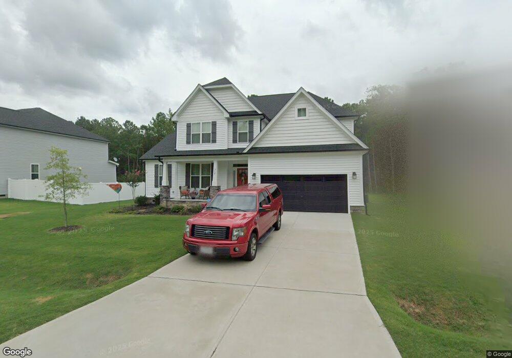
260 Colson Ridge Dr Clayton, NC 27520
Cleveland NeighborhoodEstimated Value: $575,000 - $589,000
4
Beds
4
Baths
3,287
Sq Ft
$176/Sq Ft
Est. Value
About This Home
This home is located at 260 Colson Ridge Dr, Clayton, NC 27520 and is currently estimated at $579,923, approximately $176 per square foot. 260 Colson Ridge Dr is a home located in Johnston County with nearby schools including Polenta Elementary School, Swift Creek Middle, and Cleveland High School.
Ownership History
Date
Name
Owned For
Owner Type
Purchase Details
Closed on
Mar 10, 2020
Sold by
Waterford Green Communities Of Nc Llc
Bought by
Bulls Philip Corey and Bulls Dana A
Current Estimated Value
Home Financials for this Owner
Home Financials are based on the most recent Mortgage that was taken out on this home.
Original Mortgage
$363,300
Outstanding Balance
$321,140
Interest Rate
3.4%
Mortgage Type
VA
Estimated Equity
$258,783
Purchase Details
Closed on
Jan 11, 2019
Sold by
Clifton Lanny K and Clifton Diane
Bought by
Waterford Green Communities Of Nc Llc
Home Financials for this Owner
Home Financials are based on the most recent Mortgage that was taken out on this home.
Original Mortgage
$1,750,000
Interest Rate
4.7%
Mortgage Type
Purchase Money Mortgage
Create a Home Valuation Report for This Property
The Home Valuation Report is an in-depth analysis detailing your home's value as well as a comparison with similar homes in the area
Home Values in the Area
Average Home Value in this Area
Purchase History
| Date | Buyer | Sale Price | Title Company |
|---|---|---|---|
| Bulls Philip Corey | $363,500 | None Available | |
| Waterford Green Communities Of Nc Llc | $480,000 | None Available |
Source: Public Records
Mortgage History
| Date | Status | Borrower | Loan Amount |
|---|---|---|---|
| Open | Bulls Philip Corey | $363,300 | |
| Previous Owner | Waterford Green Communities Of Nc Llc | $1,750,000 |
Source: Public Records
Tax History Compared to Growth
Tax History
| Year | Tax Paid | Tax Assessment Tax Assessment Total Assessment is a certain percentage of the fair market value that is determined by local assessors to be the total taxable value of land and additions on the property. | Land | Improvement |
|---|---|---|---|---|
| 2025 | $3,243 | $555,750 | $80,000 | $475,750 |
| 2024 | $2,682 | $376,170 | $60,000 | $316,170 |
| 2023 | $2,591 | $376,170 | $60,000 | $316,170 |
| 2022 | $2,724 | $376,170 | $60,000 | $316,170 |
| 2021 | $3,094 | $376,170 | $60,000 | $316,170 |
| 2020 | $3,132 | $376,170 | $60,000 | $316,170 |
| 2019 | $250 | $30,000 | $30,000 | $0 |
Source: Public Records
Map
Nearby Homes
- 420 Colson Ridge Dr
- 53 Jonalker Ct
- 0 Monroe Rd
- 21 Woodcreek Ln
- 13 Knotty Pine Ln
- 238 Farrington Dr
- 46 Hillmont Dr
- 202 Hillmont Dr
- 84 Scarlet Oak Run
- 363 Grey Hawk Dr
- 384 Grey Hawk Dr
- 334 Victor Ct
- 119 Sommerset Dr
- 137 Winding Oak Way
- 349 Ambassador Dr
- 340 Ambassador Dr
- 2300 Sterling Dr
- 330 Ambassador Dr
- 280 Ambassador Dr
- 290 Ambassador Dr
- 260 Colson Ridge Dr
- 250 Colson Ridge Dr
- 250 Colson Ridge Dr
- 274 Colson Ridge Dr
- 274 Colson Ridge Dr
- 390 Colson Ridge Dr
- 390 Colson Ridge Dr
- 408 Colson Ridge Dr
- 408 Colson Ridge Dr
- 368 Colson Ridge Dr
- 316 Colson Ridge Dr
- 316 Colson Ridge Dr
- 420 Colson Ridge Dr
- 350 Colson Ridge Dr
- 330 Colson Ridge Dr
- 330 Colson Ridge Dr
- 428 Colson Ridge Dr
- 428 Colson Ridge Dr
- 16 Krosley Run Ct
- 16 Krosley Run Ct