260 Cox Rd Castle Rock, WA 98611
Estimated Value: $438,000 - $634,000
3
Beds
2
Baths
1,716
Sq Ft
$308/Sq Ft
Est. Value
About This Home
This home is located at 260 Cox Rd, Castle Rock, WA 98611 and is currently estimated at $528,043, approximately $307 per square foot. 260 Cox Rd is a home with nearby schools including Castle Rock Elementary School, Castle Rock Middle School, and Castle Rock High School.
Ownership History
Date
Name
Owned For
Owner Type
Purchase Details
Closed on
Jun 22, 2009
Sold by
Gilbert Randy J and Gilbert Kelly R
Bought by
Gilbert Randy J
Current Estimated Value
Purchase Details
Closed on
Dec 21, 2005
Sold by
Lafountaine Timothy D
Bought by
Gilbert Randy J and Gilbert Kelly R
Home Financials for this Owner
Home Financials are based on the most recent Mortgage that was taken out on this home.
Original Mortgage
$196,000
Interest Rate
6.36%
Mortgage Type
Construction
Create a Home Valuation Report for This Property
The Home Valuation Report is an in-depth analysis detailing your home's value as well as a comparison with similar homes in the area
Home Values in the Area
Average Home Value in this Area
Purchase History
| Date | Buyer | Sale Price | Title Company |
|---|---|---|---|
| Gilbert Randy J | -- | Transnation Title Ins Co | |
| Gilbert Randy J | $38,000 | Chicago Title Ins |
Source: Public Records
Mortgage History
| Date | Status | Borrower | Loan Amount |
|---|---|---|---|
| Previous Owner | Gilbert Randy J | $196,000 |
Source: Public Records
Tax History Compared to Growth
Tax History
| Year | Tax Paid | Tax Assessment Tax Assessment Total Assessment is a certain percentage of the fair market value that is determined by local assessors to be the total taxable value of land and additions on the property. | Land | Improvement |
|---|---|---|---|---|
| 2024 | $461 | $92,808 | $190 | $92,618 |
| 2023 | $451 | $92,958 | $180 | $92,778 |
| 2022 | $411 | $97,078 | $180 | $96,898 |
| 2021 | $1,907 | $256,380 | $11,760 | $244,620 |
| 2020 | $1,725 | $229,100 | $10,680 | $218,420 |
| 2019 | $1,544 | $217,804 | $9,789 | $208,015 |
| 2018 | $1,570 | $192,260 | $9,790 | $182,470 |
| 2017 | $1,542 | $166,110 | $9,280 | $156,830 |
| 2016 | $1,426 | $167,920 | $9,120 | $158,800 |
| 2015 | $1,412 | $154,170 | $9,080 | $145,090 |
| 2013 | -- | $139,630 | $8,460 | $131,170 |
Source: Public Records
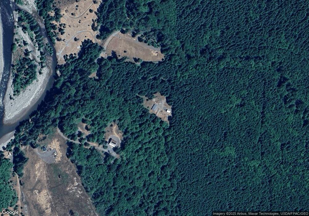
Map
Nearby Homes
- 0 NKA Spirit Lake Hwy
- 0 NKA Tower Rd
- 721 Lapham Rd
- 171 Mask Ln
- 193 Mask Ln
- 178 Mask Ln
- 723 Lapham Rd
- 418 Shy Bear Rd
- 126 Zephyr Dr
- 122 Zephyr Dr
- 123 Zephyr Dr
- 146 Zephyr Dr
- 0 Crabill Rd Unit 765813628
- 0 Crabill Rd Unit NWM2407210
- 0 Crabill Rd Unit NWM2374980
- 121 Streeter Rd
- 4 Washington 505
- 114 Mason Rd
- 107 Basswood Dr