260 Crown Point Dr Bellvue, CO 80512
Estimated Value: $493,213 - $625,000
2
Beds
2
Baths
792
Sq Ft
$679/Sq Ft
Est. Value
About This Home
This home is located at 260 Crown Point Dr, Bellvue, CO 80512 and is currently estimated at $537,553, approximately $678 per square foot. 260 Crown Point Dr is a home located in Larimer County with nearby schools including Cache La Poudre Elementary School and Poudre High School.
Ownership History
Date
Name
Owned For
Owner Type
Purchase Details
Closed on
Jul 27, 2012
Sold by
Stanley Robert J and Stanley Marcia L
Bought by
The Stanley Family Revocable Trust and Stanley Robert J
Current Estimated Value
Purchase Details
Closed on
May 29, 2009
Sold by
Shaproski Janice J and Shaproski John
Bought by
Stanley Robert J and Stanley Marcia L
Purchase Details
Closed on
Apr 4, 2006
Sold by
Shaproski Janice J
Bought by
Shaproski Janice J and Shaproski John
Purchase Details
Closed on
Jul 9, 2002
Sold by
Shaprowski Janice J
Bought by
Shaprowski Janice J and Shaprowski John
Purchase Details
Closed on
May 1, 1978
Bought by
Maxwell Donald and Maxwell Dorothy
Create a Home Valuation Report for This Property
The Home Valuation Report is an in-depth analysis detailing your home's value as well as a comparison with similar homes in the area
Home Values in the Area
Average Home Value in this Area
Purchase History
| Date | Buyer | Sale Price | Title Company |
|---|---|---|---|
| The Stanley Family Revocable Trust | -- | None Available | |
| Stanley Robert J | $237,000 | Stewart Title Of Colorado In | |
| Shaproski Janice J | -- | None Available | |
| Shaprowski Janice J | $180,000 | -- | |
| Maxwell Donald | $35,000 | -- |
Source: Public Records
Tax History Compared to Growth
Tax History
| Year | Tax Paid | Tax Assessment Tax Assessment Total Assessment is a certain percentage of the fair market value that is determined by local assessors to be the total taxable value of land and additions on the property. | Land | Improvement |
|---|---|---|---|---|
| 2025 | $5,007 | $32,763 | $6,700 | $26,063 |
| 2024 | $4,871 | $32,763 | $6,700 | $26,063 |
| 2022 | $4,311 | $22,852 | $6,533 | $16,319 |
| 2021 | $4,340 | $23,509 | $6,721 | $16,788 |
| 2020 | $4,124 | $21,243 | $6,721 | $14,522 |
| 2019 | $4,133 | $21,243 | $6,721 | $14,522 |
| 2018 | $4,307 | $23,558 | $6,336 | $17,222 |
| 2017 | $2,380 | $23,558 | $6,336 | $17,222 |
| 2016 | $2,424 | $23,880 | $5,970 | $17,910 |
| 2015 | $2,408 | $30,630 | $5,970 | $24,660 |
| 2014 | $2,116 | $20,860 | $4,060 | $16,800 |
Source: Public Records
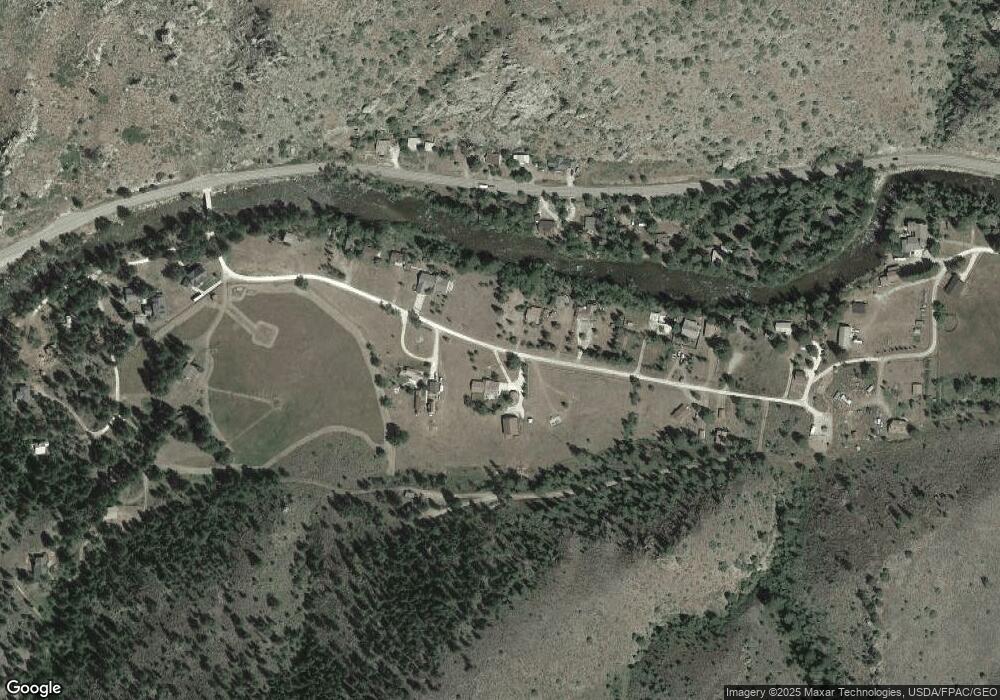
Map
Nearby Homes
- 209 Crown Point Dr
- 32224 Poudre Canyon Rd
- 50 Meadow Ln
- 110 Meadow Ln
- 277 Riverside Dr
- 428 Rustic Rd
- 504 Rustic Rd
- 33032 Poudre Canyon Rd
- 0 County Road 68c
- 37797 W Highway 14
- 37797 Poudre Canyon Rd
- 23348 W County Road 74e
- 24192 W County Road 74e
- 76 Piney Knolls Dr
- 255 Bogie Ave
- 17931 W County Road 74e
- 231 Snake Lake Dr
- 983 Ramona Dr
- 11 Monument Gulch Way
- 121 Pine Nut Ln
- 250 Crown Point Dr
- 296 Crown Point Dr
- 226 Crown Point Dr
- 32189 W Highway 14
- 32189 Poudre Canyon Rd
- 32205 Poudre Canyon Rd
- 314 Crown Point Dr
- 32175 Poudre Canyon Rd
- 237 Crown Point
- 32237 Poudre Canyon Rd
- 399 Crown Point Dr
- 320 Crown Point Dr
- 190 Crown Point Dr
- 237 Crown Point Dr
- 32133 Poudre Canyon Rd
- 311 Crown Point Dr
- 348 Crown Point Dr
- 1 Tbd Poudre Canyon Hwy
- 32265 Poudre Canyon Rd
- 32121 Poudre Canyon Rd