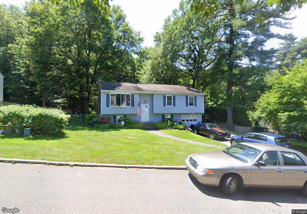
260 Ellendale Cir Springfield, MA 01128
Sixteen Acres NeighborhoodEstimated Value: $335,000 - $364,000
3
Beds
2
Baths
1,220
Sq Ft
$285/Sq Ft
Est. Value
About This Home
This home is located at 260 Ellendale Cir, Springfield, MA 01128 and is currently estimated at $347,579, approximately $284 per square foot. 260 Ellendale Cir is a home located in Hampden County with nearby schools including Daniel B Brunton, M Marcus Kiley Middle, and Springfield High School of Science and Technology.
Ownership History
Date
Name
Owned For
Owner Type
Purchase Details
Closed on
Jul 7, 1989
Sold by
Bartolucci Dennis D
Bought by
Kazalis Stephen M
Current Estimated Value
Home Financials for this Owner
Home Financials are based on the most recent Mortgage that was taken out on this home.
Original Mortgage
$50,000
Interest Rate
10.38%
Mortgage Type
Purchase Money Mortgage
Create a Home Valuation Report for This Property
The Home Valuation Report is an in-depth analysis detailing your home's value as well as a comparison with similar homes in the area
Home Values in the Area
Average Home Value in this Area
Purchase History
| Date | Buyer | Sale Price | Title Company |
|---|---|---|---|
| Kazalis Stephen M | $127,500 | -- |
Source: Public Records
Mortgage History
| Date | Status | Borrower | Loan Amount |
|---|---|---|---|
| Closed | Kazalis Stephen M | $42,000 | |
| Closed | Kazalis Stephen M | $50,000 |
Source: Public Records
Tax History Compared to Growth
Tax History
| Year | Tax Paid | Tax Assessment Tax Assessment Total Assessment is a certain percentage of the fair market value that is determined by local assessors to be the total taxable value of land and additions on the property. | Land | Improvement |
|---|---|---|---|---|
| 2025 | $4,958 | $316,200 | $64,300 | $251,900 |
| 2024 | $4,987 | $310,500 | $64,300 | $246,200 |
| 2023 | $4,302 | $252,300 | $61,200 | $191,100 |
| 2022 | $4,171 | $221,600 | $64,300 | $157,300 |
| 2021 | $3,946 | $208,800 | $58,500 | $150,300 |
| 2020 | $3,832 | $196,200 | $58,500 | $137,700 |
| 2019 | $3,706 | $188,300 | $58,500 | $129,800 |
| 2018 | $3,731 | $189,600 | $58,500 | $131,100 |
| 2017 | $3,553 | $180,700 | $58,500 | $122,200 |
| 2016 | $3,382 | $172,000 | $58,500 | $113,500 |
| 2015 | $3,192 | $162,300 | $58,500 | $103,800 |
Source: Public Records
Map
Nearby Homes
- 81 Oak Hollow Rd
- 17 Skyridge Ln
- 71 Hilltop St
- 0 Apple Blossom Ln
- 19 Ruthven St
- 263 Cooley St
- 399 Elm St
- 383 Porter Rd
- 124 Sierra Vista Rd
- 5 Kerry Dr
- 65 Fair Oak Rd
- 65 Wilshire Rd
- 90 Feltham Rd
- 121 W Crystal Brook Dr
- 152 Brookhaven Dr
- 152 Druid Hill Rd
- 331 Newhouse St
- 217 Hanson Dr
- 99 W Crystal Brook Dr
- 86 Talmadge Dr
- 252 Ellendale Cir
- 270 Ellendale Cir
- 244 Ellendale Cir
- 280 Ellendale Cir
- 267 Ellendale Cir
- 257 Ellendale Cir
- 285 Ellendale Cir
- 290 Ellendale Cir
- 249 Ellendale Cir
- 234 Ellendale Cir
- 2031 Allen St
- 239 Ellendale Cir
- 295 Ellendale Cir
- 226 Ellendale Cir
- 77 Paulk Terrace
- 2036 Parker St
- 2016 Parker St
- 67 Paulk Terrace
- 2042 Parker St
- 85 Paulk Terrace