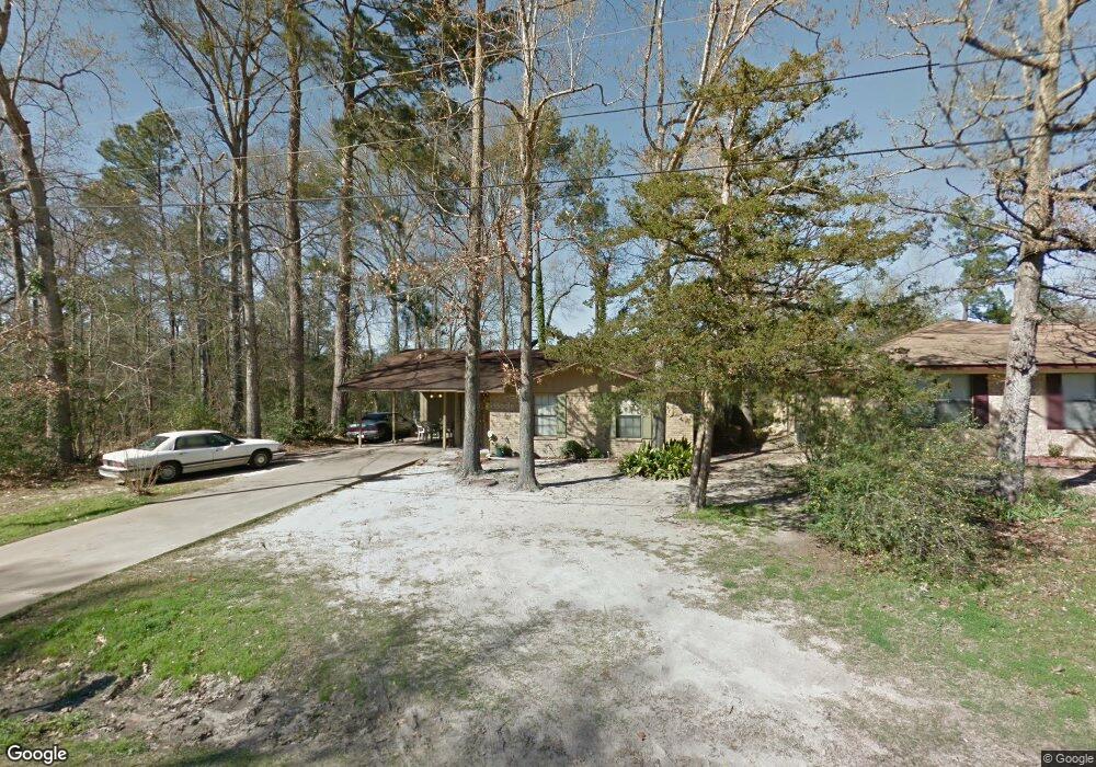
260 Falcon Ave Lufkin, TX 75904
Estimated Value: $140,304 - $170,000
--
Bed
5
Baths
1,213
Sq Ft
$127/Sq Ft
Est. Value
About This Home
This home is located at 260 Falcon Ave, Lufkin, TX 75904 and is currently estimated at $153,576, approximately $126 per square foot. 260 Falcon Ave is a home located in Angelina County with nearby schools including W.F. Peavy Primary School, W.H. Bonner Elementary School, and Hudson Middle School.
Ownership History
Date
Name
Owned For
Owner Type
Purchase Details
Closed on
Aug 5, 2025
Sold by
Mcclelland Kristi
Bought by
Laras Real Estate Llc and Farrell
Current Estimated Value
Purchase Details
Closed on
Jul 16, 2008
Sold by
United States Of America
Bought by
Mcclelland Kristi
Home Financials for this Owner
Home Financials are based on the most recent Mortgage that was taken out on this home.
Original Mortgage
$24,320
Interest Rate
6.5%
Mortgage Type
Adjustable Rate Mortgage/ARM
Create a Home Valuation Report for This Property
The Home Valuation Report is an in-depth analysis detailing your home's value as well as a comparison with similar homes in the area
Home Values in the Area
Average Home Value in this Area
Purchase History
| Date | Buyer | Sale Price | Title Company |
|---|---|---|---|
| Laras Real Estate Llc | -- | Angelina Title | |
| Mcclelland Kristi | $24,320 | Community Title |
Source: Public Records
Mortgage History
| Date | Status | Borrower | Loan Amount |
|---|---|---|---|
| Previous Owner | Mcclelland Kristi | $24,320 |
Source: Public Records
Tax History Compared to Growth
Tax History
| Year | Tax Paid | Tax Assessment Tax Assessment Total Assessment is a certain percentage of the fair market value that is determined by local assessors to be the total taxable value of land and additions on the property. | Land | Improvement |
|---|---|---|---|---|
| 2025 | $1,463 | $98,560 | $16,270 | $82,290 |
| 2024 | $1,429 | $96,300 | $16,270 | $80,030 |
| 2023 | $1,399 | $94,790 | $16,270 | $78,520 |
| 2022 | $1,606 | $95,450 | $9,140 | $86,310 |
| 2021 | $1,578 | $86,020 | $5,800 | $80,220 |
| 2020 | $1,345 | $73,240 | $5,970 | $67,270 |
| 2019 | $1,350 | $71,110 | $5,800 | $65,310 |
| 2018 | $1,271 | $69,610 | $5,800 | $63,810 |
| 2017 | $1,271 | $66,230 | $5,800 | $60,430 |
| 2016 | $1,227 | $63,890 | $5,800 | $58,090 |
| 2015 | $1,098 | $63,890 | $5,800 | $58,090 |
| 2014 | $1,098 | $64,960 | $5,800 | $59,160 |
Source: Public Records
Map
Nearby Homes
- 260 Falcon Ave
- 183 Falcon Ave
- Lot 2 Bethlehem Rd
- 105,115,116,195 Wilcox Dr
- 339 Liles Ln
- 3335 Bethlehem Rd
- 3405 Bethlehem Rd
- 176 Lancewood Cir
- 3202 Bethlehem Rd
- 151 Lancewood Cir
- 1072 Stephenson Brown Rd
- 5740 Hwy 103e
- TBD James Oates Rd
- Derek RD None
- 895 Foster Rd
- 885 Foster Rd
- 0000 Roy Christie Rd
- 277 Mcclendon Rd
- Lot 1A Welch Hill Top Rd
- Lot 1D Welch Hill Top Rd
- 308 Falcon Ave
- 246 Falcon Ave
- 232 Falcon Ave
- 220 Falcon Ave
- 239 Falcon Ave
- 219 Falcon Ave
- 208 Falcon Ave
- 300 Falcon Ave
- 108 Redbird Cir
- 103 Bluejay Cir
- 175 Falcon Ave
- 103 Blue Jay Cir
- 110 Bluejay Cir
- 216 Canary Cir
- 117 Bluejay Cir
- 141 Falcon Ave
- 190 Canary Cir
- 504 Falcon Ave
- 332 Falcon Ave
- 176 Falcon Ave