260 Franklin St Unit 2 Braintree, MA 02184
North Braintree NeighborhoodEstimated Value: $637,303 - $727,000
2
Beds
4
Baths
1,944
Sq Ft
$354/Sq Ft
Est. Value
About This Home
This home is located at 260 Franklin St Unit 2, Braintree, MA 02184 and is currently estimated at $688,826, approximately $354 per square foot. 260 Franklin St Unit 2 is a home located in Norfolk County with nearby schools including Braintree High School, Step Ahead Kindergarten, and Meeting House Montessori School.
Ownership History
Date
Name
Owned For
Owner Type
Purchase Details
Closed on
May 3, 2010
Sold by
Barry Leo J and Barry Patricia A
Bought by
Dobrolinski Dariusz and Dobrolinski Renata
Current Estimated Value
Home Financials for this Owner
Home Financials are based on the most recent Mortgage that was taken out on this home.
Original Mortgage
$292,000
Outstanding Balance
$195,140
Interest Rate
4.99%
Mortgage Type
Purchase Money Mortgage
Estimated Equity
$493,686
Purchase Details
Closed on
Jun 22, 2009
Sold by
L & P Rt
Bought by
Barry Leo J and Barry Patricia A
Create a Home Valuation Report for This Property
The Home Valuation Report is an in-depth analysis detailing your home's value as well as a comparison with similar homes in the area
Home Values in the Area
Average Home Value in this Area
Purchase History
| Date | Buyer | Sale Price | Title Company |
|---|---|---|---|
| Dobrolinski Dariusz | $365,000 | -- | |
| Barry Leo J | -- | -- |
Source: Public Records
Mortgage History
| Date | Status | Borrower | Loan Amount |
|---|---|---|---|
| Open | Dobrolinski Dariusz | $292,000 |
Source: Public Records
Tax History
| Year | Tax Paid | Tax Assessment Tax Assessment Total Assessment is a certain percentage of the fair market value that is determined by local assessors to be the total taxable value of land and additions on the property. | Land | Improvement |
|---|---|---|---|---|
| 2025 | $5,415 | $542,600 | $0 | $542,600 |
| 2024 | $5,048 | $532,500 | $0 | $532,500 |
| 2023 | $4,715 | $483,100 | $0 | $483,100 |
| 2022 | $4,617 | $464,000 | $0 | $464,000 |
| 2021 | $4,617 | $464,000 | $0 | $464,000 |
| 2020 | $4,575 | $464,000 | $0 | $464,000 |
| 2019 | $4,498 | $445,800 | $0 | $445,800 |
| 2018 | $4,055 | $384,700 | $0 | $384,700 |
| 2017 | $4,278 | $398,300 | $0 | $398,300 |
| 2016 | $4,335 | $394,800 | $0 | $394,800 |
| 2015 | $3,961 | $357,800 | $0 | $357,800 |
| 2014 | $3,877 | $339,500 | $0 | $339,500 |
Source: Public Records
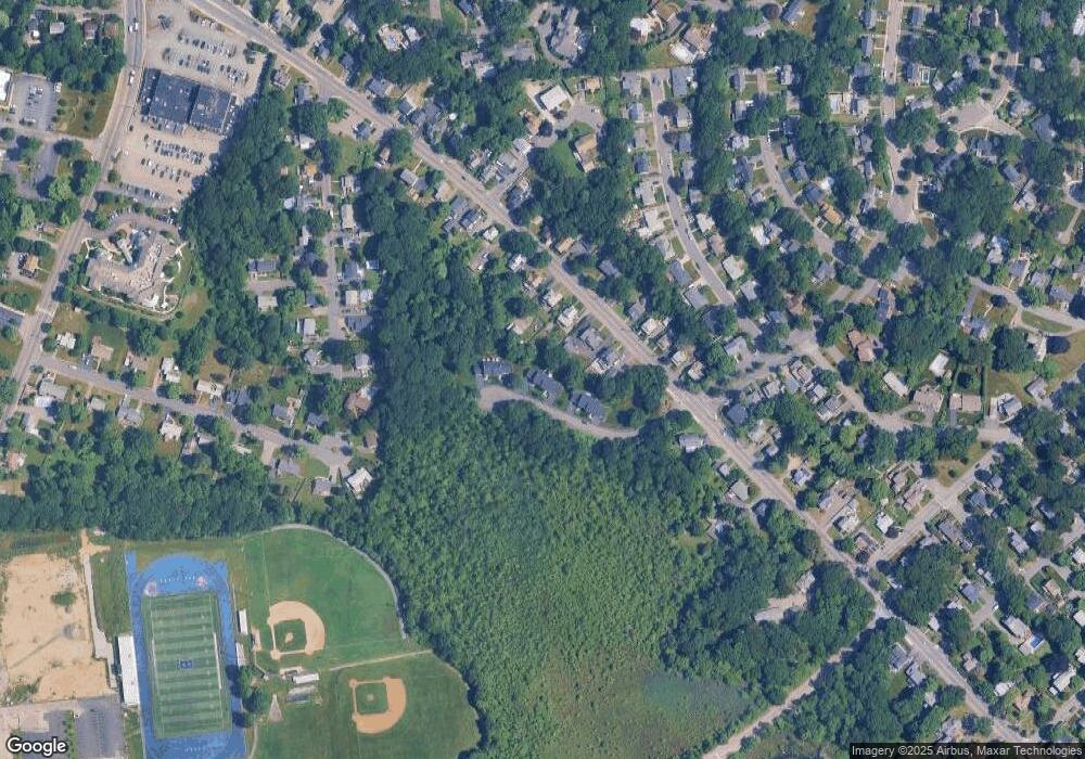
Map
Nearby Homes
- 14 Sumner Ave
- 18 Royal Lake Dr Unit 3
- 83 Franklin St
- 7 Del's Way
- 6 Franklin St
- 15 Calvin St
- 87 Walnut St
- 5 Woodsum Dr Unit 12
- 77 French Ave
- 632 Washington St Unit G5
- 491 Washington St Unit 1
- 469-471 Washington St
- 145 Hancock St Unit 307
- 145 Hancock St Unit 201
- 20 Blossom Rd
- 80 Lake St
- 35 Armstrong Cir
- 18 Howie Rd
- 63 Dickerman Ln
- 21 Barstow Dr
- 260 Franklin St Unit 5
- 260 Franklin St Unit 4
- 260 Franklin St Unit 3
- 260 Franklin St Unit 1
- 288 Franklin St
- 276 Franklin St
- 292 Franklin St
- 296 Franklin St Unit 298
- 304 Franklin St
- 72 Andersen Rd
- 252 Franklin St
- 308 Franklin St
- 71 Andersen Rd
- 273 Franklin St
- 273 Franklin St Unit 1
- 68 Andersen Rd
- 279 Franklin St
- 285 Franklin St
- 267 Franklin St
- 56 Newport Ave
Your Personal Tour Guide
Ask me questions while you tour the home.