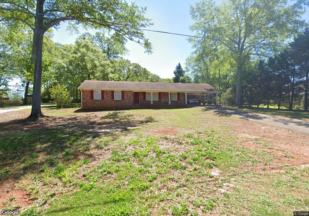
260 Harrell Cir Barnesville, GA 30204
Estimated Value: $219,961 - $269,000
3
Beds
2
Baths
1,448
Sq Ft
$170/Sq Ft
Est. Value
About This Home
This home is located at 260 Harrell Cir, Barnesville, GA 30204 and is currently estimated at $246,490, approximately $170 per square foot. 260 Harrell Cir is a home located in Lamar County with nearby schools including Lamar County Primary School, Lamar County Elementary School, and Lamar County Middle School.
Ownership History
Date
Name
Owned For
Owner Type
Purchase Details
Closed on
Mar 17, 2011
Sold by
Mayfield L Scott
Bought by
Ruffin Donald J
Current Estimated Value
Purchase Details
Closed on
May 30, 2007
Sold by
Cain Alton Lee
Bought by
Cain Dorothy M
Purchase Details
Closed on
Jul 1, 1991
Sold by
George Lewis
Bought by
Cain A L
Create a Home Valuation Report for This Property
The Home Valuation Report is an in-depth analysis detailing your home's value as well as a comparison with similar homes in the area
Home Values in the Area
Average Home Value in this Area
Purchase History
| Date | Buyer | Sale Price | Title Company |
|---|---|---|---|
| Ruffin Donald J | $55,000 | -- | |
| Cain Dorothy M | -- | -- | |
| Cain A L | $50,500 | -- |
Source: Public Records
Tax History
| Year | Tax Paid | Tax Assessment Tax Assessment Total Assessment is a certain percentage of the fair market value that is determined by local assessors to be the total taxable value of land and additions on the property. | Land | Improvement |
|---|---|---|---|---|
| 2025 | $2,216 | $82,683 | $7,400 | $75,283 |
| 2024 | $1,955 | $68,226 | $7,400 | $60,826 |
| 2023 | $1,924 | $62,312 | $7,400 | $54,912 |
| 2022 | $1,602 | $58,048 | $7,400 | $50,648 |
| 2021 | $1,418 | $47,154 | $7,400 | $39,754 |
| 2020 | $1,332 | $42,084 | $7,400 | $34,684 |
| 2019 | $1,336 | $42,084 | $7,400 | $34,684 |
| 2018 | $1,179 | $38,694 | $7,400 | $31,294 |
| 2017 | $1,173 | $38,694 | $7,400 | $31,294 |
| 2016 | $1,173 | $38,694 | $7,400 | $31,294 |
| 2015 | $1,172 | $38,694 | $7,400 | $31,294 |
| 2014 | $1,136 | $38,694 | $7,400 | $31,294 |
| 2013 | -- | $38,694 | $7,400 | $31,294 |
Source: Public Records
Map
Nearby Homes
- 0 Highway 341 S Unit 181569
- 0 Highway 341 S Unit 10610486
- 0 Yatesville Rd Unit 10650403
- 0 College Dr Unit 10632977
- 147 Stafford Ave
- 642 Greenwood St
- 114 Stafford Ave
- 275 Rose Ave
- 329 Pine St
- 531 Thomaston St
- 149 Holmes St
- 1013 Veterans Pkwy
- 0 Us Highway 41
- 149 Akins St
- 7 Jackson St
- 407 Westchester Dr
- 108 Bradley Cir
- 13 Brown St
- 24 Sims St
- 0 Washington St Unit 10710879
- 264 Harrell Cir
- 254 Harrell Cir
- 218 Murphey Ave
- 255 Harrell Cir
- 0 LOT 3 Murphey Ave
- 0 LOT 2 Murphey Ave
- 0 LOT 1 Murphey Ave
- 143 Presidents Walk
- 143 Presidents Walk
- 147 Presidents Walk
- 253 Harrell Cir
- 0 Murphy Ave Unit 7224754
- 0 Murphey Ave Unit 9079305
- 215 Murphey Ave
- 191 Murphey Ave
- 240 Harrell Cir
- LOT E Murphey Ave
- 189 Murphey Ave
- 189 Murphey Ave
- 245 Harrell Cir
Your Personal Tour Guide
Ask me questions while you tour the home.