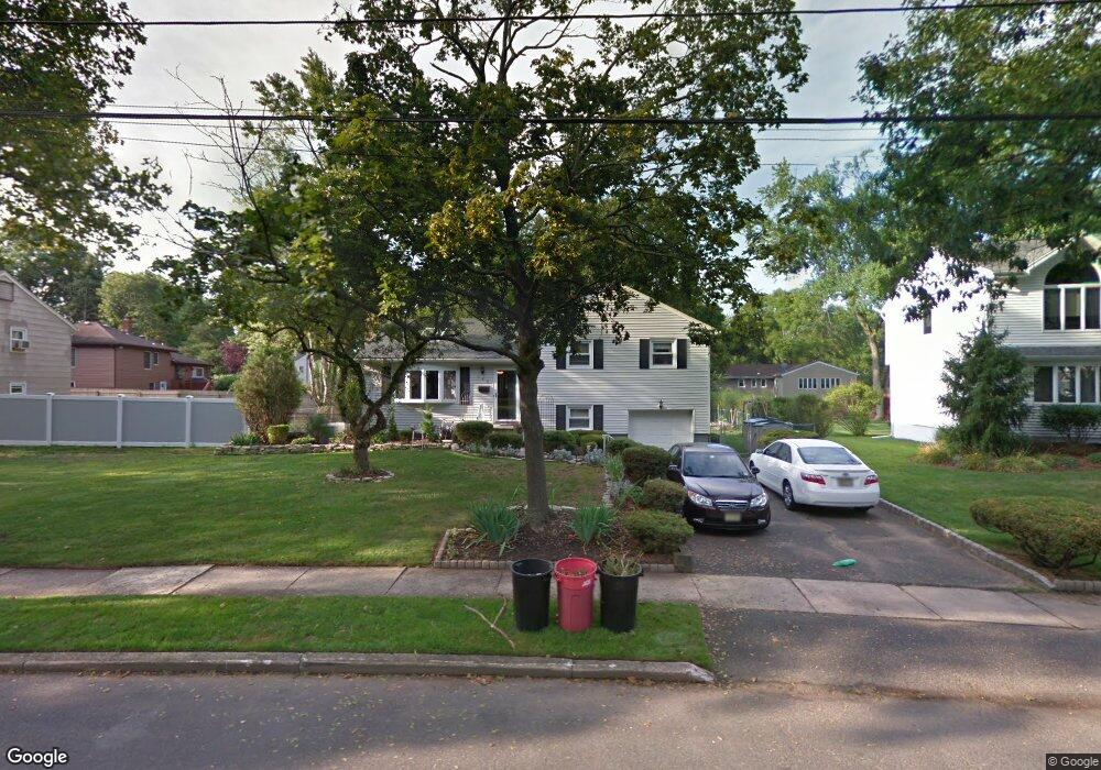
260 Homestead Rd Paramus, NJ 07652
Estimated Value: $881,000 - $1,018,000
Studio
--
Bath
1,482
Sq Ft
$626/Sq Ft
Est. Value
About This Home
This home is located at 260 Homestead Rd, Paramus, NJ 07652 and is currently estimated at $927,875, approximately $626 per square foot. 260 Homestead Rd is a home located in Bergen County with nearby schools including Paramus High School, David Gregory School, and Bergen Catholic High School.
Ownership History
Date
Name
Owned For
Owner Type
Purchase Details
Closed on
Jul 22, 2009
Sold by
Jursch Douglas E
Bought by
Didomenico Anthony and Tormey Di Domenico Evonne
Current Estimated Value
Home Financials for this Owner
Home Financials are based on the most recent Mortgage that was taken out on this home.
Original Mortgage
$295,000
Outstanding Balance
$194,095
Interest Rate
5.47%
Mortgage Type
Purchase Money Mortgage
Estimated Equity
$733,780
Create a Home Valuation Report for This Property
The Home Valuation Report is an in-depth analysis detailing your home's value as well as a comparison with similar homes in the area
Home Values in the Area
Average Home Value in this Area
Purchase History
| Date | Buyer | Sale Price | Title Company |
|---|---|---|---|
| Didomenico Anthony | $485,000 | -- |
Source: Public Records
Mortgage History
| Date | Status | Borrower | Loan Amount |
|---|---|---|---|
| Open | Didomenico Anthony | $295,000 |
Source: Public Records
Tax History
| Year | Tax Paid | Tax Assessment Tax Assessment Total Assessment is a certain percentage of the fair market value that is determined by local assessors to be the total taxable value of land and additions on the property. | Land | Improvement |
|---|---|---|---|---|
| 2025 | $9,082 | $673,500 | $468,700 | $204,800 |
| 2024 | $8,807 | $599,900 | $403,500 | $196,400 |
| 2023 | $8,347 | $574,100 | $383,400 | $190,700 |
| 2022 | $8,347 | $537,800 | $357,000 | $180,800 |
| 2021 | $8,176 | $494,300 | $326,800 | $167,500 |
| 2020 | $7,785 | $488,100 | $321,800 | $166,300 |
| 2019 | $7,081 | $381,500 | $271,600 | $109,900 |
| 2018 | $6,993 | $381,500 | $271,600 | $109,900 |
| 2017 | $6,871 | $381,500 | $271,600 | $109,900 |
| 2016 | $6,684 | $381,500 | $271,600 | $109,900 |
| 2015 | $6,615 | $381,500 | $271,600 | $109,900 |
| 2014 | $6,558 | $381,500 | $271,600 | $109,900 |
Source: Public Records
Map
Nearby Homes
- 6 Merrimack Ct
- 495 Wilson Ave
- 217 Sweetbriar Place
- 454 E Ridgewood Ave
- 261 Idaho St
- 277 Columbia Terrace
- 850 Ridgewood Ave
- 949 Oradell Ave
- 537 Spring Valley Rd
- 216 E Midland Ave
- 461 Arthur Terrace
- 623 Alberta Dr
- 408 Chelsea St
- 452 Oregon St
- 319 Franklin Place
- 206 Harwood Place
- 366 Valley View Ave
- 360 Valley View Ave
- 492 Oaktree Rd
- 750 Martin Ave
- 256 Homestead Rd
- 264 Homestead Rd
- 281 Homestead Rd
- 325 Mckinley Blvd
- 327 Mckinley Blvd
- 252 Homestead Rd
- 321 Mckinley Blvd
- 536 Clinton Rd
- 331 Mckinley Blvd
- 248 Homestead Rd
- 317 Mckinley Blvd
- 265 Homestead Rd
- 333 Mckinley Blvd
- 538 Clinton Rd
- 326 Mckinley Blvd
- 278 Homestead Rd
- 282 Homestead Rd
- 251 Homestead Rd
- 274 Homestead Rd
- 244 Homestead Rd
Your Personal Tour Guide
Ask me questions while you tour the home.