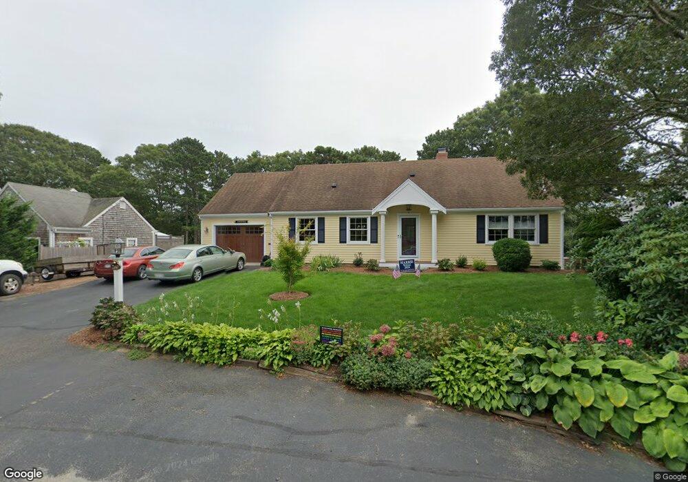
260 Long Pond Dr South Yarmouth, MA 02664
South Yarmouth NeighborhoodEstimated Value: $818,000 - $987,000
3
Beds
3
Baths
1,955
Sq Ft
$464/Sq Ft
Est. Value
About This Home
This home is located at 260 Long Pond Dr, South Yarmouth, MA 02664 and is currently estimated at $906,941, approximately $463 per square foot. 260 Long Pond Dr is a home located in Barnstable County with nearby schools including Dennis-Yarmouth Regional High School, Sturgis Charter Public School, and St. Pius X. School.
Ownership History
Date
Name
Owned For
Owner Type
Purchase Details
Closed on
Oct 15, 2009
Sold by
Frederick E Ellis Ret and Ellis Jason Todd
Bought by
Arnone David M and Arnone Sandra W
Current Estimated Value
Home Financials for this Owner
Home Financials are based on the most recent Mortgage that was taken out on this home.
Original Mortgage
$349,600
Outstanding Balance
$228,982
Interest Rate
5.14%
Mortgage Type
Purchase Money Mortgage
Estimated Equity
$677,959
Create a Home Valuation Report for This Property
The Home Valuation Report is an in-depth analysis detailing your home's value as well as a comparison with similar homes in the area
Home Values in the Area
Average Home Value in this Area
Purchase History
| Date | Buyer | Sale Price | Title Company |
|---|---|---|---|
| Arnone David M | $437,000 | -- |
Source: Public Records
Mortgage History
| Date | Status | Borrower | Loan Amount |
|---|---|---|---|
| Open | Arnone David M | $349,600 |
Source: Public Records
Tax History Compared to Growth
Tax History
| Year | Tax Paid | Tax Assessment Tax Assessment Total Assessment is a certain percentage of the fair market value that is determined by local assessors to be the total taxable value of land and additions on the property. | Land | Improvement |
|---|---|---|---|---|
| 2025 | $6,447 | $910,600 | $332,700 | $577,900 |
| 2024 | $5,962 | $807,800 | $289,300 | $518,500 |
| 2023 | $6,214 | $766,200 | $263,000 | $503,200 |
| 2022 | $5,793 | $631,000 | $251,000 | $380,000 |
| 2021 | $5,725 | $598,900 | $251,000 | $347,900 |
| 2020 | $5,863 | $586,300 | $265,700 | $320,600 |
| 2019 | $5,531 | $547,600 | $265,700 | $281,900 |
| 2018 | $5,179 | $503,300 | $221,400 | $281,900 |
| 2017 | $4,946 | $493,600 | $221,400 | $272,200 |
| 2016 | $4,749 | $475,900 | $203,700 | $272,200 |
| 2015 | $4,528 | $451,000 | $194,800 | $256,200 |
Source: Public Records
Map
Nearby Homes
- 147 Captain Bacon Rd
- 35 Captain Percival Rd
- 48 Captain Dore Rd
- 3 Saturn Ln
- 18 Captain Stanley Rd
- 49 Captain Besse Rd
- 24 Fast Brook Rd
- 21 Hazelmoor Rd
- 11 Bob-O-link Ln
- 68 Bob-O-link Ln
- 22 Powhatan Rd
- 15 Sharon Rd
- 17 South St
- 33 Lake Rd
- 7 Sunset Pines Rd
- 72 Quartermaster Row
- 4 Raymond Ave
- 308 Old Main St
- 33 Sparrow Way
- 745 Willow St
- 266 Long Pond Dr
- 256 Long Pond Dr
- 259 Long Pond Dr
- 270 Long Pond Dr
- 2 Hosking Ln
- 250 Long Pond Dr
- 7 Hosking Ln
- 274 Long Pond Dr
- 8 Hosking Ln
- 249 Long Pond Dr
- 275 Long Pond Dr
- 236 Long Pond Dr
- 15 Hosking Ln
- 278 Long Pond Dr
- 14 Hosking Ln
- 6 Rebecca Ln
- 283 Long Pond Dr
- 243 Long Pond Dr
- 19 Hosking Ln
- 228 Long Pond Dr