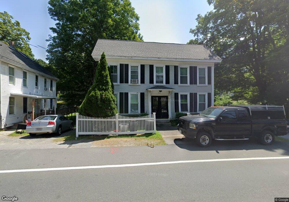
260 Main St Unit 1 Groveland, MA 01834
Estimated Value: $510,000 - $651,402
1
Bed
1
Bath
750
Sq Ft
$740/Sq Ft
Est. Value
About This Home
This home is located at 260 Main St Unit 1, Groveland, MA 01834 and is currently estimated at $555,101, approximately $740 per square foot. 260 Main St Unit 1 is a home located in Essex County with nearby schools including Pentucket Regional High School.
Ownership History
Date
Name
Owned For
Owner Type
Purchase Details
Closed on
Jan 4, 2021
Sold by
Grappi Dennis and Grappi Janice
Bought by
Janice A Grappi Irt
Current Estimated Value
Purchase Details
Closed on
Dec 5, 2013
Sold by
Grappi Dennis and Grappi Janice
Bought by
Grappi Dennis and Grappi Janice
Home Financials for this Owner
Home Financials are based on the most recent Mortgage that was taken out on this home.
Original Mortgage
$224,000
Interest Rate
4.24%
Mortgage Type
Stand Alone Refi Refinance Of Original Loan
Purchase Details
Closed on
Aug 9, 2012
Sold by
Mooney Richard E and Mooney Linda D
Bought by
Federal National Mortgage Association
Purchase Details
Closed on
Jul 17, 1995
Sold by
Epstein Jules D and Rosenhoover Lynn C
Bought by
Mooney Richard W and Barker Linda D
Create a Home Valuation Report for This Property
The Home Valuation Report is an in-depth analysis detailing your home's value as well as a comparison with similar homes in the area
Home Values in the Area
Average Home Value in this Area
Purchase History
| Date | Buyer | Sale Price | Title Company |
|---|---|---|---|
| Janice A Grappi Irt | -- | None Available | |
| Grappi Dennis | -- | -- | |
| Federal National Mortgage Association | $308,000 | -- | |
| Mooney Richard W | $166,250 | -- |
Source: Public Records
Mortgage History
| Date | Status | Borrower | Loan Amount |
|---|---|---|---|
| Previous Owner | Mooney Richard W | $224,000 | |
| Previous Owner | Mooney Richard W | $308,000 |
Source: Public Records
Tax History Compared to Growth
Tax History
| Year | Tax Paid | Tax Assessment Tax Assessment Total Assessment is a certain percentage of the fair market value that is determined by local assessors to be the total taxable value of land and additions on the property. | Land | Improvement |
|---|---|---|---|---|
| 2025 | $7,113 | $560,500 | $153,800 | $406,700 |
| 2024 | $7,243 | $534,900 | $152,200 | $382,700 |
| 2023 | $6,816 | $519,100 | $157,000 | $362,100 |
| 2022 | $6,784 | $468,800 | $137,800 | $331,000 |
| 2021 | $6,335 | $430,400 | $121,800 | $308,600 |
| 2020 | $5,412 | $385,200 | $110,500 | $274,700 |
| 2019 | $5,034 | $350,800 | $107,300 | $243,500 |
| 2018 | $4,810 | $327,400 | $97,700 | $229,700 |
| 2017 | $4,968 | $338,400 | $97,700 | $240,700 |
| 2016 | $5,034 | $333,600 | $92,900 | $240,700 |
| 2015 | $4,377 | $299,600 | $72,100 | $227,500 |
| 2014 | $4,200 | $278,900 | $72,100 | $206,800 |
Source: Public Records
Map
Nearby Homes
- 47 Gardner St
- 20 Francis Ave
- 28 Coffin Ave
- 18-1/2 Cannon Hill Ave
- 3 Marjorie St
- 33 Groveland Commons Way
- 144 Old Ferry Rd Unit H
- 7 Marjorie St
- 19 Orchard Ave Unit F
- 23 Orchard Ave Unit E
- 358 Main St
- 106 School St
- 63 Old Ferry Rd
- 404 Main St
- 49 Douglas St
- 280 E Broadway
- 98 King St
- 425 Main St
- 100 King St
- 10 Carlida Rd