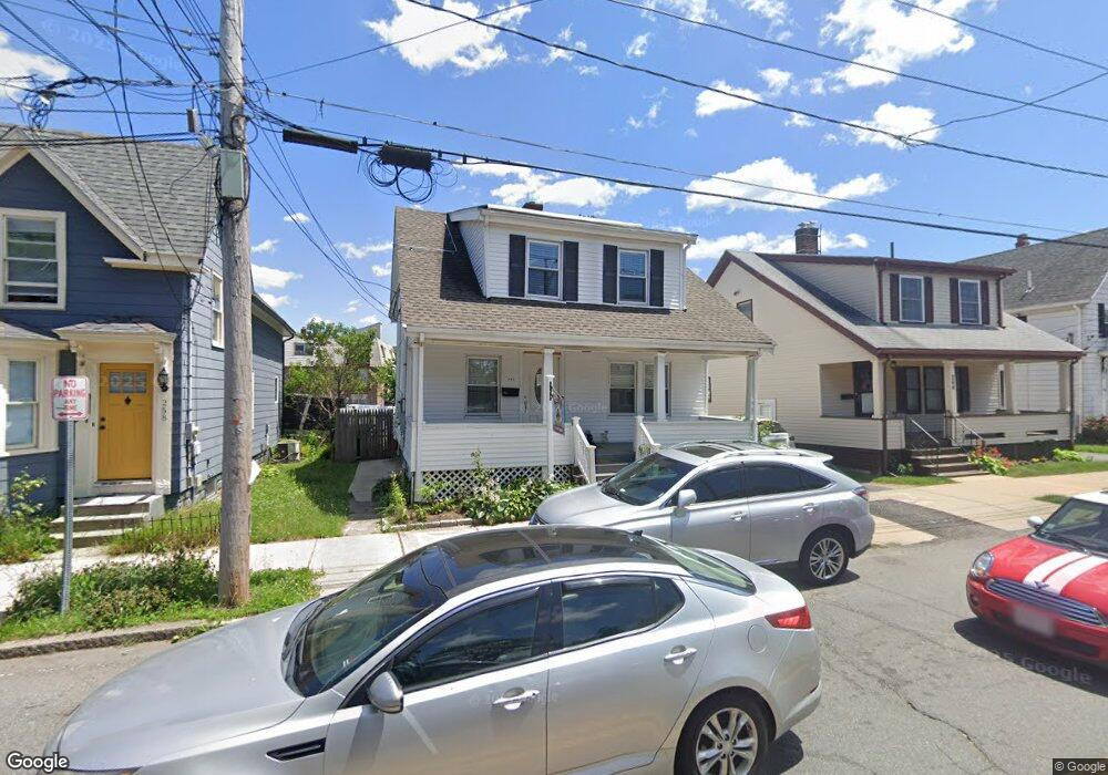
260 Maple St Lynn, MA 01904
Agganis AC NeighborhoodEstimated Value: $552,000 - $644,460
3
Beds
3
Baths
1,938
Sq Ft
$314/Sq Ft
Est. Value
About This Home
This home is located at 260 Maple St, Lynn, MA 01904 and is currently estimated at $608,865, approximately $314 per square foot. 260 Maple St is a home located in Essex County with nearby schools including Edward A. Sisson Elementary School, William R. Fallon School, and Pickering Middle School.
Ownership History
Date
Name
Owned For
Owner Type
Purchase Details
Closed on
Apr 26, 2004
Sold by
Delangis Evelyn and Delangis Thomas
Bought by
Mejia Jose A
Current Estimated Value
Purchase Details
Closed on
Nov 1, 1996
Sold by
Fnma
Bought by
Delangle Thomas
Purchase Details
Closed on
Jan 23, 1996
Sold by
Burt John E
Bought by
Federal National Mortgage Association
Create a Home Valuation Report for This Property
The Home Valuation Report is an in-depth analysis detailing your home's value as well as a comparison with similar homes in the area
Home Values in the Area
Average Home Value in this Area
Purchase History
| Date | Buyer | Sale Price | Title Company |
|---|---|---|---|
| Mejia Jose A | $235,000 | -- | |
| Delangle Thomas | $46,500 | -- | |
| Federal National Mortgage Association | $75,000 | -- |
Source: Public Records
Mortgage History
| Date | Status | Borrower | Loan Amount |
|---|---|---|---|
| Open | Federal National Mortgage Association | $273,300 | |
| Closed | Federal National Mortgage Association | $270,000 |
Source: Public Records
Tax History Compared to Growth
Tax History
| Year | Tax Paid | Tax Assessment Tax Assessment Total Assessment is a certain percentage of the fair market value that is determined by local assessors to be the total taxable value of land and additions on the property. | Land | Improvement |
|---|---|---|---|---|
| 2025 | $6,074 | $586,300 | $188,600 | $397,700 |
| 2024 | $6,026 | $572,300 | $184,300 | $388,000 |
| 2023 | $5,558 | $498,500 | $173,200 | $325,300 |
| 2022 | $5,561 | $447,400 | $136,200 | $311,200 |
| 2021 | $5,241 | $402,200 | $137,900 | $264,300 |
| 2020 | $4,841 | $361,300 | $124,300 | $237,000 |
| 2019 | $4,878 | $341,100 | $117,100 | $224,000 |
| 2018 | $4,631 | $305,700 | $109,000 | $196,700 |
| 2017 | $4,463 | $286,100 | $96,200 | $189,900 |
| 2016 | $4,225 | $261,100 | $89,000 | $172,100 |
| 2015 | $4,201 | $250,800 | $94,500 | $156,300 |
Source: Public Records
Map
Nearby Homes
- 22 Clovelly St
- 325 Western Ave
- 30 Linden Terrace
- 64 Allerton St
- 106 Goodridge St
- 35 Allen Ave
- 27-29 Graves Ave
- 70 Allen Ave
- 69 Hawthorne St
- 6A Goodridge St
- 7 Goodell St
- 101 Maple St
- 200 Locust St Unit 504
- 200 Locust St Unit 608
- 20 Saratoga St
- 185 Hamilton Ave
- 122-124 Beacon Hill Ave Unit 2
- 20 Lexington St
- 125 Sheridan St
- 21 Lake View Place
- 264 Maple St
- 258 Maple St
- 268 Maple St
- 252 Maple St
- 272 Maple St
- 272 Maple St
- 272 Maple St Unit 2
- 556 Chestnut St
- 556 Chestnut St Unit 562
- 550 Chestnut St
- 263 Maple St
- 71 Tucker St
- 71 Tucker St Unit 2
- 540 Chestnut St Unit 5
- 540 Chestnut St Unit 1
- 67 Tucker St
- 566 Chestnut St
- 61 Tucker St
- 522 Chestnut St
- 280 Maple St