260 Memory Ln Hartwell, GA 30643
Estimated Value: $287,000 - $418,956
2
Beds
1
Bath
896
Sq Ft
$414/Sq Ft
Est. Value
About This Home
This home is located at 260 Memory Ln, Hartwell, GA 30643 and is currently estimated at $371,239, approximately $414 per square foot. 260 Memory Ln is a home located in Hart County with nearby schools including Hart County High School and Barnes Academy.
Ownership History
Date
Name
Owned For
Owner Type
Purchase Details
Closed on
Apr 19, 2012
Sold by
Deloatche George Brantley
Bought by
Silpe Richard and Silpe Christina
Current Estimated Value
Purchase Details
Closed on
Apr 16, 2012
Sold by
Bell Mary P By Her Attorney In Fact
Bought by
Deloatche George Brantley
Purchase Details
Closed on
May 18, 2010
Sold by
Bell Mary P
Bought by
Deloatche George Brantley
Purchase Details
Closed on
Jun 1, 1999
Purchase Details
Closed on
Oct 1, 1993
Purchase Details
Closed on
Jul 1, 1961
Create a Home Valuation Report for This Property
The Home Valuation Report is an in-depth analysis detailing your home's value as well as a comparison with similar homes in the area
Home Values in the Area
Average Home Value in this Area
Purchase History
| Date | Buyer | Sale Price | Title Company |
|---|---|---|---|
| Silpe Richard | $140,000 | -- | |
| Deloatche George Brantley | -- | -- | |
| Deloatche George Brantley | $125,000 | -- | |
| -- | -- | -- | |
| -- | -- | -- | |
| -- | -- | -- |
Source: Public Records
Tax History Compared to Growth
Tax History
| Year | Tax Paid | Tax Assessment Tax Assessment Total Assessment is a certain percentage of the fair market value that is determined by local assessors to be the total taxable value of land and additions on the property. | Land | Improvement |
|---|---|---|---|---|
| 2024 | $1,928 | $141,276 | $90,000 | $51,276 |
| 2023 | $2,009 | $135,632 | $90,000 | $45,632 |
| 2022 | $2,010 | $132,119 | $90,000 | $42,119 |
| 2021 | $1,433 | $88,708 | $50,000 | $38,708 |
| 2020 | $1,466 | $85,718 | $50,000 | $35,718 |
| 2019 | $1,425 | $82,879 | $49,200 | $33,679 |
| 2018 | $1,401 | $80,840 | $46,000 | $34,840 |
| 2017 | $1,401 | $80,482 | $46,000 | $34,482 |
| 2016 | $1,454 | $80,897 | $46,000 | $34,897 |
| 2015 | $1,450 | $84,652 | $51,840 | $32,812 |
| 2014 | $820 | $51,484 | $44,800 | $6,684 |
| 2013 | -- | $57,747 | $44,800 | $12,947 |
Source: Public Records
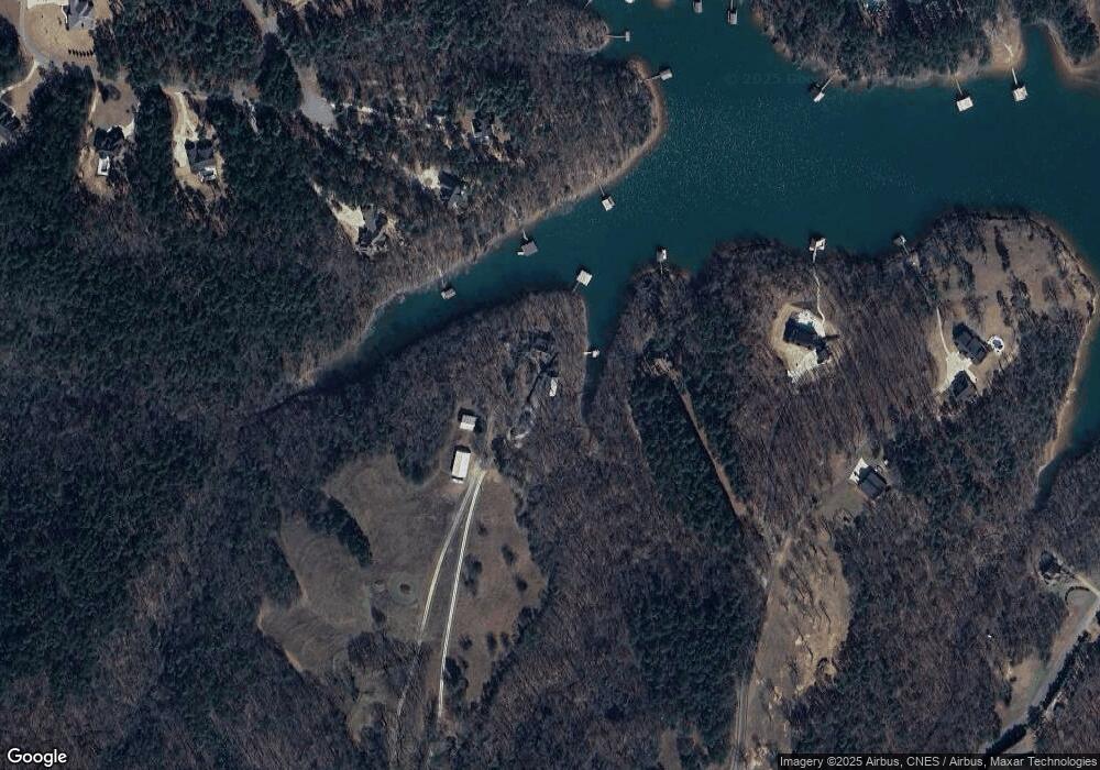
Map
Nearby Homes
- 2370 Anderson Hwy
- 30 Melody Farms Dr
- 840 Melody Point
- 132 Melody Point
- 0 Melody Point Unit 10393283
- 0 Anderson Hwy Unit 10544510
- 3078 Anderson Hwy
- 411 Old 29 Hwy
- 277 Rachel Ln
- 11 Rachel Ln
- Lot1 Powderbag Creek Rd
- Lot3 Powderbag Creek Rd
- Lot2 Powderbag Creek Rd
- 67 Wayne Cir
- 116 Joseph Ln
- 166 Rachel Ln
- 184 Rachel Ln
- LOT 9 Lake Pointe Rd
- LOT 7 Lake Pointe Rd
- Lot 12 S Pointe Dr
- 123 Plantation Dr
- 1123 Woodland Dr
- 1235 Woodland Dr
- 322 Norman Rd
- 756 Melody Point
- 770 Melody Point
- 97 Plantation Dr
- 165 Black Point Dr
- 686 Melody Point
- 416 Norman Rd
- 243 Rhodella Park Ave
- 244 Rhodella Park Ave
- 670 Melody Point
- 485 Norman Rd
- 211 Pine Acres Estate
- 324 Norman Rd
- 203 Rhodella Park Ave
- 211 Corrie Ln
- 7&6 Rhodella Park Ave
- 814 Melody Ln