260 N Crest Dr Port Clinton, OH 43452
Estimated Value: $427,364 - $579,000
3
Beds
2
Baths
2,320
Sq Ft
$211/Sq Ft
Est. Value
About This Home
This home is located at 260 N Crest Dr, Port Clinton, OH 43452 and is currently estimated at $488,591, approximately $210 per square foot. 260 N Crest Dr is a home located in Ottawa County with nearby schools including Bataan Memorial Primary School, Bataan Memorial Intermediate School, and Port Clinton Middle School.
Ownership History
Date
Name
Owned For
Owner Type
Purchase Details
Closed on
Dec 12, 2006
Sold by
Hawk Gary L and Hawk Rebecca A
Bought by
Hawk Gary L and Hawk Rebecca A
Current Estimated Value
Purchase Details
Closed on
Aug 14, 2000
Sold by
Latkovic Nicholas M
Bought by
Hawk Gary L and Hawk Rebecca
Home Financials for this Owner
Home Financials are based on the most recent Mortgage that was taken out on this home.
Original Mortgage
$144,000
Interest Rate
8.24%
Mortgage Type
New Conventional
Purchase Details
Closed on
Aug 1, 1994
Sold by
Ketch Dennis M
Bought by
Latkovic Rhonda S and Latkovic Nicholas
Home Financials for this Owner
Home Financials are based on the most recent Mortgage that was taken out on this home.
Original Mortgage
$137,500
Interest Rate
8.41%
Mortgage Type
New Conventional
Create a Home Valuation Report for This Property
The Home Valuation Report is an in-depth analysis detailing your home's value as well as a comparison with similar homes in the area
Home Values in the Area
Average Home Value in this Area
Purchase History
| Date | Buyer | Sale Price | Title Company |
|---|---|---|---|
| Hawk Gary L | -- | Attorney | |
| Hawk Gary L | $227,000 | -- | |
| Latkovic Rhonda S | $185,000 | -- |
Source: Public Records
Mortgage History
| Date | Status | Borrower | Loan Amount |
|---|---|---|---|
| Previous Owner | Hawk Gary L | $144,000 | |
| Previous Owner | Latkovic Rhonda S | $137,500 |
Source: Public Records
Tax History Compared to Growth
Tax History
| Year | Tax Paid | Tax Assessment Tax Assessment Total Assessment is a certain percentage of the fair market value that is determined by local assessors to be the total taxable value of land and additions on the property. | Land | Improvement |
|---|---|---|---|---|
| 2024 | $3,195 | $111,028 | $27,766 | $83,262 |
| 2023 | $3,195 | $80,514 | $18,508 | $62,006 |
| 2022 | $2,489 | $80,514 | $18,508 | $62,006 |
| 2021 | $2,485 | $80,520 | $18,510 | $62,010 |
| 2020 | $2,318 | $73,140 | $12,940 | $60,200 |
| 2019 | $2,293 | $73,140 | $12,940 | $60,200 |
| 2018 | $2,290 | $73,140 | $12,940 | $60,200 |
| 2017 | $2,392 | $75,050 | $12,940 | $62,110 |
| 2016 | $2,398 | $75,050 | $12,940 | $62,110 |
| 2015 | $2,408 | $75,050 | $12,940 | $62,110 |
| 2014 | $1,124 | $72,090 | $12,940 | $59,150 |
| 2013 | $2,253 | $72,090 | $12,940 | $59,150 |
Source: Public Records
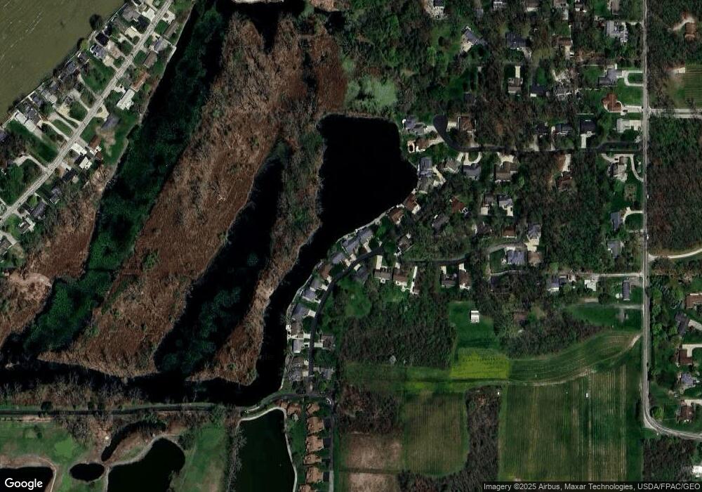
Map
Nearby Homes
- 3500 Woodhill Dr
- 146 N Harbors End Dr Unit 21A
- 3571 E Eagle Beach Cir
- 2817 E Harbor Rd
- 3638 E Rock Cliff Dr
- 3776 E Pine Dr
- 2656 E Harbor Rd Unit D-3
- 2656 E Harbor Rd Unit D-1
- 2656 E Harbor Rd Unit D-2
- 1217 NE Catawba Rd
- 1217 NE Catawba Rd Unit 15
- 1217 NE Catawba Rd Unit 13
- 1217 NE Catawba Rd Unit 14
- 1217 NE Catawba Rd Unit 16
- 4075 E Christopher Dr
- 3720 E Aqua Aire Dr Unit 138
- 2350 E Sand Rd
- 764 SE Catawba Rd Unit 115
- 270 N Crest Dr
- 250 N Crest Dr
- 280 N Crest Dr
- 240 N Crest Dr
- 245 N Crest Dr
- 3490 Woodhill Dr
- 230 N Crest Dr
- 3497 Woodhill Dr
- 290 N Crest Dr
- 3500 E Woodhill Rd
- 220 N Crest Dr
- 300 N Crest Dr
- 201 N Crest Dr
- 210 N Crest Dr
- 21 E Woodhill Rd
- 3541 E Woodhill Rd
- 3570 E Woodhill Rd
- 3540 E Woodhill Rd
- 3560 E Woodhill Rd
- 0 E Woodhill Rd