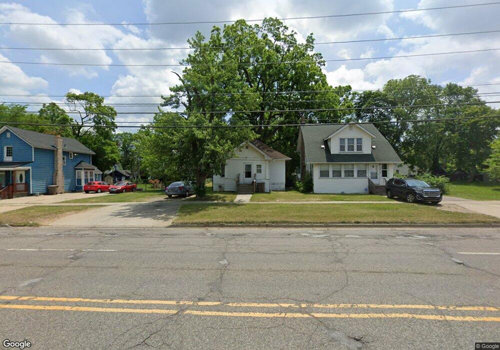
260 N Johnson St Pontiac, MI 48341
Estimated Value: $55,000 - $118,000
2
Beds
1
Bath
875
Sq Ft
$100/Sq Ft
Est. Value
About This Home
This home is located at 260 N Johnson St, Pontiac, MI 48341 and is currently estimated at $87,100, approximately $99 per square foot. 260 N Johnson St is a home located in Oakland County with nearby schools including Walt Whitman Elementary School, Pontiac Middle School, and Pontiac High School.
Ownership History
Date
Name
Owned For
Owner Type
Purchase Details
Closed on
Mar 11, 2019
Sold by
White Martin
Bought by
Jones Ronnie
Current Estimated Value
Purchase Details
Closed on
May 15, 2000
Sold by
White Martin
Bought by
260 North Johnson Land Tr
Purchase Details
Closed on
May 19, 1998
Sold by
Norma Stasiu
Bought by
White Martin
Home Financials for this Owner
Home Financials are based on the most recent Mortgage that was taken out on this home.
Original Mortgage
$22,000
Interest Rate
6.78%
Create a Home Valuation Report for This Property
The Home Valuation Report is an in-depth analysis detailing your home's value as well as a comparison with similar homes in the area
Home Values in the Area
Average Home Value in this Area
Purchase History
| Date | Buyer | Sale Price | Title Company |
|---|---|---|---|
| Jones Ronnie | $19,800 | None Available | |
| 260 North Johnson Land Tr | -- | -- | |
| White Martin | $27,500 | -- |
Source: Public Records
Mortgage History
| Date | Status | Borrower | Loan Amount |
|---|---|---|---|
| Previous Owner | White Martin | $22,000 |
Source: Public Records
Tax History Compared to Growth
Tax History
| Year | Tax Paid | Tax Assessment Tax Assessment Total Assessment is a certain percentage of the fair market value that is determined by local assessors to be the total taxable value of land and additions on the property. | Land | Improvement |
|---|---|---|---|---|
| 2024 | $927 | $22,770 | $0 | $0 |
| 2023 | $884 | $20,300 | $0 | $0 |
| 2022 | $916 | $18,050 | $0 | $0 |
| 2021 | $890 | $16,010 | $0 | $0 |
| 2020 | $804 | $14,640 | $0 | $0 |
| 2019 | $579 | $12,670 | $0 | $0 |
| 2018 | $549 | $10,830 | $0 | $0 |
| 2017 | $529 | $10,570 | $0 | $0 |
| 2016 | $2,214 | $9,900 | $0 | $0 |
| 2015 | -- | $9,690 | $0 | $0 |
| 2014 | -- | $9,160 | $0 | $0 |
| 2011 | -- | $12,850 | $0 | $0 |
Source: Public Records
Map
Nearby Homes
- 205 Florence St
- 391 Lake Shore Dr Unit 36
- 35 Liberty St
- 22 Cooley St
- 50 Henderson St
- 48 Florence St
- 321 Tom Ave Unit 70
- 88 Thorpe St
- 69 Lincoln St
- 72 Norton St
- 363 W Huron St
- 320 Cesar e Chavez Ave
- 272 Cesar e Chavez Ave
- 94 Dwight Ave
- 0 Baldwin Rd Unit 20251027987
- 0 Baldwin Ave Unit 20240055811
- 124 Henry Clay Ave
- 118 Henry Clay Ave
- 117 Murphy Ave
- 663 Lewa Downs Dr Unit 98
- 252 N Johnson St
- 264 N Johnson St
- 244 N Johnson St
- 46 James St
- 268 N Johnson St
- 274 N Johnson St
- 185 Augusta Ave
- 38 James St
- 57 James St
- 53 James St
- 179 Augusta Ave
- 226 N Johnson St
- 173 Augusta Ave
- 45 James St
- 34 James St
- 278 N Johnson St
- 28 James St
- 288 N Johnson St
- 167 Augusta Ave
- 220 N Johnson St