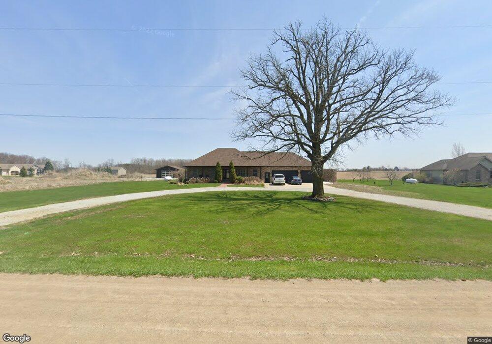
260 N Smith Rd Owosso, MI 48867
Estimated Value: $318,000 - $369,104
--
Bed
--
Bath
--
Sq Ft
1.3
Acres
About This Home
This home is located at 260 N Smith Rd, Owosso, MI 48867 and is currently estimated at $348,776. 260 N Smith Rd is a home located in Shiawassee County with nearby schools including Owosso High School, Spring Vale Christian School, and Salem Lutheran School.
Ownership History
Date
Name
Owned For
Owner Type
Purchase Details
Closed on
Aug 5, 2016
Sold by
Hall Doug R
Bought by
Stevens Kenneth R
Current Estimated Value
Home Financials for this Owner
Home Financials are based on the most recent Mortgage that was taken out on this home.
Original Mortgage
$214,051
Outstanding Balance
$170,324
Interest Rate
3.48%
Mortgage Type
New Conventional
Estimated Equity
$178,452
Purchase Details
Closed on
Dec 2, 2015
Sold by
Owosso Charter Township
Bought by
Shank Properties Llc
Purchase Details
Closed on
Oct 28, 2005
Sold by
Morel Ron L and Morel Michelle
Bought by
Etchison Ryan P
Home Financials for this Owner
Home Financials are based on the most recent Mortgage that was taken out on this home.
Original Mortgage
$24,000
Interest Rate
5.8%
Mortgage Type
Seller Take Back
Create a Home Valuation Report for This Property
The Home Valuation Report is an in-depth analysis detailing your home's value as well as a comparison with similar homes in the area
Home Values in the Area
Average Home Value in this Area
Purchase History
| Date | Buyer | Sale Price | Title Company |
|---|---|---|---|
| Stevens Kenneth R | $218,000 | -- | |
| Shank Properties Llc | $150,000 | -- | |
| Etchison Ryan P | $24,000 | Metropolitan Title Company |
Source: Public Records
Mortgage History
| Date | Status | Borrower | Loan Amount |
|---|---|---|---|
| Open | Stevens Kenneth R | $214,051 | |
| Previous Owner | Etchison Ryan P | $24,000 |
Source: Public Records
Tax History Compared to Growth
Tax History
| Year | Tax Paid | Tax Assessment Tax Assessment Total Assessment is a certain percentage of the fair market value that is determined by local assessors to be the total taxable value of land and additions on the property. | Land | Improvement |
|---|---|---|---|---|
| 2025 | $3,712 | $203,400 | $0 | $0 |
| 2024 | $3,787 | $197,100 | $0 | $0 |
| 2023 | $1,401 | $184,600 | $0 | $0 |
| 2022 | $1,334 | $167,000 | $0 | $0 |
| 2021 | $3,340 | $139,600 | $0 | $0 |
| 2020 | $3,335 | $134,700 | $0 | $0 |
| 2019 | $3,274 | $115,100 | $0 | $0 |
| 2018 | $3,311 | $115,900 | $0 | $0 |
| 2017 | $2,671 | $114,400 | $0 | $0 |
| 2016 | -- | $114,400 | $0 | $0 |
| 2015 | -- | $113,700 | $0 | $0 |
| 2014 | $11 | $108,400 | $0 | $0 |
Source: Public Records
Map
Nearby Homes
- 4600 W M 21
- 700 Nafus St
- 1408 W Main St
- 1701 W Stewart St
- 117 Elliot St
- 717 Nafus St
- 1406 Buckley Dr
- 1339 Olmstead St
- 911 Beehler St
- 817 S Chipman St
- Vacant W Oliver St
- 214 S Cedar St
- 1217 Hanover St
- 1104 Riverside Dr
- 1588 N Chipman Rd
- 206 N Howell St
- 707 W King St
- 618 Clinton St
- 1610 W South St
- V/L W South St