260 Ozark Ln Clayton, GA 30525
Estimated Value: $2,216,000 - $9,987,000
4
Beds
4
Baths
3,774
Sq Ft
$1,263/Sq Ft
Est. Value
About This Home
This home is located at 260 Ozark Ln, Clayton, GA 30525 and is currently estimated at $4,765,713, approximately $1,262 per square foot. 260 Ozark Ln is a home with nearby schools including Rabun County Primary School and Rabun County High School.
Ownership History
Date
Name
Owned For
Owner Type
Purchase Details
Closed on
Feb 28, 2025
Sold by
Dianne Scott Matthews Revocable Trust
Bought by
Xls Solutions Llc
Current Estimated Value
Purchase Details
Closed on
Oct 6, 2016
Sold by
Robert E
Bought by
Matthews Robert E and Matthews Dianne S
Purchase Details
Closed on
Jan 1, 2006
Sold by
Not Provided
Bought by
Matthews Robert E
Create a Home Valuation Report for This Property
The Home Valuation Report is an in-depth analysis detailing your home's value as well as a comparison with similar homes in the area
Home Values in the Area
Average Home Value in this Area
Purchase History
| Date | Buyer | Sale Price | Title Company |
|---|---|---|---|
| Xls Solutions Llc | -- | -- | |
| Xls Solutions Llc | -- | -- | |
| Matthews Dianne Scott | -- | -- | |
| Scott James C | -- | -- | |
| Matthews Robert E | -- | -- | |
| Matthews Robert E | -- | -- | |
| Matthews Robert E | $4,720,000 | -- | |
| Matthews Robert E | $4,720,000 | -- |
Source: Public Records
Tax History
| Year | Tax Paid | Tax Assessment Tax Assessment Total Assessment is a certain percentage of the fair market value that is determined by local assessors to be the total taxable value of land and additions on the property. | Land | Improvement |
|---|---|---|---|---|
| 2025 | $19,250 | $1,199,398 | $855,758 | $343,640 |
| 2024 | $18,921 | $1,178,898 | $855,758 | $323,140 |
| 2023 | $20,302 | $1,109,190 | $823,088 | $286,102 |
| 2022 | $20,084 | $1,097,293 | $823,088 | $274,205 |
| 2021 | $20,147 | $1,074,484 | $823,088 | $251,396 |
| 2020 | $20,759 | $1,070,282 | $823,088 | $247,194 |
| 2019 | $20,906 | $1,070,282 | $823,088 | $247,194 |
| 2018 | $20,982 | $1,070,282 | $823,088 | $247,194 |
| 2017 | $19,704 | $1,048,068 | $823,088 | $224,980 |
| 2016 | $19,758 | $1,048,068 | $823,088 | $224,980 |
| 2015 | $20,289 | $1,053,521 | $823,088 | $230,432 |
| 2014 | $20,396 | $1,053,521 | $823,088 | $230,432 |
Source: Public Records
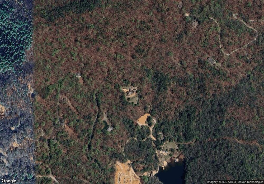
Map
Nearby Homes
- 0 Crows Nest Dr
- 171 High Pointe Dr
- 0 Hwy 197 Unit 10608906
- 123 Village Club Trail
- LOT 17 Waterfall Dr
- 876 Whitetail Trail
- L-3 High Pointe Dr Unit L-3
- A19 Winterberry Dr
- 177 Whitetail Trail
- 655 Bent Grass Way
- LOT44 Bent Grass Way
- LOT 12A Winterberry Trail
- A 7 Winterberry Trail
- 96 Fair View Dr
- 66 Andrews Ln
- 689 Waterfall Dr
- 608 Winterberry Trail
- J35 Bent Grass Way
- J-27 & J-28 Bent Grass Way Unit J-27 & J-28
- 188 Magnolia Place Trail
- 116 Ozark Ln
- 192 Top Mast Dr
- 0 Top Mast Dr Unit Lot 5A 8845167
- 98 Top Mast Dr
- 0 Crows Nest Ln Unit Lot 14 8845178
- 0 Crows Nest Ln Unit Lot 12 8845175
- 348 Ozark Ln
- 40 Top Mast Dr
- 685 Silverado Ln
- 521 Silverado Ln
- 8 Top Mast Dr
- 96 Main Mast Dr
- 692 Silverado Ln
- 86 Crows Nest Ln
- 55 Bristol Ln
- 95 Main Mast Dr
- 529 Blalock Goldmine Rd
- 83 Bristol Ln
- 0 Blalock Goldmine Rd Unit 4 8313284
- 0 Blalock Goldmine Rd Unit 3131690