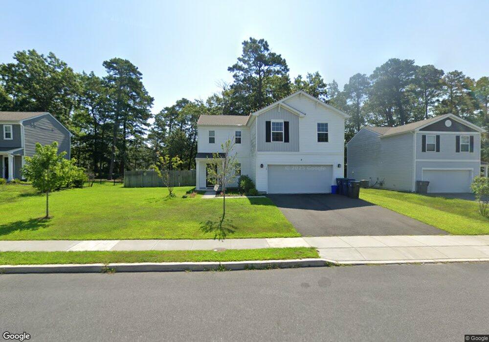
260 Pheasant Run Rd Mays Landing, NJ 08330
Estimated Value: $364,000 - $431,000
--
Bed
--
Bath
1,620
Sq Ft
$239/Sq Ft
Est. Value
About This Home
This home is located at 260 Pheasant Run Rd, Mays Landing, NJ 08330 and is currently estimated at $387,329, approximately $239 per square foot. 260 Pheasant Run Rd is a home with nearby schools including George L. Hess Educational Complex, Joseph Shaner School, and William Davies Middle School.
Ownership History
Date
Name
Owned For
Owner Type
Purchase Details
Closed on
May 18, 2012
Sold by
Baker Residential Of Pennsylvania Llc
Bought by
Espinosa Rivera Josue
Current Estimated Value
Home Financials for this Owner
Home Financials are based on the most recent Mortgage that was taken out on this home.
Original Mortgage
$206,448
Outstanding Balance
$143,773
Interest Rate
4.01%
Mortgage Type
New Conventional
Estimated Equity
$243,556
Create a Home Valuation Report for This Property
The Home Valuation Report is an in-depth analysis detailing your home's value as well as a comparison with similar homes in the area
Home Values in the Area
Average Home Value in this Area
Purchase History
| Date | Buyer | Sale Price | Title Company |
|---|---|---|---|
| Espinosa Rivera Josue | $202,230 | Commonwealth Land Title Co |
Source: Public Records
Mortgage History
| Date | Status | Borrower | Loan Amount |
|---|---|---|---|
| Open | Espinosa Rivera Josue | $206,448 |
Source: Public Records
Tax History Compared to Growth
Tax History
| Year | Tax Paid | Tax Assessment Tax Assessment Total Assessment is a certain percentage of the fair market value that is determined by local assessors to be the total taxable value of land and additions on the property. | Land | Improvement |
|---|---|---|---|---|
| 2025 | $6,395 | $186,400 | $42,200 | $144,200 |
| 2024 | $6,395 | $186,400 | $42,200 | $144,200 |
| 2023 | $6,013 | $186,400 | $42,200 | $144,200 |
| 2022 | $6,013 | $186,400 | $42,200 | $144,200 |
| 2021 | $6,000 | $186,400 | $42,200 | $144,200 |
| 2020 | $6,000 | $186,400 | $42,200 | $144,200 |
| 2019 | $6,015 | $186,400 | $42,200 | $144,200 |
| 2018 | $5,805 | $186,400 | $42,200 | $144,200 |
| 2017 | $5,713 | $186,400 | $42,200 | $144,200 |
| 2016 | $5,553 | $186,400 | $42,200 | $144,200 |
| 2015 | $5,365 | $186,400 | $42,200 | $144,200 |
| 2014 | $5,280 | $201,000 | $47,200 | $153,800 |
Source: Public Records
Map
Nearby Homes
- 103 Galleria Dr
- 3 Pin Oak Dr
- 20 Knollwood Dr Unit 20
- 72 Knollwood Dr
- 3 Knollwood Dr
- 35 Knollwood Dr
- 131 Aberdeen Ct Unit 131
- 218 Burning Tree Ct
- 68 Northridge Dr
- 277 Greenbriar Ct
- 209 Burning Tree Ct
- 154 Muirfield Ct
- 156 Muirfield Ct
- 197 Pebble Beach Dr Unit 197
- 165 Turnberry Ct
- 172 Turnberry Ct
- 3 Atlas Lane Rd
- 200 Booker Ave
- 182 Pebble Beach Dr
- 6035 W Jersey Ave
- 262 Pheasant Run Rd
- 258 Pheasant Run Rd
- 18 Pin Oak Dr
- 264 Pheasant Run Rd
- 256 Pheasant Run Rd
- 266 Pheasant Run Rd
- 242 Pheasant Run Rd
- 244 Pheasant Run Rd
- 240 Pheasant Run Rd
- 254 Pheasant Run Rd
- 238 Pheasant Run Rd
- 268 Pheasant Run Rd
- 246 Pheasant Run Rd
- 236 Pheasant Run Rd
- 252 Pheasant Run Rd
- 248 Pheasant Run Rd
- 250 Pheasant Run Rd
- 270 Pheasant Run Rd
- 234 Pheasant Run Rd
- 286 Deerfield Dr