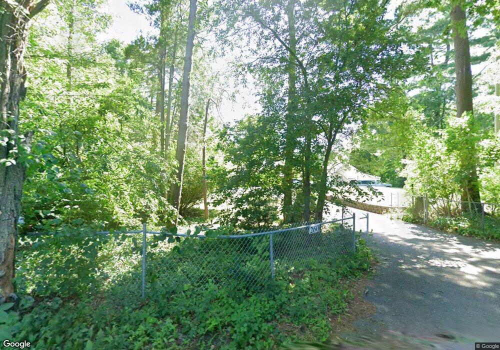
260 Plain St Mansfield, MA 02048
Estimated Value: $653,000 - $819,000
2
Beds
2
Baths
2,474
Sq Ft
$298/Sq Ft
Est. Value
About This Home
This home is located at 260 Plain St, Mansfield, MA 02048 and is currently estimated at $738,127, approximately $298 per square foot. 260 Plain St is a home located in Bristol County with nearby schools including Everett W. Robinson Elementary School, Jordan/Jackson Elementary School, and Harold L. Qualters Middle School.
Ownership History
Date
Name
Owned For
Owner Type
Purchase Details
Closed on
Mar 30, 2021
Sold by
Goyea Joseph R and Goyca Sally A
Bought by
Joseph R Goyea Ret
Current Estimated Value
Purchase Details
Closed on
Jun 2, 2006
Sold by
Exchang Goyea Reverse
Bought by
Goyea Joseph R and Goyea Sally A
Purchase Details
Closed on
Jan 20, 2006
Sold by
Oldham John J and Oldham Sandra J
Bought by
Exchang Goyea Reverse
Create a Home Valuation Report for This Property
The Home Valuation Report is an in-depth analysis detailing your home's value as well as a comparison with similar homes in the area
Home Values in the Area
Average Home Value in this Area
Purchase History
| Date | Buyer | Sale Price | Title Company |
|---|---|---|---|
| Joseph R Goyea Ret | -- | None Available | |
| Goyea Joseph R | $565,000 | -- | |
| Exchang Goyea Reverse | $565,000 | -- |
Source: Public Records
Tax History
| Year | Tax Paid | Tax Assessment Tax Assessment Total Assessment is a certain percentage of the fair market value that is determined by local assessors to be the total taxable value of land and additions on the property. | Land | Improvement |
|---|---|---|---|---|
| 2025 | $8,850 | $672,000 | $275,700 | $396,300 |
| 2024 | $8,813 | $652,800 | $275,700 | $377,100 |
| 2023 | $8,541 | $606,200 | $275,700 | $330,500 |
| 2022 | $8,216 | $541,600 | $255,200 | $286,400 |
| 2021 | $3,919 | $516,400 | $214,000 | $302,400 |
| 2020 | $3,806 | $498,200 | $203,800 | $294,400 |
| 2019 | $3,721 | $498,200 | $192,000 | $306,200 |
| 2018 | $3,494 | $483,700 | $183,000 | $300,700 |
| 2017 | $7,062 | $470,200 | $177,700 | $292,500 |
| 2016 | $6,820 | $442,600 | $169,200 | $273,400 |
| 2015 | $6,646 | $428,800 | $169,200 | $259,600 |
Source: Public Records
Map
Nearby Homes
- 24 Maverick Dr
- 25 Munroe Dr
- 25 Shepherd St
- 150 Gilbert St
- 84 Messenger St
- 9 Coach Rd
- 57 Vine St
- 115 Westfield Dr
- 128 Tremont St
- 33 Colonial Way
- 17 Childs Ln
- 28 Messenger St
- Lot 5 Jeffrey Dr
- 40 Treasure Island Rd
- 14 Claire Ave
- Lot 2 Jeffrey Dr
- 16 Treasure Island Rd
- 49 Pheasant Hill Rd
- 12 Houde St
- 46 Mirimichi St
Your Personal Tour Guide
Ask me questions while you tour the home.