260 Private Road 2219 Decatur, TX 76234
Estimated Value: $303,439 - $965,000
--
Bed
2
Baths
1,829
Sq Ft
$280/Sq Ft
Est. Value
About This Home
This home is located at 260 Private Road 2219, Decatur, TX 76234 and is currently estimated at $512,110, approximately $279 per square foot. 260 Private Road 2219 is a home located in Wise County with nearby schools including Decatur High School and Victory Christian Academy.
Ownership History
Date
Name
Owned For
Owner Type
Purchase Details
Closed on
Jul 11, 2006
Sold by
Wilson Robert M and Wilson Raynette
Bought by
Lindberg Reginald and Lindberg Donna
Current Estimated Value
Purchase Details
Closed on
Dec 5, 1997
Bought by
Lindberg Reginald and Lindberg Donna
Purchase Details
Closed on
Jan 31, 1997
Bought by
Lindberg Reginald and Lindberg Donna
Purchase Details
Closed on
Aug 23, 1996
Bought by
Lindberg Reginald and Lindberg Donna
Purchase Details
Closed on
Jan 1, 1901
Bought by
Lindberg Reginald and Lindberg Donna
Create a Home Valuation Report for This Property
The Home Valuation Report is an in-depth analysis detailing your home's value as well as a comparison with similar homes in the area
Home Values in the Area
Average Home Value in this Area
Purchase History
| Date | Buyer | Sale Price | Title Company |
|---|---|---|---|
| Lindberg Reginald | -- | -- | |
| Lindberg Reginald | -- | -- | |
| Lindberg Reginald | -- | -- | |
| Lindberg Reginald | -- | -- | |
| Lindberg Reginald | -- | -- |
Source: Public Records
Tax History Compared to Growth
Tax History
| Year | Tax Paid | Tax Assessment Tax Assessment Total Assessment is a certain percentage of the fair market value that is determined by local assessors to be the total taxable value of land and additions on the property. | Land | Improvement |
|---|---|---|---|---|
| 2025 | $271 | $219,773 | -- | -- |
| 2024 | $271 | $199,794 | $0 | $0 |
| 2023 | $2,194 | $181,631 | $0 | $0 |
| 2022 | $2,534 | $165,119 | $0 | $0 |
| 2021 | $2,406 | $150,110 | $15,500 | $134,610 |
| 2020 | $2,282 | $141,470 | $12,500 | $128,970 |
| 2019 | $2,369 | $137,840 | $12,370 | $125,470 |
| 2018 | $2,356 | $132,720 | $9,870 | $122,850 |
| 2017 | $2,145 | $120,850 | $8,250 | $112,600 |
| 2016 | $1,990 | $115,100 | $7,690 | $107,410 |
| 2015 | -- | $102,500 | $7,120 | $95,380 |
| 2014 | -- | $103,100 | $6,620 | $96,480 |
Source: Public Records
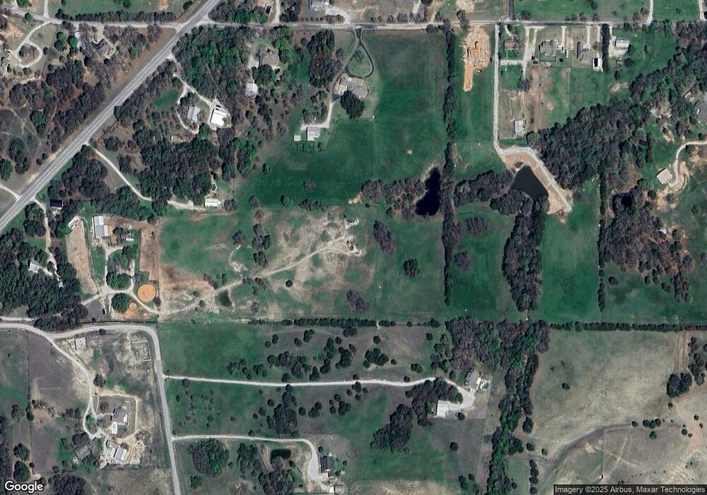
Map
Nearby Homes
- TBD E Hwy 380 Hwy
- Lot 12 Cedar Springs Estates
- 362 Decatur Cemetery Rd
- 2811 N Trinity St
- 3092 N Trinity St
- 307 E Vernon St
- 114 Sondra Lin Blvd
- 903 N Miller St
- 602 N Cates St
- 802 N Church St
- 130 Nicholas Way
- 700 N Church St
- 506 E Main St
- 1952 Old Decatur Rd
- TBD Farm To Market 51
- 304 Cyndilu Ln
- 305 E Shoemaker St
- 1 S Martin Extension
- 407 N Lane St
- 604 E Collins St
- 1946 N Fm 51
- 1946 N Fm 51
- 1903 N Fm 51
- 0 S Fm 51 Unit 20392889
- 0 S Fm 51 Unit 11203506
- 1960 N Fm 51
- 1923 N Fm 51
- Lot 1 Pr 2218
- 249 Pr-2218
- 1990 N Fm 51
- 2491 County Road 2224
- 115 County Road 2112
- 1893 N Fm 51
- 2519 County Road 2224
- 110 Pr 2218
- 170 County Road 2112
- 1846 N Fm 51
- 1846 N Fm 51
- 1891 N Fm 51
- 1894 N Fm 51