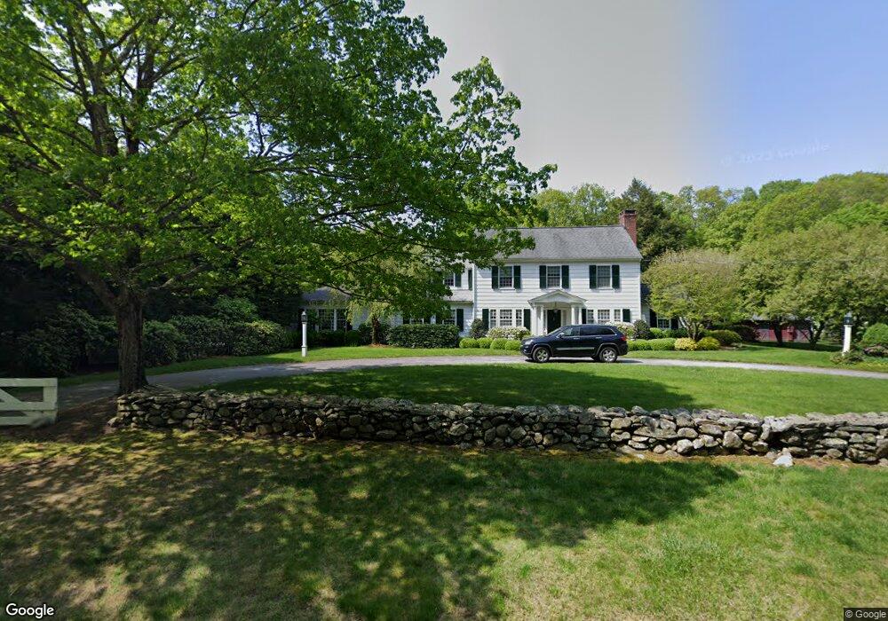
260 Redding Rd Easton, CT 06612
Estimated Value: $1,399,811 - $2,109,000
5
Beds
5
Baths
4,885
Sq Ft
$351/Sq Ft
Est. Value
About This Home
This home is located at 260 Redding Rd, Easton, CT 06612 and is currently estimated at $1,714,953, approximately $351 per square foot. 260 Redding Rd is a home located in Fairfield County with nearby schools including Samuel Staples Elementary School, Helen Keller Middle School, and Joel Barlow High School.
Ownership History
Date
Name
Owned For
Owner Type
Purchase Details
Closed on
Sep 1, 1987
Sold by
Donaghy Donna
Bought by
Bergschneider Marc C
Current Estimated Value
Create a Home Valuation Report for This Property
The Home Valuation Report is an in-depth analysis detailing your home's value as well as a comparison with similar homes in the area
Home Values in the Area
Average Home Value in this Area
Purchase History
| Date | Buyer | Sale Price | Title Company |
|---|---|---|---|
| Bergschneider Marc C | $890,000 | -- |
Source: Public Records
Mortgage History
| Date | Status | Borrower | Loan Amount |
|---|---|---|---|
| Open | Bergschneider Marc C | $800,000 | |
| Closed | Bergschneider Marc C | $300,000 | |
| Closed | Bergschneider Marc C | $280,000 | |
| Closed | Bergschneider Marc C | $850,000 |
Source: Public Records
Tax History
| Year | Tax Paid | Tax Assessment Tax Assessment Total Assessment is a certain percentage of the fair market value that is determined by local assessors to be the total taxable value of land and additions on the property. | Land | Improvement |
|---|---|---|---|---|
| 2025 | $23,262 | $750,400 | $211,960 | $538,440 |
| 2024 | $22,167 | $750,400 | $211,960 | $538,440 |
| 2023 | $21,732 | $750,400 | $211,960 | $538,440 |
| 2022 | $21,341 | $750,400 | $211,960 | $538,440 |
| 2021 | $21,468 | $663,610 | $264,450 | $399,160 |
| 2020 | $20,572 | $663,610 | $264,450 | $399,160 |
| 2019 | $20,791 | $663,610 | $264,450 | $399,160 |
| 2018 | $20,824 | $663,610 | $264,450 | $399,160 |
| 2017 | $22,151 | $663,610 | $264,450 | $399,160 |
| 2016 | $21,880 | $710,160 | $334,450 | $375,710 |
| 2015 | $21,575 | $710,160 | $334,450 | $375,710 |
| 2014 | $21,234 | $710,160 | $334,450 | $375,710 |
Source: Public Records
Map
Nearby Homes
- 140 Mile Common Rd
- 14 Codfish Ln
- 11 Judges Hollow Rd
- 85-95 Old Easton Turnpike
- 5 Stonehenge Rd
- 200 Long Meadow Rd
- 1375 Westport Turnpike
- 180 Catamount Rd
- 43 Blueberry Hill Rd
- 10 Pheasant Hill Rd
- 158 Coventry Ln
- 677 Eleven O Clock Rd
- 4800 Congress St
- 22 Brett Rd
- 274 Lyons Plain Rd
- 4 Colony Rd
- 51 Wilson Rd
- 198 Steep Hill Rd
- 39 Tannery Ln S
- 475 Fence Row Dr
- 260 Redding Rd
- 260 Redding Rd
- 239 Redding Rd
- 257 Redding Rd
- 245 Redding Rd
- 235 Redding Rd Unit 239
- 11 West Rd
- 269 Redding Rd
- 232 Redding Rd
- 280 Redding Rd
- 280 Redding Rd Unit REAR
- 215 Redding Rd
- 215 Redding Rd
- 150 Mile Common Rd
- 150 Mile Common Rd Unit ROAD
- 30 West Rd
- 226 Redding Rd
- 25 Mills Ln
- 270 Redding Rd
Your Personal Tour Guide
Ask me questions while you tour the home.