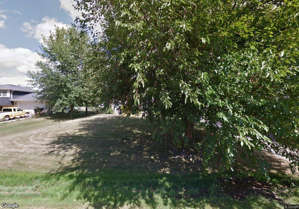
260 S Anderson Rd Unit 3 New Lenox, IL 60451
Estimated Value: $355,000 - $470,000
--
Bed
--
Bath
--
Sq Ft
0.47
Acres
About This Home
This home is located at 260 S Anderson Rd Unit 3, New Lenox, IL 60451 and is currently estimated at $402,533. 260 S Anderson Rd Unit 3 is a home located in Will County with nearby schools including Bentley Elementary School, Arnold J Tyler School, and Alex M Martino Jr High School.
Ownership History
Date
Name
Owned For
Owner Type
Purchase Details
Closed on
Nov 6, 1995
Sold by
Jones Wesley R and Jones Arlene A
Bought by
Harmon Mark D and Harmon Kathleen A
Current Estimated Value
Home Financials for this Owner
Home Financials are based on the most recent Mortgage that was taken out on this home.
Original Mortgage
$102,000
Outstanding Balance
$1,434
Interest Rate
7.65%
Estimated Equity
$401,099
Create a Home Valuation Report for This Property
The Home Valuation Report is an in-depth analysis detailing your home's value as well as a comparison with similar homes in the area
Home Values in the Area
Average Home Value in this Area
Purchase History
| Date | Buyer | Sale Price | Title Company |
|---|---|---|---|
| Harmon Mark D | $142,000 | -- |
Source: Public Records
Mortgage History
| Date | Status | Borrower | Loan Amount |
|---|---|---|---|
| Open | Harmon Mark D | $102,000 |
Source: Public Records
Tax History Compared to Growth
Tax History
| Year | Tax Paid | Tax Assessment Tax Assessment Total Assessment is a certain percentage of the fair market value that is determined by local assessors to be the total taxable value of land and additions on the property. | Land | Improvement |
|---|---|---|---|---|
| 2024 | $8,008 | $110,347 | $33,966 | $76,381 |
| 2023 | $8,008 | $100,590 | $30,963 | $69,627 |
| 2022 | $7,229 | $92,667 | $28,524 | $64,143 |
| 2021 | $6,858 | $87,150 | $26,826 | $60,324 |
| 2020 | $6,657 | $84,041 | $25,869 | $58,172 |
| 2019 | $6,364 | $81,435 | $25,067 | $56,368 |
| 2018 | $6,212 | $78,628 | $24,203 | $54,425 |
| 2017 | $5,893 | $76,367 | $23,507 | $52,860 |
| 2016 | $5,717 | $74,323 | $22,878 | $51,445 |
| 2015 | $5,530 | $71,984 | $22,158 | $49,826 |
| 2014 | $5,530 | $71,095 | $21,884 | $49,211 |
| 2013 | $5,530 | $72,053 | $22,179 | $49,874 |
Source: Public Records
Map
Nearby Homes
- 709 Garadice Dr
- 214 Somerset Ct
- 1535 Glenbrooke Ln
- 513 Somerset Ln
- 449 Somerset Ln Unit 1
- 701 Bishops Gate
- 1351 E Lincoln Hwy
- 125 N Anderson Rd
- 641 Lisson Grove
- 1017 E Lincoln Hwy
- 920 Barnside Rd
- 203 Tonell Ave
- 1212 Georgias Way
- 1245 Georgias Way
- 1193 Georgias Way
- 1139 Georgias Way
- 235 Roberts Rd
- 1125 Georgias Way
- 651 Schooner Dr
- 621 Chatfield Rd
- 256 S Anderson Rd
- 264 S Anderson Rd
- 911 E Joliet Hwy
- 912 Melrose St
- 252 S Anderson Rd
- 917 E Joliet Hwy
- 908 E Joliet Hwy
- 261 S Anderson Rd
- 916 Melrose St
- 265 S Anderson Rd
- 840 Melrose St
- 919 E Joliet Hwy
- 912 E Joliet Hwy
- 248 S Anderson Rd
- 272 S Anderson Rd
- 920 Melrose St
- 271 S Anderson Rd
- 916 E Joliet Hwy
- 837 E Joliet Hwy
- 913 Melrose St
