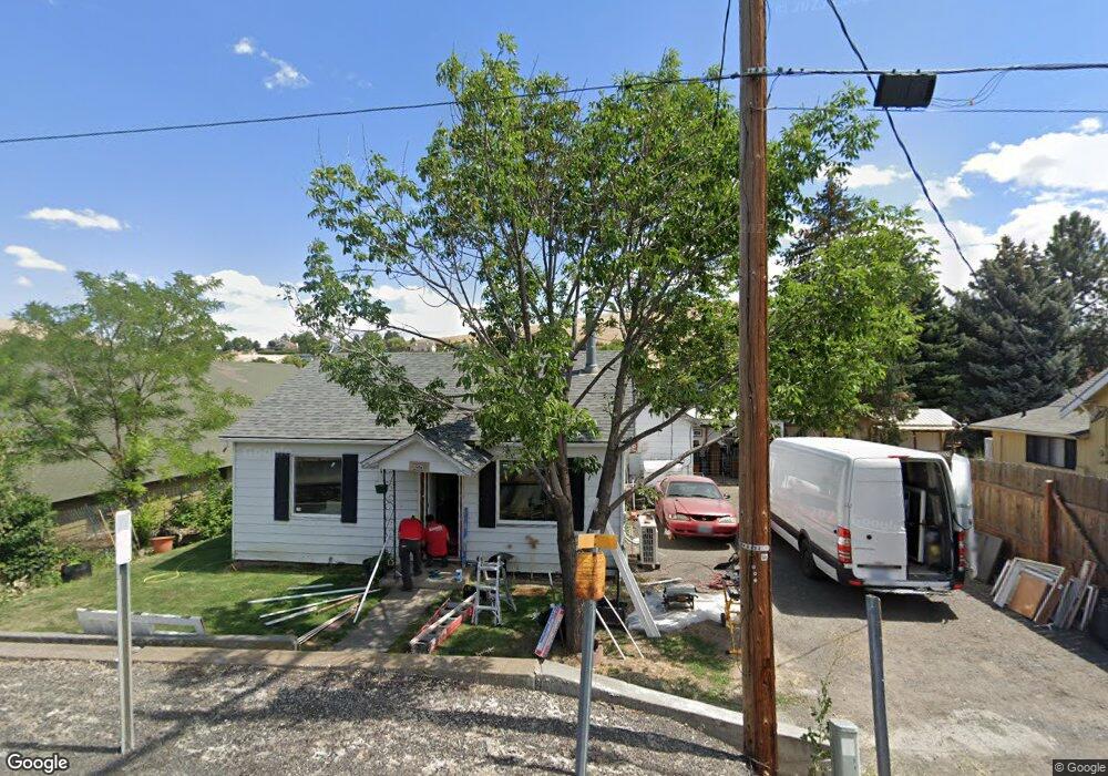
260 S Main St Heppner, OR 97836
Estimated Value: $190,000 - $193,844
2
Beds
1
Bath
1,953
Sq Ft
$98/Sq Ft
Est. Value
About This Home
This home is located at 260 S Main St, Heppner, OR 97836 and is currently estimated at $191,922, approximately $98 per square foot. 260 S Main St is a home located in Morrow County with nearby schools including Heppner Elementary School and Heppner Junior/Senior High School.
Ownership History
Date
Name
Owned For
Owner Type
Purchase Details
Closed on
Apr 1, 2024
Sold by
Lynch Michael D
Bought by
Lynch Michael D and Evans Deborah
Current Estimated Value
Home Financials for this Owner
Home Financials are based on the most recent Mortgage that was taken out on this home.
Original Mortgage
$214,500
Outstanding Balance
$179,518
Interest Rate
6.94%
Mortgage Type
Reverse Mortgage Home Equity Conversion Mortgage
Estimated Equity
$12,404
Purchase Details
Closed on
Apr 20, 2010
Sold by
Bendixsen Kurt C
Bought by
Lynch Michael D and Lynch Kathleen Mar
Create a Home Valuation Report for This Property
The Home Valuation Report is an in-depth analysis detailing your home's value as well as a comparison with similar homes in the area
Purchase History
| Date | Buyer | Sale Price | Title Company |
|---|---|---|---|
| Lynch Michael D | -- | None Listed On Document | |
| Lynch Michael D | -- | -- |
Source: Public Records
Mortgage History
| Date | Status | Borrower | Loan Amount |
|---|---|---|---|
| Open | Lynch Michael D | $214,500 | |
| Closed | Lynch Michael D | $214,500 |
Source: Public Records
Tax History
| Year | Tax Paid | Tax Assessment Tax Assessment Total Assessment is a certain percentage of the fair market value that is determined by local assessors to be the total taxable value of land and additions on the property. | Land | Improvement |
|---|---|---|---|---|
| 2025 | $1,638 | $60,860 | -- | -- |
| 2024 | $1,420 | $59,090 | -- | -- |
| 2023 | $1,380 | $57,370 | $0 | $0 |
| 2022 | $1,301 | $55,700 | $0 | $0 |
| 2021 | $1,257 | $54,080 | $0 | $0 |
| 2020 | $1,254 | $54,080 | $0 | $0 |
| 2019 | $1,190 | $52,510 | $0 | $0 |
Source: Public Records
Map
Nearby Homes
- 220 E Cannon St
- 140 S Chase St
- 120 N Gilmore St
- 310 N Chase St
- 300 N Chase St
- 240 N Court St
- 235 Rock St
- 260 W Center St
- 315 N Gale St
- 280 W Center St
- 615 Hager St
- 175 W Baltimore St
- 680 S Alfalfa St
- 280 Water St
- 875 Lakeview Ct
- 440 W Riverside St
- 387 E Linden Way
- 61476 Dee Cox Rd
- 60111 Stock Drive Rd
- 110 N Gilmore St
Your Personal Tour Guide
Ask me questions while you tour the home.