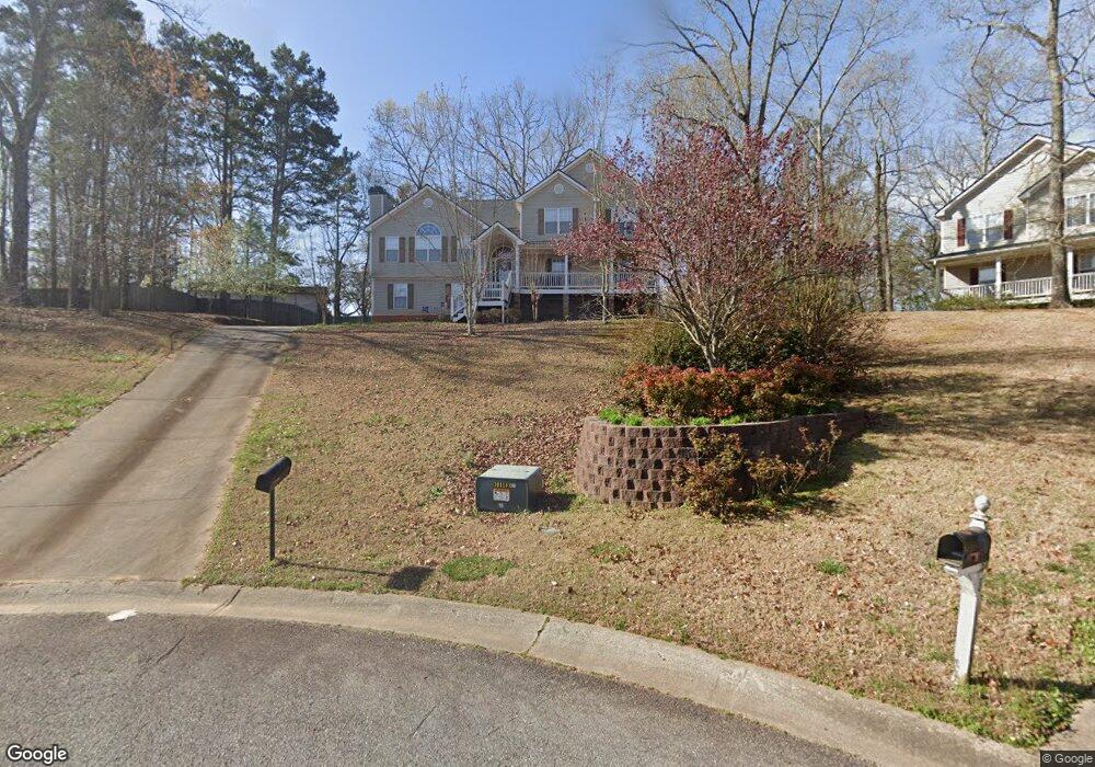
260 Sable Trace Dr Acworth, GA 30102
Oak Grove NeighborhoodEstimated Value: $434,654 - $439,000
4
Beds
3
Baths
2,607
Sq Ft
$168/Sq Ft
Est. Value
About This Home
This home is located at 260 Sable Trace Dr, Acworth, GA 30102 and is currently estimated at $436,827, approximately $167 per square foot. 260 Sable Trace Dr is a home located in Cherokee County with nearby schools including Oak Grove Elementary School, E. T. Booth Middle School, and Etowah High School.
Ownership History
Date
Name
Owned For
Owner Type
Purchase Details
Closed on
Jun 14, 2002
Sold by
David Hunt Construction Inc
Bought by
Christian Kenneth S and Christian Erin
Current Estimated Value
Home Financials for this Owner
Home Financials are based on the most recent Mortgage that was taken out on this home.
Original Mortgage
$164,450
Outstanding Balance
$68,659
Interest Rate
6.77%
Mortgage Type
New Conventional
Estimated Equity
$368,168
Create a Home Valuation Report for This Property
The Home Valuation Report is an in-depth analysis detailing your home's value as well as a comparison with similar homes in the area
Home Values in the Area
Average Home Value in this Area
Purchase History
| Date | Buyer | Sale Price | Title Company |
|---|---|---|---|
| Christian Kenneth S | $193,500 | -- |
Source: Public Records
Mortgage History
| Date | Status | Borrower | Loan Amount |
|---|---|---|---|
| Open | Christian Kenneth S | $164,450 |
Source: Public Records
Tax History
| Year | Tax Paid | Tax Assessment Tax Assessment Total Assessment is a certain percentage of the fair market value that is determined by local assessors to be the total taxable value of land and additions on the property. | Land | Improvement |
|---|---|---|---|---|
| 2025 | $1,393 | $170,720 | $34,000 | $136,720 |
| 2024 | $4,462 | $171,720 | $34,000 | $137,720 |
| 2023 | $4,528 | $174,240 | $34,000 | $140,240 |
| 2022 | $3,597 | $136,840 | $32,000 | $104,840 |
| 2021 | $3,162 | $111,400 | $24,000 | $87,400 |
| 2020 | $2,959 | $104,120 | $22,000 | $82,120 |
| 2019 | $2,781 | $97,880 | $22,000 | $75,880 |
| 2018 | $2,517 | $88,040 | $19,200 | $68,840 |
| 2017 | $2,503 | $217,200 | $19,200 | $67,680 |
| 2016 | $2,275 | $195,400 | $19,200 | $58,960 |
| 2015 | $2,050 | $174,300 | $15,200 | $54,520 |
| 2014 | $2,008 | $170,400 | $13,000 | $55,160 |
Source: Public Records
Map
Nearby Homes
- 585 Lee Dr
- 1856 W Elmwood Dr
- 5753 Oak Grove Dr
- 423 Royal Oak Dr
- 140 Bryon Ln
- 6390 Woodstock Rd
- 178 Bryon Ln
- 170 Sable Trace Trail
- 422 Royal Oak Dr
- 252 Oak Grove Way
- 159 Oak Grove Place
- 1768 Balsa Ln
- 127 Sable Valley Dr
- 204 Queensbury Ct
- 736 Coventry Cove Way
- 307 Queensbury Walk
- 740 Coventry Cove Way
- 744 Coventry Cove Way
- 4915 Highway 92
- 321 Brighton Bend Ln
- 258 Sable Trace Dr
- 253 Sable Trace Dr
- 1756 W Elmwood Dr
- 256 Sable Trace Dr
- 1754 W Elmwood Dr
- 254 Sable Trace Dr
- 1760 W Elmwood Dr
- 402 Sable Trace Cove
- 301 Sable Trace Pass
- 252 Sable Trace Dr
- 1772 W Elmwood Dr
- 1759 W Elmwood Dr
- 247 Sable Trace Dr
- 250 Sable Trace Dr
- 404 Sable Trace Cove
- 1757 W Elmwood Dr
- 303 Sable Trace Pass
- 1784 W Elmwood Dr
- 1750 W Elmwood Dr
- 245 Sable Trace Dr
Your Personal Tour Guide
Ask me questions while you tour the home.