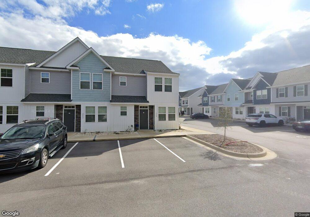
260 Sandy Cove Ln Sneads Ferry, NC 28460
Estimated Value: $282,790 - $311,000
3
Beds
4
Baths
1,661
Sq Ft
$178/Sq Ft
Est. Value
About This Home
This home is located at 260 Sandy Cove Ln, Sneads Ferry, NC 28460 and is currently estimated at $295,198, approximately $177 per square foot. 260 Sandy Cove Ln is a home located in Onslow County with nearby schools including Dixon Elementary School, Coastal Elementary, and Dixon High School.
Ownership History
Date
Name
Owned For
Owner Type
Purchase Details
Closed on
Jan 18, 2023
Sold by
Deep Sea 2021 Dst Trust
Bought by
Patricia A Degrand Revocable Trust
Current Estimated Value
Create a Home Valuation Report for This Property
The Home Valuation Report is an in-depth analysis detailing your home's value as well as a comparison with similar homes in the area
Home Values in the Area
Average Home Value in this Area
Purchase History
| Date | Buyer | Sale Price | Title Company |
|---|---|---|---|
| Patricia A Degrand Revocable Trust | $265,500 | -- | |
| Deep Sea 2021 Dst Trust | -- | -- |
Source: Public Records
Tax History Compared to Growth
Tax History
| Year | Tax Paid | Tax Assessment Tax Assessment Total Assessment is a certain percentage of the fair market value that is determined by local assessors to be the total taxable value of land and additions on the property. | Land | Improvement |
|---|---|---|---|---|
| 2025 | $1,364 | $208,293 | $34,000 | $174,293 |
| 2024 | $1,364 | $208,293 | $34,000 | $174,293 |
| 2023 | $965 | $147,290 | $34,000 | $113,290 |
| 2022 | $0 | $0 | $0 | $0 |
Source: Public Records
Map
Nearby Homes
- 326 Starfish Ln
- 226 Sandy Cove Ln
- 216 Sandy Cove Ln
- 214 Sandy Cove Ln
- 208 Sandy Cove Ln
- 202 Sandy Cove Ln
- 231 Sandy Cove Ln
- 229 Sandy Cove Ln
- 227 Sandy Cove Ln
- 221 Sandy Cove Ln
- 219 Sandy Cove Ln
- 217 Sandy Cove Ln
- 215 Sandy Cove Ln
- 213 Sandy Cove Ln
- 307 Pebble Shore Dr
- 104 Long Pond Dr
- 917 Old Folkstone Rd
- 306 Long Pond Dr
- 607 Coral Reef Ct
- 163 Old Millstone Landing Ln
- 262 Sandy Cove Ln
- 264 Sandy Cove Ln
- 601 Windsurfing Ln
- 431 Sunfish Ln
- 605 Windsurfing Ln
- 611 Windsurfing Ln
- 423 Sunfish Ln
- 419 Sunfish Ln
- 334 Starfish Ln
- 600 Windsurfing Ln
- 324 Starfish Ln
- 415 Sunfish Ln
- 606 Windsurfing Ln
- 413 Sunfish Ln
- 318 Starfish Ln
- 316 Starfish Ln
- 411 Sunfish Ln
- 314 Starfish Ln
- 409 Sunfish Ln
- 335 Starfish Ln