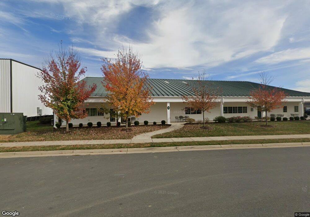
260 Shepardstown Ct Purcellville, VA 20132
--
Bed
--
Bath
9,673
Sq Ft
1.02
Acres
About This Home
This home is located at 260 Shepardstown Ct, Purcellville, VA 20132. 260 Shepardstown Ct is a home located in Loudoun County with nearby schools including Mountain View Elementary School, Woodgrove High School, and Harmony Middle School.
Ownership History
Date
Name
Owned For
Owner Type
Purchase Details
Closed on
Mar 13, 2017
Sold by
Brookfield Autumn Hill Llc A Virginia Li
Bought by
Brva Llc A Virginia Limited Liability Co
Home Financials for this Owner
Home Financials are based on the most recent Mortgage that was taken out on this home.
Original Mortgage
$2,000,000
Outstanding Balance
$1,659,428
Interest Rate
4.19%
Mortgage Type
Credit Line Revolving
Create a Home Valuation Report for This Property
The Home Valuation Report is an in-depth analysis detailing your home's value as well as a comparison with similar homes in the area
Home Values in the Area
Average Home Value in this Area
Purchase History
| Date | Buyer | Sale Price | Title Company |
|---|---|---|---|
| Brva Llc A Virginia Limited Liability Co | $485,000 | Attorney |
Source: Public Records
Mortgage History
| Date | Status | Borrower | Loan Amount |
|---|---|---|---|
| Open | Brva Llc A Virginia Limited Liability Co | $2,000,000 |
Source: Public Records
Tax History Compared to Growth
Tax History
| Year | Tax Paid | Tax Assessment Tax Assessment Total Assessment is a certain percentage of the fair market value that is determined by local assessors to be the total taxable value of land and additions on the property. | Land | Improvement |
|---|---|---|---|---|
| 2025 | $18,809 | $2,252,580 | $488,700 | $1,763,880 |
| 2024 | $19,952 | $2,229,280 | $488,700 | $1,740,580 |
| 2023 | $19,579 | $2,237,630 | $466,500 | $1,771,130 |
| 2022 | $18,367 | $2,063,670 | $466,500 | $1,597,170 |
| 2021 | $18,668 | $1,904,860 | $466,500 | $1,438,360 |
| 2020 | $19,539 | $1,887,850 | $466,500 | $1,421,350 |
| 2019 | $1,108 | $443,200 | $443,200 | $0 |
| 2018 | $4,556 | $419,900 | $419,900 | $0 |
| 2017 | $4,724 | $419,900 | $419,900 | $0 |
| 2016 | $4,273 | $373,200 | $0 | $0 |
Source: Public Records
Map
Nearby Homes
- 216 Upper Heyford Place
- 230 N Brewster Ln
- 401 E Loudoun Valley Dr
- 250 W Main St
- 485 Wordsworth Cir
- 221 S 32nd St
- 109 Amalfi Ct
- 14649 Fordson Ct
- 14691 Fordson Ct
- 14629 Fordson Ct
- 221 S Maple Ave
- 113 Frazer Dr
- 115 Frazer Dr
- 17431 Aldershot Place
- 17443 Aldershot Place
- 609 S Maple Ave
- 420 S 20th St
- 309 Bill Brower Ct
- 648 Elliot Dr
- 37517 Bernardini Ct
- 280 Shephardstown Ct
- 250 Shepardstown Ct
- 244 Upper Brook Terrace
- 242 Upper Brook Terrace
- 240 Upper Brook Terrace
- 238 Upper Brook Terrace
- 275 Shepardstown Ct
- 236 Upper Brook Terrace
- 245 Shepardstown Ct
- 234 Upper Brook Terrace
- 232 Upper Brook Terrace
- 230 Upper Brook Terrace
- 228 Upper Brook Terrace
- 226 Upper Brook Terrace
- 0 Upper Brook Terrace Unit LO10188887
- 0 Upper Brook Terrace Unit 1000302130
- 231 Upper Brook Terrace
- 235 Upper Brook Terrace
- 224 Upper Brook Terrace
- 303 Upper Brook Terrace