260 Silk Tassel Rd Show Low, AZ 85901
Estimated Value: $980,000 - $1,023,000
--
Bed
--
Bath
2,791
Sq Ft
$357/Sq Ft
Est. Value
About This Home
This home is located at 260 Silk Tassel Rd, Show Low, AZ 85901 and is currently estimated at $996,118, approximately $356 per square foot. 260 Silk Tassel Rd is a home located in Navajo County with nearby schools including Show Low High School, Nikolaus Homestead Elementary School, and Show Low Junior High School.
Ownership History
Date
Name
Owned For
Owner Type
Purchase Details
Closed on
Sep 26, 2023
Sold by
Celmins Family Trust and Celmins Lat J
Bought by
Perkinson David R and Perkinson Suzanne M
Current Estimated Value
Home Financials for this Owner
Home Financials are based on the most recent Mortgage that was taken out on this home.
Original Mortgage
$557,400
Outstanding Balance
$546,439
Interest Rate
7.12%
Mortgage Type
New Conventional
Estimated Equity
$449,679
Create a Home Valuation Report for This Property
The Home Valuation Report is an in-depth analysis detailing your home's value as well as a comparison with similar homes in the area
Home Values in the Area
Average Home Value in this Area
Purchase History
| Date | Buyer | Sale Price | Title Company |
|---|---|---|---|
| Perkinson David R | $929,000 | Empire Title Company Ltd |
Source: Public Records
Mortgage History
| Date | Status | Borrower | Loan Amount |
|---|---|---|---|
| Open | Perkinson David R | $557,400 |
Source: Public Records
Tax History Compared to Growth
Tax History
| Year | Tax Paid | Tax Assessment Tax Assessment Total Assessment is a certain percentage of the fair market value that is determined by local assessors to be the total taxable value of land and additions on the property. | Land | Improvement |
|---|---|---|---|---|
| 2026 | $5,103 | -- | -- | -- |
| 2025 | $5,024 | $76,002 | $10,867 | $65,135 |
| 2024 | $4,755 | $83,318 | $10,635 | $72,683 |
| 2023 | $5,024 | $66,174 | $5,929 | $60,245 |
| 2022 | $4,755 | $0 | $0 | $0 |
| 2021 | $4,813 | $0 | $0 | $0 |
| 2020 | $4,545 | $0 | $0 | $0 |
| 2019 | $4,533 | $0 | $0 | $0 |
| 2018 | $4,324 | $0 | $0 | $0 |
| 2017 | $3,994 | $0 | $0 | $0 |
| 2016 | $3,935 | $0 | $0 | $0 |
| 2015 | $3,694 | $30,416 | $2,730 | $27,686 |
Source: Public Records
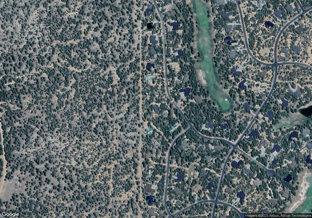
Map
Nearby Homes
- 4740 W White Oak Ln
- 200 N Sorrel Ct
- 4240 W Sugar Pine Loop
- 910 S Barberry Ln
- 4531 W Foxglove Ln
- 4460 W Hawthorn Rd
- 520 N Silverleaf Ln
- 3990 W Sugar Pine Loop
- 400 N Lantana Ln
- 3985 W Cooley Dr
- 4300 W Burke
- 4490 W Hawthorn Rd
- 520 N 42nd Dr
- 4021 W Red Twig Ln
- 4381 W Adams
- 3700 W Black Oak Loop
- 3700 W Black Oak Loop Unit A-4
- 2980 W Black Oak Loop Unit I 3
- 620 N 41st Ave
- 3916 W Cooley St
- 260 S Silktassel Rd
- 240 S Silk Tassel Rd
- 360 Paint Brush Rd
- 320 Paint Brush Rd
- 320 S Paintbrush Rd
- 220 S Silktassel Rd
- 241 S Silktassel Rd
- 220 Silk Tassel Rd
- 221 Silk Tassel Rd
- 221 Silk Tassel Rd Unit LOT 48 RENDEZVOUS 1
- 261 Silk Tassel Rd
- 321 S Silk Tassel Rd
- 200 S Silktassel Rd
- 200 Silk Tassel Rd Unit 73
- 201 Silk Tassel Rd
- 401 Paint Brush Rd
- 401 S Paintbrush Rd
- 440 S Paint Brush Rd
- 180 Silk Tassel Rd
- 180 S Silktassel Rd