260 Silver Loop Silverton, OR 97381
Estimated Value: $396,117 - $433,000
3
Beds
1
Bath
1,152
Sq Ft
$362/Sq Ft
Est. Value
About This Home
This home is located at 260 Silver Loop, Silverton, OR 97381 and is currently estimated at $417,029, approximately $362 per square foot. 260 Silver Loop is a home located in Marion County with nearby schools including Robert Frost Elementary School, Silverton Middle School, and Silverton High School.
Ownership History
Date
Name
Owned For
Owner Type
Purchase Details
Closed on
Mar 29, 2011
Sold by
Qualey Robert B
Bought by
Wertz Neil P
Current Estimated Value
Purchase Details
Closed on
Feb 1, 2006
Sold by
Bader Carrie E
Bought by
Wertz Neil P
Purchase Details
Closed on
Sep 3, 2004
Sold by
Mattox Margaret A
Bought by
Wertz Neil P and Bader Carrie E
Home Financials for this Owner
Home Financials are based on the most recent Mortgage that was taken out on this home.
Original Mortgage
$119,200
Interest Rate
5.75%
Mortgage Type
Stand Alone First
Create a Home Valuation Report for This Property
The Home Valuation Report is an in-depth analysis detailing your home's value as well as a comparison with similar homes in the area
Home Values in the Area
Average Home Value in this Area
Purchase History
| Date | Buyer | Sale Price | Title Company |
|---|---|---|---|
| Wertz Neil P | $220,000 | Ticor Title | |
| Wertz Neil P | -- | Accommodation | |
| Wertz Neil P | $149,000 | Ticor Title |
Source: Public Records
Mortgage History
| Date | Status | Borrower | Loan Amount |
|---|---|---|---|
| Previous Owner | Wertz Neil P | $119,200 | |
| Closed | Wertz Neil P | $29,800 |
Source: Public Records
Tax History
| Year | Tax Paid | Tax Assessment Tax Assessment Total Assessment is a certain percentage of the fair market value that is determined by local assessors to be the total taxable value of land and additions on the property. | Land | Improvement |
|---|---|---|---|---|
| 2025 | $3,160 | $196,420 | -- | -- |
| 2024 | $3,160 | $190,700 | -- | -- |
| 2023 | $3,079 | $185,150 | $0 | $0 |
| 2022 | $2,915 | $179,760 | $0 | $0 |
| 2021 | $2,837 | $174,530 | $0 | $0 |
| 2020 | $3,706 | $169,450 | $0 | $0 |
| 2019 | $2,685 | $164,520 | $0 | $0 |
| 2018 | $2,696 | $0 | $0 | $0 |
| 2017 | $2,635 | $0 | $0 | $0 |
| 2016 | $2,587 | $0 | $0 | $0 |
| 2015 | $2,562 | $0 | $0 | $0 |
| 2014 | $2,485 | $0 | $0 | $0 |
Source: Public Records
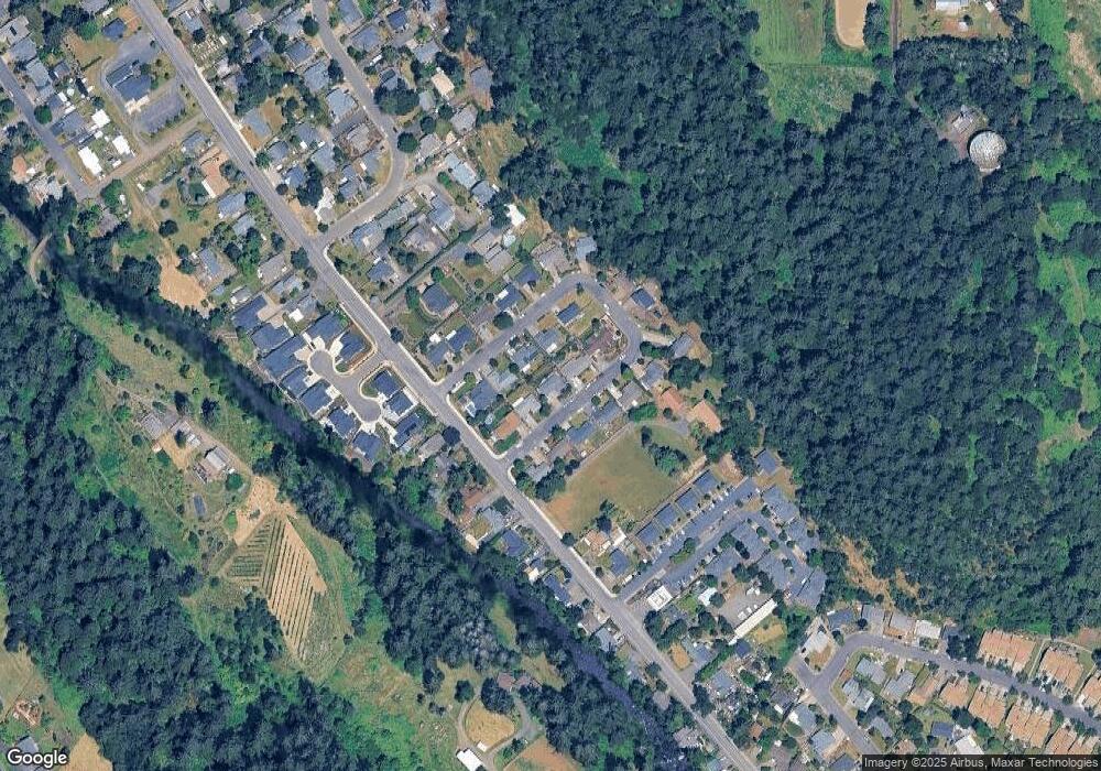
Map
Nearby Homes
- 1160 Bedlington Terrace
- 1133 Enstad Ln
- 1110 Madison St
- 1307 S Water (#23) St Unit 23
- 1307 S Water (#81) St Unit 81
- 911 Oakleaf Way
- 540 Yapa Dr
- 500 Yapa Dr
- 0 Silver Creek Canyon (R38780) Unit 779326
- 918 Pioneer Dr
- 4040 Victor Point Rd NE
- 829 Pioneer Dr
- 4285 Edison Rd NE
- 0 Cowing St
- 1451 Ryan Dr
- 812 Hawk Dr
- 318 Koons St
- 767 Ike Mooney Rd NE
- 901 Riley Dr NE
- 1473 Meadow Ave
- 270 Silver Loop
- 252 Silver Loop
- 212 Silver Loop
- 220 Silver Loop
- 269 Silver Loop
- 261 Silver Loop
- 280 Silver Loop
- 250 Silver Loop
- 271 Silver Loop
- 202 Silver Loop
- 222 Silver Loop
- 259 Silver Loop
- 279 Silver Loop
- 211 Silver Loop
- 219 Silver Loop
- 209 Silver Loop
- 251 Silver Loop
- 221 Silver Loop
- 201 Silver Loop
- 229 Silver Loop
Your Personal Tour Guide
Ask me questions while you tour the home.