260 Sloan Rd Mount Ulla, NC 28125
Estimated Value: $488,000 - $633,000
6
Beds
4
Baths
2,921
Sq Ft
$190/Sq Ft
Est. Value
About This Home
This home is located at 260 Sloan Rd, Mount Ulla, NC 28125 and is currently estimated at $554,643, approximately $189 per square foot. 260 Sloan Rd is a home located in Rowan County with nearby schools including Mount Ulla Elementary School, West Rowan Middle School, and West Rowan High School.
Ownership History
Date
Name
Owned For
Owner Type
Purchase Details
Closed on
Oct 2, 2009
Sold by
Cilinceon Richard J and Cilinceon Mitzi
Bought by
Dunphy Patrick R and Cassady Kristen L
Current Estimated Value
Home Financials for this Owner
Home Financials are based on the most recent Mortgage that was taken out on this home.
Original Mortgage
$211,105
Outstanding Balance
$138,059
Interest Rate
5.11%
Mortgage Type
FHA
Estimated Equity
$416,584
Create a Home Valuation Report for This Property
The Home Valuation Report is an in-depth analysis detailing your home's value as well as a comparison with similar homes in the area
Purchase History
| Date | Buyer | Sale Price | Title Company |
|---|---|---|---|
| Dunphy Patrick R | $215,000 | None Available |
Source: Public Records
Mortgage History
| Date | Status | Borrower | Loan Amount |
|---|---|---|---|
| Open | Dunphy Patrick R | $211,105 |
Source: Public Records
Tax History
| Year | Tax Paid | Tax Assessment Tax Assessment Total Assessment is a certain percentage of the fair market value that is determined by local assessors to be the total taxable value of land and additions on the property. | Land | Improvement |
|---|---|---|---|---|
| 2025 | $2,930 | $432,502 | $44,825 | $387,677 |
| 2024 | $2,930 | $432,502 | $44,825 | $387,677 |
| 2023 | $2,930 | $432,502 | $44,825 | $387,677 |
| 2022 | $922 | $233,119 | $37,020 | $196,099 |
| 2021 | $1,743 | $233,119 | $37,020 | $196,099 |
| 2020 | $1,743 | $233,119 | $37,020 | $196,099 |
| 2019 | $1,743 | $233,119 | $37,020 | $196,099 |
| 2018 | $1,479 | $199,480 | $37,020 | $162,460 |
| 2017 | $1,479 | $199,480 | $37,020 | $162,460 |
| 2016 | $1,479 | $199,480 | $37,020 | $162,460 |
| 2015 | $1,496 | $199,480 | $37,020 | $162,460 |
| 2014 | $1,436 | $200,801 | $37,020 | $163,781 |
Source: Public Records
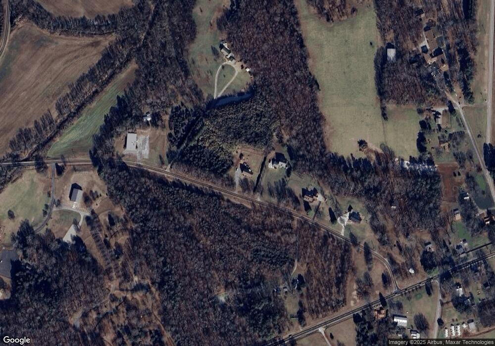
Map
Nearby Homes
- 250 Goldenrod Cir
- 1070 Castle Mill Ln
- 1015 Coppergate Dr
- 1055 Coppergate Dr
- 613 Fly Fisher Dr
- 109 Beechwood Dr
- 7195 Mooresville Rd
- 153 Trinity Ct
- 1033 Stonegate Dr
- 1063 Stonegate Dr
- 1075 Stonegate Dr
- 1115 Stonegate Dr
- 152 Old Bailey Ct
- 1135 Stonegate Dr
- 530 Upright Rd
- 1188 Cobblestone Dr
- 1005 Coppergate Dr
- 1325 Coppergate Dr
- TBD Upright Rd
- 2340 Patterson Rd
- 240 Sloan Rd
- 220 Sloan Rd
- 180 Sloan Rd
- 9110 Mooresville Rd
- 300 Sloan Rd
- 9006 Mooresville Rd
- 9015 Mooresville Rd
- 8911 Mooresville Rd
- 8712 Mooresville Rd
- 9311 Mooresville Rd
- 180 White Rd
- 160 White Rd
- 8811 Mooresville Rd
- 130 White Rd
- 9445 Mooresville Rd
- 9075 Mooresville Rd
- 220 White Rd
- 8711 Mooresville Rd
- 8706 Mooresville Rd
- 120 White Rd
Your Personal Tour Guide
Ask me questions while you tour the home.