260 Spring Ln Branson, MO 65616
Estimated Value: $472,000 - $570,000
5
Beds
4
Baths
4,100
Sq Ft
$128/Sq Ft
Est. Value
About This Home
This home is located at 260 Spring Ln, Branson, MO 65616 and is currently estimated at $525,422, approximately $128 per square foot. 260 Spring Ln is a home located in Taney County with nearby schools including Cedar Ridge Primary, Cedar Ridge Intermediate School, and Cedar Ridge Elementary School.
Ownership History
Date
Name
Owned For
Owner Type
Purchase Details
Closed on
Dec 16, 2013
Sold by
Hourigan Jerome B and Hourigan Leslie W
Bought by
Hourigan Jerome B and Hourigan Leslie W
Current Estimated Value
Home Financials for this Owner
Home Financials are based on the most recent Mortgage that was taken out on this home.
Original Mortgage
$236,000
Outstanding Balance
$175,906
Interest Rate
4.14%
Mortgage Type
New Conventional
Estimated Equity
$349,516
Purchase Details
Closed on
Dec 9, 2013
Sold by
Lamberson Steve P and Lamberson Rachel P
Bought by
Hourigan Jerome B and Hourigan Leslie W
Home Financials for this Owner
Home Financials are based on the most recent Mortgage that was taken out on this home.
Original Mortgage
$236,000
Outstanding Balance
$175,906
Interest Rate
4.14%
Mortgage Type
New Conventional
Estimated Equity
$349,516
Create a Home Valuation Report for This Property
The Home Valuation Report is an in-depth analysis detailing your home's value as well as a comparison with similar homes in the area
Purchase History
| Date | Buyer | Sale Price | Title Company |
|---|---|---|---|
| Hourigan Jerome B | -- | Lincoln Land Title | |
| Hourigan Jerome B | -- | Lincoln Land Title |
Source: Public Records
Mortgage History
| Date | Status | Borrower | Loan Amount |
|---|---|---|---|
| Open | Hourigan Jerome B | $236,000 |
Source: Public Records
Tax History
| Year | Tax Paid | Tax Assessment Tax Assessment Total Assessment is a certain percentage of the fair market value that is determined by local assessors to be the total taxable value of land and additions on the property. | Land | Improvement |
|---|---|---|---|---|
| 2025 | $2,683 | $45,470 | -- | -- |
| 2023 | $2,683 | $51,710 | $0 | $0 |
| 2022 | $2,607 | $51,710 | $0 | $0 |
| 2021 | $2,594 | $51,710 | $0 | $0 |
| 2019 | $2,364 | $45,950 | $0 | $0 |
| 2018 | $2,368 | $45,950 | $0 | $0 |
| 2017 | $2,344 | $45,950 | $0 | $0 |
| 2016 | $2,355 | $46,250 | $0 | $0 |
| 2015 | $2,335 | $46,250 | $0 | $0 |
| 2014 | $2,141 | $44,320 | $0 | $0 |
Source: Public Records
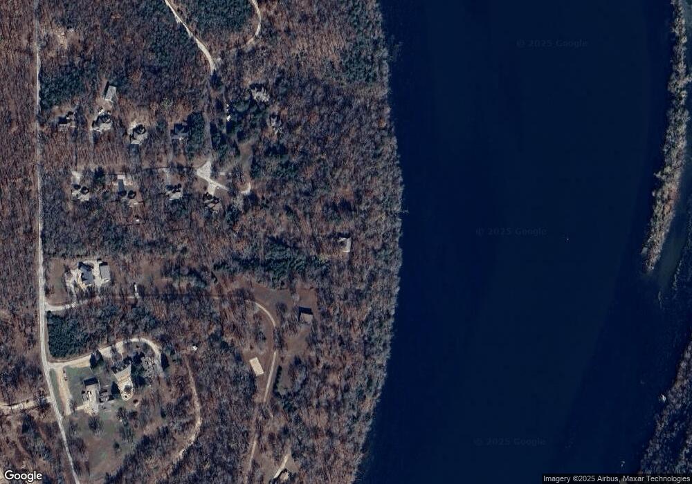
Map
Nearby Homes
- 145 Spring Ln
- 1985 Mountain Grove Rd
- 1999 Mountain Grove Rd
- 111 Turtle Ridge Dr
- 5 Turtle Ridge Dr
- 221 Turtle Ridge Dr
- 201 Turtle Ridge Dr
- 191 Turtle Ridge Dr
- 181 Turtle Ridge Dr
- 211 Turtle Ridge Dr
- 161 Turtle Ridge Dr
- 151 Turtle Ridge Dr
- 145 Snapper St
- 500 State Highway Y
- 290 Atchison Ave
- 217 Wichita Ave
- 1367 Mountain Grove Rd
- 150 Sunken Forest Dr Unit 10-251
- 150 Sunken Forest Dr Unit 10-242
- 150 Sunken Forest Dr Unit 235
- 271 Spring Ln
- 230 Spring Ln
- 259 Spring
- 196 Spring Ln
- 235 Spring Ln
- 205 Spring Ln
- 140 Rocky Point Loop
- 175 Spring Ln
- 0 Stonegate Dr
- 158 Spring Ln
- 000 Lot 20 Rocky Point Loop
- 000 Lot 21 Rocky Point Loop
- 550 Rocky Point Loop
- 510 Rocky Point Loop
- 442 Rocky Point Loop
- 408 Rocky Point Loop
- 342 Rocky Point Loop
- 378 Rocky Point Loop
- 310 Rocky Point Loop
- 276 Rocky Point Loop
Your Personal Tour Guide
Ask me questions while you tour the home.