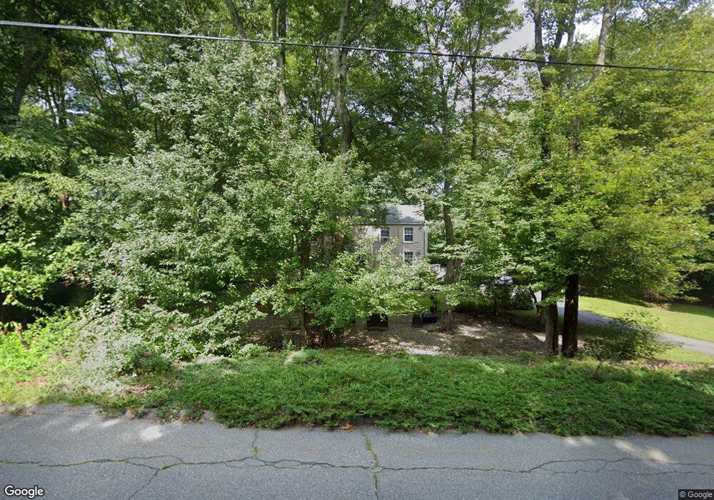
260 Springbrook Rd Old Saybrook, CT 06475
Estimated Value: $458,000 - $584,000
4
Beds
2
Baths
1,532
Sq Ft
$325/Sq Ft
Est. Value
About This Home
This home is located at 260 Springbrook Rd, Old Saybrook, CT 06475 and is currently estimated at $498,463, approximately $325 per square foot. 260 Springbrook Rd is a home located in Middlesex County with nearby schools including Kathleen E. Goodwin School, Old Saybrook Middle School, and Old Saybrook Senior High School.
Ownership History
Date
Name
Owned For
Owner Type
Purchase Details
Closed on
Feb 16, 2006
Sold by
Buscetto Christine and Carl Douglas
Bought by
Work Duncan and Work Laura
Current Estimated Value
Home Financials for this Owner
Home Financials are based on the most recent Mortgage that was taken out on this home.
Original Mortgage
$238,400
Interest Rate
6.23%
Create a Home Valuation Report for This Property
The Home Valuation Report is an in-depth analysis detailing your home's value as well as a comparison with similar homes in the area
Home Values in the Area
Average Home Value in this Area
Purchase History
| Date | Buyer | Sale Price | Title Company |
|---|---|---|---|
| Work Duncan | $298,000 | -- |
Source: Public Records
Mortgage History
| Date | Status | Borrower | Loan Amount |
|---|---|---|---|
| Open | Work Duncan | $250,305 | |
| Closed | Work Duncan | $238,400 | |
| Previous Owner | Work Duncan | $65,000 | |
| Previous Owner | Work Duncan | $60,000 |
Source: Public Records
Tax History
| Year | Tax Paid | Tax Assessment Tax Assessment Total Assessment is a certain percentage of the fair market value that is determined by local assessors to be the total taxable value of land and additions on the property. | Land | Improvement |
|---|---|---|---|---|
| 2025 | $3,830 | $247,100 | $80,200 | $166,900 |
| 2024 | $3,756 | $247,100 | $80,200 | $166,900 |
| 2023 | $3,466 | $169,500 | $63,900 | $105,600 |
| 2022 | $3,404 | $169,500 | $63,900 | $105,600 |
| 2021 | $3,400 | $169,600 | $64,000 | $105,600 |
| 2020 | $3,400 | $169,600 | $64,000 | $105,600 |
| 2019 | $3,350 | $169,600 | $64,000 | $105,600 |
| 2018 | $3,510 | $179,100 | $59,800 | $119,300 |
| 2017 | $3,521 | $179,100 | $59,800 | $119,300 |
| 2016 | $3,449 | $179,100 | $59,800 | $119,300 |
| 2015 | $3,369 | $179,100 | $59,800 | $119,300 |
| 2014 | $3,313 | $179,100 | $59,800 | $119,300 |
Source: Public Records
Map
Nearby Homes
- 5 Sunrise Ave
- 9 2nd Ave
- 6 Parkman Place
- 96 Ayers Point Rd
- 62-14,15,16 Middlesex Turnpike
- 12 Hill Rd
- 0 Middlesex Turnpike
- 1 Huntley Rd
- 41 Watrous Point Rd
- 1 & 3 Neck Rd
- Lot 2 - 160 Saybrook Rd
- 9 Essex Hills Dr
- 8 Lieutenant River Ln
- 100 Dudley Ave Unit F31
- 3 Ferry Rd
- 60 Lyme St
- 25 Pond Rd
- 10 Cove Hill Rd
- 125 Main St
- 0 Merritt Ln
- 269 Springbrook Rd
- 247 Springbrook Rd
- 220 Springbrook Rd
- 275 Springbrook Rd
- 225 Springbrook Rd
- 281 Springbrook Rd
- 280 Springbrook Rd
- 6 Overlook Dr
- 194 Essex Rd
- 210 Springbrook Rd
- 209 Springbrook Rd
- 223 Essex Rd
- 8 Overlook Dr
- 4 Overlook Dr
- 35 Briarcliffe Trail
- 310 Springbrook Rd
- 10 Overlook Dr
- 299 Springbrook Rd
- 3 Sunset Ave
- 200 Springbrook Rd
Your Personal Tour Guide
Ask me questions while you tour the home.