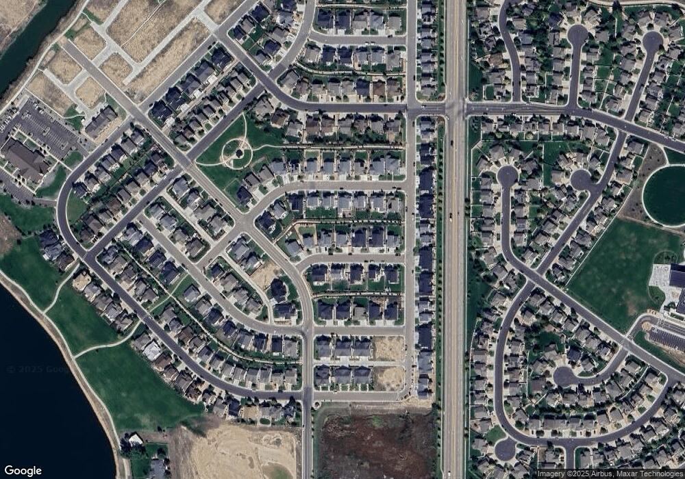
260 Sutherland Dr Windsor, CO 80550
Estimated Value: $637,936 - $704,000
5
Beds
3
Baths
1,692
Sq Ft
$392/Sq Ft
Est. Value
About This Home
This home is located at 260 Sutherland Dr, Windsor, CO 80550 and is currently estimated at $662,734, approximately $391 per square foot. 260 Sutherland Dr is a home with nearby schools including Windsor Middle School, Windsor High School, and Windsor Charter Academy Elementary School.
Ownership History
Date
Name
Owned For
Owner Type
Purchase Details
Closed on
Nov 6, 2019
Sold by
The Windmill Homes Company
Bought by
Tompkins Hilary Michelle and Tompkins Nicholas Charles
Current Estimated Value
Home Financials for this Owner
Home Financials are based on the most recent Mortgage that was taken out on this home.
Original Mortgage
$248,465
Outstanding Balance
$216,202
Interest Rate
3.6%
Mortgage Type
New Conventional
Estimated Equity
$446,532
Create a Home Valuation Report for This Property
The Home Valuation Report is an in-depth analysis detailing your home's value as well as a comparison with similar homes in the area
Purchase History
| Date | Buyer | Sale Price | Title Company |
|---|---|---|---|
| Tompkins Hilary Michelle | $376,465 | Heritage Title Company | |
| The Windmill Homes Company | $90,000 | None Available |
Source: Public Records
Mortgage History
| Date | Status | Borrower | Loan Amount |
|---|---|---|---|
| Open | Tompkins Hilary Michelle | $248,465 |
Source: Public Records
Tax History
| Year | Tax Paid | Tax Assessment Tax Assessment Total Assessment is a certain percentage of the fair market value that is determined by local assessors to be the total taxable value of land and additions on the property. | Land | Improvement |
|---|---|---|---|---|
| 2025 | $5,414 | $41,260 | $8,130 | $33,130 |
| 2024 | $5,414 | $41,260 | $8,130 | $33,130 |
| 2023 | $5,109 | $43,090 | $6,770 | $36,320 |
| 2022 | $3,867 | $27,520 | $6,600 | $20,920 |
| 2021 | $3,693 | $28,310 | $6,790 | $21,520 |
| 2020 | $3,535 | $27,450 | $5,360 | $22,090 |
| 2019 | $168 | $1,310 | $1,310 | $0 |
| 2018 | $29 | $220 | $220 | $0 |
| 2017 | $30 | $220 | $220 | $0 |
| 2016 | $29 | $230 | $230 | $0 |
| 2015 | $28 | $230 | $230 | $0 |
| 2014 | $22 | $170 | $170 | $0 |
Source: Public Records
Map
Nearby Homes
- 244 Veronica Dr
- 293 Turnberry Dr
- 283 Turnberry Dr
- 273 Turnberry Dr
- 284 Veronica Dr
- 274 Veronica Dr
- 294 Veronica Dr
- 597 Red Jewel Dr
- 553 Hillspire Dr
- 265 Hillspire Dr
- 679 Red Jewel Dr
- 648 Greenspire Dr Unit 6
- 648 Greenspire Dr Unit 5
- 621 Denali Ct
- 271 Cornelia Dr
- 743 Little Leaf Dr
- 355 Antora Ct
- 742 Canoe Birch Dr
- 783 Canoe Birch Dr
- 18 Boxwood Dr
- 270 Sutherland Dr
- 250 Sutherland Dr
- 280 Sutherland Dr
- 265 Saskatoon Dr
- 240 Sutherland Dr
- 281 Saskatoon Dr
- 261 Sutherland Dr
- 271 Sutherland Dr
- 257 Saskatoon Dr
- 289 Saskatoon Dr
- 241 Sutherland Dr
- 230 Sutherland Dr
- 281 Sutherland Dr
- 249 Saskatoon Dr
- 291 Saskatoon Dr
- 291 Sutherland Dr
- 233 Saskatoon Dr
- 282 Saskatoon Dr
- 220 Turnberry Dr
- 217 Saskatoon Dr
Your Personal Tour Guide
Ask me questions while you tour the home.
