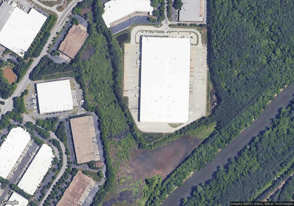
260 the Bluffs Austell, GA 30168
--
Bed
--
Bath
203,694
Sq Ft
36.56
Acres
About This Home
This home is located at 260 the Bluffs, Austell, GA 30168. 260 the Bluffs is a home located in Cobb County with nearby schools including City View Elementary, Lindley Middle School, and Pebblebrook High School.
Ownership History
Date
Name
Owned For
Owner Type
Purchase Details
Closed on
Jun 9, 2017
Bought by
Duke Realty Limited Partnershi
Purchase Details
Closed on
Feb 3, 2015
Sold by
Mcnutt Service Grp Inc
Bought by
Fifth Third Bank
Purchase Details
Closed on
Nov 19, 2007
Sold by
Propex Inc
Bought by
Rlb Friedship Llc
Home Financials for this Owner
Home Financials are based on the most recent Mortgage that was taken out on this home.
Original Mortgage
$6,487,864
Interest Rate
6.32%
Create a Home Valuation Report for This Property
The Home Valuation Report is an in-depth analysis detailing your home's value as well as a comparison with similar homes in the area
Home Values in the Area
Average Home Value in this Area
Purchase History
| Date | Buyer | Sale Price | Title Company |
|---|---|---|---|
| Duke Realty Limited Partnershi | $4,900,000 | -- | |
| Fifth Third Bank | -- | -- | |
| Rlb Friedship Llc | $5,150,000 | -- |
Source: Public Records
Mortgage History
| Date | Status | Borrower | Loan Amount |
|---|---|---|---|
| Previous Owner | Rlb Friedship Llc | $6,487,864 |
Source: Public Records
Tax History Compared to Growth
Tax History
| Year | Tax Paid | Tax Assessment Tax Assessment Total Assessment is a certain percentage of the fair market value that is determined by local assessors to be the total taxable value of land and additions on the property. | Land | Improvement |
|---|---|---|---|---|
| 2025 | $26,759 | $888,104 | $888,104 | -- |
| 2024 | $29,885 | $888,104 | $888,104 | -- |
| 2023 | $29,885 | $888,104 | $888,104 | $0 |
| 2022 | $27,786 | $820,856 | $820,856 | $0 |
| 2021 | $0 | $884,456 | $820,856 | $63,600 |
| 2020 | $29,939 | $884,456 | $820,856 | $63,600 |
| 2019 | $29,939 | $884,456 | $820,856 | $63,600 |
| 2018 | $0 | $957,724 | $900,004 | $57,720 |
| 2017 | $0 | $3,200,000 | $646,804 | $2,553,196 |
| 2016 | $103,200 | $3,200,000 | $646,804 | $2,553,196 |
| 2015 | $105,472 | $3,200,000 | $646,804 | $2,553,196 |
| 2014 | $95,072 | $3,200,000 | $646,804 | $2,553,196 |
Source: Public Records
Map
Nearby Homes
- 0 Riverside Pkwy Unit 7336437
- 0 Riverside Pkwy
- 204 Becket V L 949 Rd
- 00 Six Flags Rd
- 0 Cityview Dr SW Unit 10597603
- 7249 Factory Shoals Rd
- 7282 Rockhouse Rd Unit 5
- 7238 Crestside Dr Unit 79
- 937 Pine Oak Trail
- 7224 Crestside Dr Unit 1
- 967 Pine Hollow Rd
- 7224 Kings Cove Unit 10
- 295 Sweetshrub Dr Unit 2
- 796 Crestside Ct Unit 1
- 201 Wilhelmina Dr
- 7080 Fringe Flower Dr Unit 18
- 7151 Springchase Way
- 7074 Oakhill Cir
- 7066 Oakhill Cir
- 7010 Oakhill Cir
- 8050 Troon Cir SW Unit 13
- 260 The Bluffs
- 624 Riverside Pkwy
- 208 Cedar St
- 661 Riverside Pkwy
- 750 Six Flags Lot 325 Rd
- 671 Riverside Pkwy
- 238 Dogwood St
- 0 S U Highway 129 N Unit 10336163
- 0 S U Highway 129 N Unit 10336145
- 0 S Old 27 Hwy
- LOT 6 Shiloh Rd
- 5109 Tulip Square
- 4096 Runnel Hill Unit 72
- 0 S U Highway 129 N Unit 10272510
- 0 S U Highway 129 N Unit 10271552
- 0 S U Highway 129 N
- 115 115 Rolling Meadow Way
- LOT 9,10,11 Fairview Station
- 1390 Test St