260 Thorpe Rd Jackson, GA 30233
Worthville NeighborhoodEstimated Value: $681,000 - $982,595
Studio
--
Bath
3,339
Sq Ft
$255/Sq Ft
Est. Value
About This Home
This home is located at 260 Thorpe Rd, Jackson, GA 30233 and is currently estimated at $849,865, approximately $254 per square foot. 260 Thorpe Rd is a home with nearby schools including Jackson High School.
Ownership History
Date
Name
Owned For
Owner Type
Purchase Details
Closed on
Jul 20, 2010
Sold by
Grogan
Bought by
Grogan C Edward
Current Estimated Value
Purchase Details
Closed on
Dec 27, 2007
Sold by
Not Provided
Bought by
Grogan C Edward and Grogan Toni W
Purchase Details
Closed on
Oct 24, 2006
Sold by
Grogan Frankie D
Bought by
Grogand Charles Edward
Create a Home Valuation Report for This Property
The Home Valuation Report is an in-depth analysis detailing your home's value as well as a comparison with similar homes in the area
Home Values in the Area
Average Home Value in this Area
Purchase History
| Date | Buyer | Sale Price | Title Company |
|---|---|---|---|
| Grogan C Edward | -- | -- | |
| Grogan C Edward | -- | -- | |
| Grogand Charles Edward | -- | -- |
Source: Public Records
Tax History
| Year | Tax Paid | Tax Assessment Tax Assessment Total Assessment is a certain percentage of the fair market value that is determined by local assessors to be the total taxable value of land and additions on the property. | Land | Improvement |
|---|---|---|---|---|
| 2025 | $8,647 | $376,840 | $80,000 | $296,840 |
| 2024 | $8,647 | $370,823 | $80,000 | $290,823 |
| 2023 | $8,949 | $344,109 | $80,000 | $264,109 |
| 2022 | $8,239 | $303,634 | $57,500 | $246,134 |
| 2021 | $6,903 | $237,647 | $50,000 | $187,647 |
| 2020 | $6,858 | $227,308 | $50,000 | $177,308 |
| 2019 | $5,294 | $181,484 | $50,000 | $131,484 |
| 2018 | $5,225 | $171,715 | $50,000 | $121,715 |
| 2017 | $5,176 | $167,111 | $50,000 | $117,111 |
| 2016 | $5,477 | $167,111 | $50,000 | $117,111 |
| 2015 | $4,796 | $172,386 | $50,000 | $122,386 |
| 2014 | $4,818 | $144,333 | $36,332 | $108,001 |
Source: Public Records
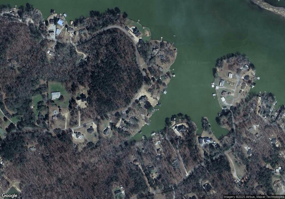
Map
Nearby Homes
- 296 Reeves Rd
- 140 Friddell Rd
- 123 Friddell Rd
- 162 Collins Rd
- 186 Arrow Point Rd
- 132 Collins Rd
- 500 Lang Rd
- 0 Collins Rd Unit 10638377
- 110 River Point Rd Unit Lot 19
- 122 River Point Rd Unit Lot 25
- 108 River Point Rd Unit LOT 18
- 755 Lang Cir
- 102 Crestview Ln Unit 33
- 184 Bradley Rd
- 225 Lang Cir
- 104 Crestview Ln Unit 34
- 0 Bradley Rd Unit 20109710
- LOT 24-A River Point Rd Unit LOT 24-A
- LOT 24-C River Point Rd Unit LOT 24-C
- LOT 24-B River Point Rd Unit LOT 24-B
- 252 Thorpe Rd
- 262 Thorpe Rd
- 250 Thorpe Rd
- 246 Thorpe Rd
- 264 Thorpe Rd
- 244 Thorpe Rd
- 265 Thorpe Rd
- 266 Thorpe Rd
- 230 Thorpe Rd
- 284 Thorpe Rd
- 228 Reeves Rd
- 222 Thorpe Rd
- 215 Thorpe Rd
- 245 Reeves Rd
- 238 Reeves Rd
- 221 Reeves Rd
- 286 Thorpe Rd Unit A & B
- 286 Thorpe Rd Unit A OR B
- 286 Thorpe Rd Unit A & B
- 286 Thorpe Rd Unit A OR B
Your Personal Tour Guide
Ask me questions while you tour the home.