260 W 600n Jasper, IN 47546
Estimated Value: $352,000 - $615,000
3
Beds
2
Baths
2,244
Sq Ft
$224/Sq Ft
Est. Value
About This Home
This home is located at 260 W 600n, Jasper, IN 47546 and is currently estimated at $501,717, approximately $223 per square foot. 260 W 600n is a home located in Dubois County with nearby schools including Northeast Dubois High School.
Ownership History
Date
Name
Owned For
Owner Type
Purchase Details
Closed on
Sep 17, 2020
Sold by
Rees Lucinda A
Bought by
Rees Brett P
Current Estimated Value
Home Financials for this Owner
Home Financials are based on the most recent Mortgage that was taken out on this home.
Original Mortgage
$275,000
Outstanding Balance
$244,044
Interest Rate
2.9%
Mortgage Type
New Conventional
Estimated Equity
$257,673
Purchase Details
Closed on
Sep 6, 2016
Sold by
Smith Max E and Smith Ruth L
Bought by
Rees Lucinda A
Home Financials for this Owner
Home Financials are based on the most recent Mortgage that was taken out on this home.
Original Mortgage
$216,500
Interest Rate
3.43%
Mortgage Type
Future Advance Clause Open End Mortgage
Create a Home Valuation Report for This Property
The Home Valuation Report is an in-depth analysis detailing your home's value as well as a comparison with similar homes in the area
Home Values in the Area
Average Home Value in this Area
Purchase History
| Date | Buyer | Sale Price | Title Company |
|---|---|---|---|
| Rees Brett P | -- | Dubois County Title Co Inc | |
| Rees Lucinda A | -- | None Available |
Source: Public Records
Mortgage History
| Date | Status | Borrower | Loan Amount |
|---|---|---|---|
| Open | Rees Brett P | $275,000 | |
| Closed | Rees Lucinda A | $216,500 |
Source: Public Records
Tax History Compared to Growth
Tax History
| Year | Tax Paid | Tax Assessment Tax Assessment Total Assessment is a certain percentage of the fair market value that is determined by local assessors to be the total taxable value of land and additions on the property. | Land | Improvement |
|---|---|---|---|---|
| 2024 | $2,556 | $308,100 | $45,900 | $262,200 |
| 2023 | $2,356 | $292,000 | $45,900 | $246,100 |
| 2022 | $2,294 | $266,400 | $45,900 | $220,500 |
| 2021 | $2,312 | $253,300 | $30,000 | $223,300 |
| 2020 | $2,200 | $239,000 | $28,600 | $210,400 |
| 2019 | $1,865 | $232,100 | $28,100 | $204,000 |
| 2018 | $1,908 | $234,200 | $28,100 | $206,100 |
| 2017 | $1,968 | $233,100 | $28,100 | $205,000 |
| 2016 | $1,374 | $178,100 | $28,100 | $150,000 |
| 2014 | $1,165 | $171,600 | $28,100 | $143,500 |
Source: Public Records
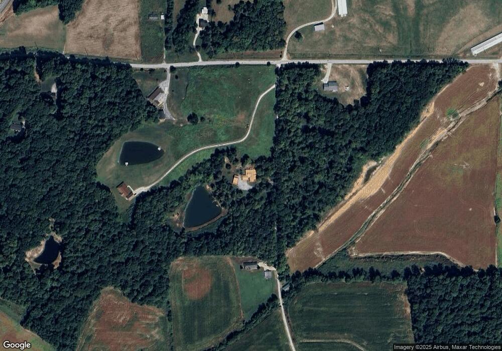
Map
Nearby Homes
- 228 W State Road 56
- 0 N 200 W
- 4250 N Portersville Rd
- 4130 N Portersville Rd
- 4189 Timberpoint Ct
- 4090 Pinehurst Dr
- 1236 W Todd Ln
- Lot 25 Meridian Rd
- 1421 W Todd Ln
- 1273 W Clover St
- 223 Reyling Dr
- 1418 W Clover St
- 2916 Brosmer St
- 402 E 26th St
- 2526 Birk Dr
- 1320 Webb Rd
- 425 Schuetter Rd
- Jefferson St St
- 1514 Dewey St
- 913 W 20th St
- 260 W 600 N
- 270 W 600n
- 0 Cr600 Rd Unit 202405269
- 370 W 600n
- 351 W 600 N
- 351 W 600n
- 373 W 600n
- 460 W 600n
- 480 W 600n
- 280 W 600n
- 5870 N Us Highway 231
- 0 W 600 N Unit 201818632
- 0 W 600 N Unit 202315424
- 0 W 600 N Unit 202211528
- 0 W 600 N Unit 949639
- 490 W 600n
- 6158 N Us Highway 231
- 5888 State Highway 231 N
- 5876 N Us Highway 231
- 5888 N Us Highway 231