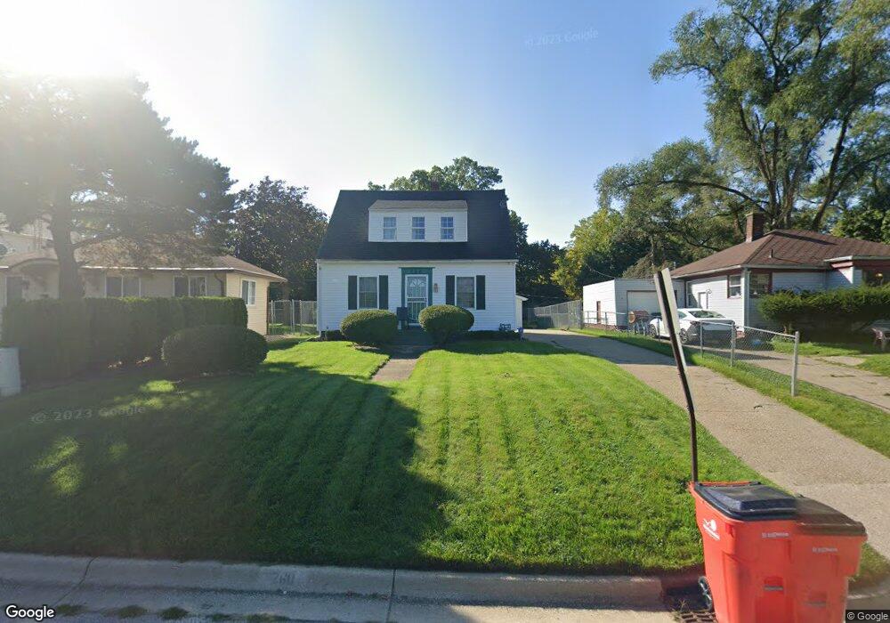
260 W Empire Ave Benton Harbor, MI 49022
Estimated Value: $108,000 - $131,000
3
Beds
1
Bath
972
Sq Ft
$122/Sq Ft
Est. Value
About This Home
This home is located at 260 W Empire Ave, Benton Harbor, MI 49022 and is currently estimated at $118,655, approximately $122 per square foot. 260 W Empire Ave is a home located in Berrien County with nearby schools including Fair Plain Middle School, Benton Harbor High School, and Benton Harbor Charter School Academy.
Ownership History
Date
Name
Owned For
Owner Type
Purchase Details
Closed on
Feb 12, 2020
Sold by
Guidry Marvin E and Guidry Cynthia L
Bought by
Guidry Marvin E and Guidry Cynthia L
Current Estimated Value
Purchase Details
Closed on
Sep 26, 1996
Purchase Details
Closed on
Jan 29, 1991
Purchase Details
Closed on
Dec 15, 1988
Purchase Details
Closed on
Nov 10, 1987
Purchase Details
Closed on
Sep 28, 1982
Purchase Details
Closed on
Sep 27, 1982
Purchase Details
Closed on
Jul 2, 1982
Create a Home Valuation Report for This Property
The Home Valuation Report is an in-depth analysis detailing your home's value as well as a comparison with similar homes in the area
Home Values in the Area
Average Home Value in this Area
Purchase History
| Date | Buyer | Sale Price | Title Company |
|---|---|---|---|
| Guidry Marvin E | -- | None Available | |
| -- | $33,000 | -- | |
| -- | -- | -- | |
| -- | $30,000 | -- | |
| -- | $6,500 | -- | |
| -- | $7,000 | -- | |
| -- | $5,000 | -- | |
| -- | -- | -- |
Source: Public Records
Tax History Compared to Growth
Tax History
| Year | Tax Paid | Tax Assessment Tax Assessment Total Assessment is a certain percentage of the fair market value that is determined by local assessors to be the total taxable value of land and additions on the property. | Land | Improvement |
|---|---|---|---|---|
| 2025 | $1,103 | $41,800 | $0 | $0 |
| 2024 | $1,044 | $40,300 | $0 | $0 |
| 2023 | $766 | $32,200 | $0 | $0 |
| 2022 | $948 | $27,300 | $0 | $0 |
| 2021 | $970 | $25,900 | $700 | $25,200 |
| 2020 | $958 | $26,600 | $0 | $0 |
| 2019 | $941 | $25,600 | $0 | $0 |
| 2018 | $918 | $24,400 | $0 | $0 |
| 2017 | $900 | $20,500 | $0 | $0 |
| 2016 | $882 | $20,700 | $0 | $0 |
| 2015 | $881 | $19,900 | $0 | $0 |
| 2014 | $935 | $24,100 | $0 | $0 |
Source: Public Records
Map
Nearby Homes
- 202 Searles Ave
- 941 Colfax Ave
- 304 W May St
- 131 Clay St
- 171 E Empire Ave
- 979 Lavette Ave
- 1000 Riverview Dr Unit 11
- 694 Colfax Ave
- 161 Kline Ave
- 1235 Colfax Ave
- 1045 Broadway
- 576 Colfax Ave
- 972 Pearl St
- 833 Pearl St
- 614 Pavone St
- 1097 Pearl St
- 180 Emery Ave
- 361 E May St
- 460 Colfax Ave
- 398 Anchors Way Unit 82s
- 252 W Empire Ave
- 268 W Empire Ave
- 272 W Empire Ave
- 232 W Empire Ave
- 269 Hastings Ave
- 255 Hastings Ave
- 284 W Empire Ave
- 224 W Empire Ave
- 277 Hastings Ave
- 235 Hastings Ave
- 281 Hastings Ave
- 285 Hastings Ave
- 227 Hastings Ave
- 225 Hastings Ave
- 298 W Empire Ave
- 208 W Empire Ave
- 291 Hastings Ave
- 217 Hastings Ave
- 200 W Empire Ave
- 276 Hastings Ave