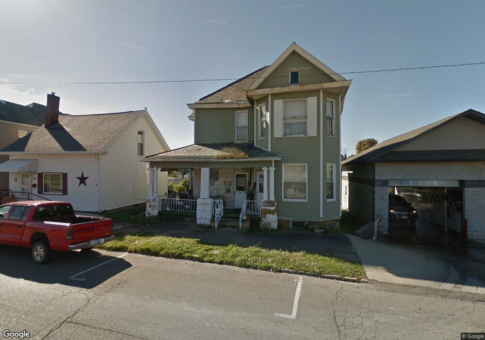
260 W Main St Barnesville, OH 43713
Estimated Value: $111,649 - $161,000
3
Beds
1
Bath
2,016
Sq Ft
$68/Sq Ft
Est. Value
About This Home
This home is located at 260 W Main St, Barnesville, OH 43713 and is currently estimated at $137,412, approximately $68 per square foot. 260 W Main St is a home located in Belmont County with nearby schools including Barnesville Elementary School, Barnesville Middle School, and Barnesville High School.
Ownership History
Date
Name
Owned For
Owner Type
Purchase Details
Closed on
Oct 3, 2006
Sold by
Hannahs Robert D and Hannahs Judy
Bought by
Baker Virginia L
Current Estimated Value
Home Financials for this Owner
Home Financials are based on the most recent Mortgage that was taken out on this home.
Original Mortgage
$41,200
Outstanding Balance
$24,114
Interest Rate
6.49%
Mortgage Type
Purchase Money Mortgage
Estimated Equity
$113,298
Purchase Details
Closed on
Jan 1, 1986
Sold by
Woods Andrew Herbert and Woods Ba
Bought by
Hannahs Ruby J
Create a Home Valuation Report for This Property
The Home Valuation Report is an in-depth analysis detailing your home's value as well as a comparison with similar homes in the area
Home Values in the Area
Average Home Value in this Area
Purchase History
| Date | Buyer | Sale Price | Title Company |
|---|---|---|---|
| Baker Virginia L | $41,200 | The Title Firm Inc | |
| Baker Virginia L | $26,666 | The Title Firm Inc | |
| Hannahs Ruby J | -- | -- |
Source: Public Records
Mortgage History
| Date | Status | Borrower | Loan Amount |
|---|---|---|---|
| Open | Baker Virginia L | $41,200 |
Source: Public Records
Tax History
| Year | Tax Paid | Tax Assessment Tax Assessment Total Assessment is a certain percentage of the fair market value that is determined by local assessors to be the total taxable value of land and additions on the property. | Land | Improvement |
|---|---|---|---|---|
| 2025 | $545 | $26,710 | $3,200 | $23,510 |
| 2024 | $548 | $26,710 | $3,200 | $23,510 |
| 2023 | $504 | $24,070 | $2,560 | $21,510 |
| 2022 | $518 | $24,066 | $2,555 | $21,511 |
| 2021 | $519 | $24,069 | $2,555 | $21,514 |
| 2020 | $401 | $20,060 | $2,130 | $17,930 |
| 2019 | $404 | $20,060 | $2,130 | $17,930 |
| 2018 | $402 | $20,060 | $2,130 | $17,930 |
| 2017 | $267 | $16,060 | $2,790 | $13,270 |
| 2016 | $254 | $16,060 | $2,790 | $13,270 |
| 2015 | $253 | $16,060 | $2,790 | $13,270 |
| 2014 | $268 | $16,360 | $2,540 | $13,820 |
| 2013 | $260 | $16,360 | $2,540 | $13,820 |
Source: Public Records
Map
Nearby Homes
- 152 E Main St
- 136 E Walnut St
- 329 S Chestnut St
- 202 Walton Ave
- 617 Park St
- 618 Park St
- TBD W Main St
- 613 E Main St
- 724 E Main St
- 0 County Road 114
- 62239 Hillcrest Rd
- 118 Pine Ln
- 164 Pine Ln
- 0 Fairmont Ave Unit 5163774
- 0 Fairmont Ave Unit 5163784
- Lot 1 Cattle Dr
- 0 Nevada Rd
- 57128 Somerton Hwy
- 0 Johnson Bethel Rd
- 471 Fair Ave
- 252 W Main St
- 248 W Main St
- 242 W Main St
- 233 W South St
- 235 W South St
- 239 W South St
- 229 W South St
- 241 W South St
- 225 W South St
- 223 W South St
- 223 W South St
- 271 W Main St
- 220 W Main St
- 306 W Main St
- 0 Gardner St Unit T9517100
- 227 W Main St
- 221 W South St Unit rear
- 211 1/2 W South St
- 229 W Main St
- 219 W Main St
Your Personal Tour Guide
Ask me questions while you tour the home.