260 Wild Pines Dr Pocono Pines, PA 18350
Estimated Value: $575,973 - $666,000
3
Beds
3
Baths
3,614
Sq Ft
$171/Sq Ft
Est. Value
About This Home
This home is located at 260 Wild Pines Dr, Pocono Pines, PA 18350 and is currently estimated at $616,243, approximately $170 per square foot. 260 Wild Pines Dr is a home with nearby schools including Clear Run Intermediate School, Pocono Mountain West Junior High School, and Pocono Mountain West High School.
Ownership History
Date
Name
Owned For
Owner Type
Purchase Details
Closed on
Jan 31, 2017
Sold by
Keim Michael S and Keim Jennifer M
Bought by
Keim Michael S
Current Estimated Value
Purchase Details
Closed on
Aug 21, 2007
Sold by
Pinecrest Lake Homes Llc
Bought by
Keim Michael S and Keim Jennifer M
Create a Home Valuation Report for This Property
The Home Valuation Report is an in-depth analysis detailing your home's value as well as a comparison with similar homes in the area
Home Values in the Area
Average Home Value in this Area
Purchase History
| Date | Buyer | Sale Price | Title Company |
|---|---|---|---|
| Keim Michael S | -- | None Available | |
| Keim Michael S | $100,000 | Homestead Land Abstract |
Source: Public Records
Tax History Compared to Growth
Tax History
| Year | Tax Paid | Tax Assessment Tax Assessment Total Assessment is a certain percentage of the fair market value that is determined by local assessors to be the total taxable value of land and additions on the property. | Land | Improvement |
|---|---|---|---|---|
| 2025 | $2,145 | $274,370 | $43,690 | $230,680 |
| 2024 | $1,741 | $274,370 | $43,690 | $230,680 |
| 2023 | $6,976 | $274,370 | $43,690 | $230,680 |
| 2022 | $6,879 | $274,370 | $43,690 | $230,680 |
| 2021 | $6,879 | $274,370 | $43,690 | $230,680 |
| 2020 | $6,879 | $274,370 | $43,690 | $230,680 |
| 2019 | $10,294 | $59,940 | $17,500 | $42,440 |
| 2018 | $10,294 | $59,940 | $17,500 | $42,440 |
| 2017 | $10,413 | $59,940 | $17,500 | $42,440 |
| 2016 | $2,184 | $59,940 | $17,500 | $42,440 |
| 2015 | -- | $59,940 | $17,500 | $42,440 |
| 2014 | -- | $59,940 | $17,500 | $42,440 |
Source: Public Records
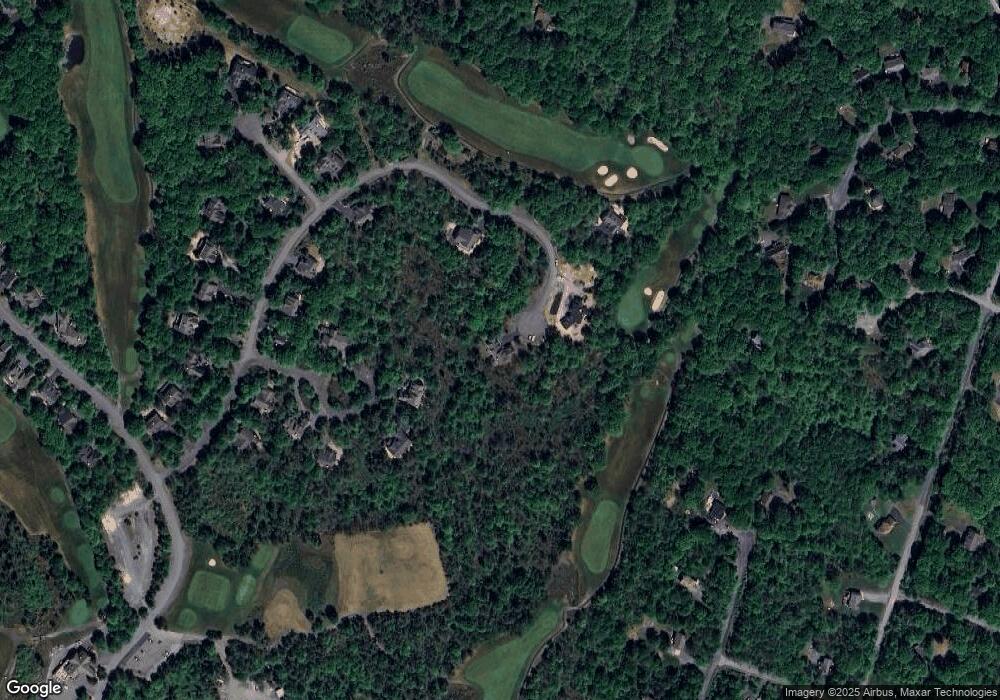
Map
Nearby Homes
- 56 Rd Nn
- 203 Wild Pines Dr
- 107 Wild Pines Dr
- 395 Sullivan Trail
- Lot 895 Hornbeam Ct 895 Ct
- Lot 5450 Sullivan Trail
- 5450 Sullivan Trail
- 409 Gentian Ln
- 628 Pinecrest Dr
- 408 Gentian Ln
- 3310 Black Cherry Ct
- 206 Arbutus Ct
- 2774 Long Pond Rd
- 7002 Long Pond Rd
- 2832 Long Pond Rd
- 187 Ash Dr
- 309 Mountain Top Lake Rd
- 408 Ash Dr
- 2557 Long Pond Rd
- 0 Skytop Rd
- 261 Wild Pines Dr
- 255 Wild Pines Dr
- 139 Birch Cliff Rd
- 139 Birch Cliff Rd
- 49 Road Oo
- 240 Wild Pines Dr
- 62 Rr Nn
- 138 Birch Cliff Rd
- 251 Wild
- 64 Nn Rd
- 135 Birch Cliff Rd
- 251 Wild Pines Dr
- 65A Rr Nn
- 0 Rd Nn 65a (Wild Pines)
- 64 Birch Cliff Rd
- 222 Wild Pines Dr
- 134 Birch Cliff Rd
- 212 Wild Pines Dr
- 206 Wild Pines Dr
- 204 Wild Pines Dr