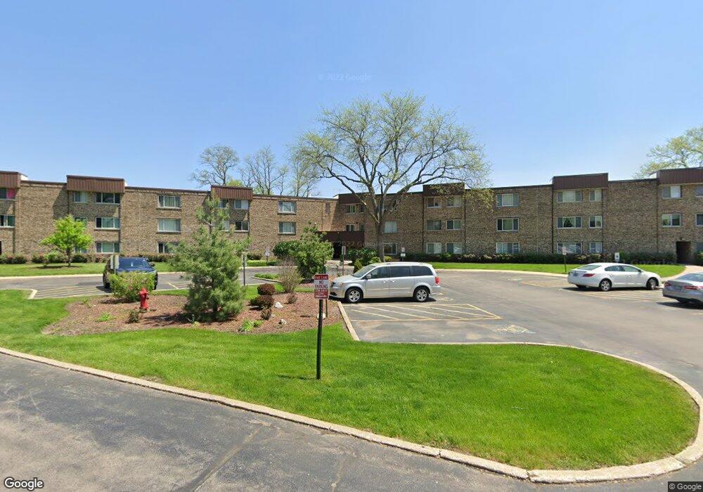
2600 Brookwood Way Dr Unit 311 Rolling Meadows, IL 60008
Creekside NeighborhoodEstimated Value: $159,000 - $178,199
1
Bed
--
Bath
780
Sq Ft
$218/Sq Ft
Est. Value
About This Home
This home is located at 2600 Brookwood Way Dr Unit 311, Rolling Meadows, IL 60008 and is currently estimated at $170,050, approximately $218 per square foot. 2600 Brookwood Way Dr Unit 311 is a home located in Cook County with nearby schools including Central Road Elementary School, Galatia Junior High School, and William Fremd High School.
Ownership History
Date
Name
Owned For
Owner Type
Purchase Details
Closed on
Jun 2, 2000
Sold by
Pfister Steve M and Pfister Kimberly A
Bought by
Kuhn Jennifer M
Current Estimated Value
Home Financials for this Owner
Home Financials are based on the most recent Mortgage that was taken out on this home.
Original Mortgage
$54,800
Interest Rate
8.27%
Purchase Details
Closed on
Feb 28, 2000
Sold by
Presco Jane
Bought by
Presco Albert
Purchase Details
Closed on
May 4, 1999
Sold by
Aiello Carl and Aiello Victoria
Bought by
Pfister Steve M
Create a Home Valuation Report for This Property
The Home Valuation Report is an in-depth analysis detailing your home's value as well as a comparison with similar homes in the area
Home Values in the Area
Average Home Value in this Area
Purchase History
| Date | Buyer | Sale Price | Title Company |
|---|---|---|---|
| Kuhn Jennifer M | $68,500 | -- | |
| Presco Albert | -- | -- | |
| Pfister Steve M | $50,000 | Chicago Title Insurance Co |
Source: Public Records
Mortgage History
| Date | Status | Borrower | Loan Amount |
|---|---|---|---|
| Previous Owner | Kuhn Jennifer M | $54,800 |
Source: Public Records
Tax History Compared to Growth
Tax History
| Year | Tax Paid | Tax Assessment Tax Assessment Total Assessment is a certain percentage of the fair market value that is determined by local assessors to be the total taxable value of land and additions on the property. | Land | Improvement |
|---|---|---|---|---|
| 2024 | $2,772 | $8,782 | $1,021 | $7,761 |
| 2023 | $2,669 | $8,782 | $1,021 | $7,761 |
| 2022 | $2,669 | $8,782 | $1,021 | $7,761 |
| 2021 | $2,486 | $7,272 | $603 | $6,669 |
| 2020 | $2,447 | $7,272 | $603 | $6,669 |
| 2019 | $2,464 | $8,148 | $603 | $7,545 |
| 2018 | $1,803 | $5,386 | $556 | $4,830 |
| 2017 | $1,766 | $5,386 | $556 | $4,830 |
| 2016 | $1,644 | $5,386 | $556 | $4,830 |
| 2015 | $2,610 | $7,999 | $510 | $7,489 |
| 2014 | $2,554 | $7,999 | $510 | $7,489 |
| 2013 | $2,491 | $7,999 | $510 | $7,489 |
Source: Public Records
Map
Nearby Homes
- 2600 Brookwood Way Dr Unit 316
- 2600 Brookwood Way Dr Unit 305
- 2600 Brookwood Unit 314
- 2600 Brookwood Way Dr Unit 212
- 3805 Fairfax Ave
- 2401 Rohlwing Rd
- 160 E Forest Ln
- 4301 Euclid Ave
- 2041 Vermont St
- 200 Edgewood Ln
- 3400 Wellington Ct Unit 306
- 2 Croydon on Duxbury
- 4 Eton on Oxford
- 208 Brookdale Ln
- 3355 Kirchoff Rd Unit 6A
- 4512 Kings Walk Dr Unit 1D
- 3265 Kirchoff Rd Unit 223
- 4602 Euclid Ave Unit 2A
- 4704 Euclid Ave Unit 1B
- 4941 Emerson Ave
- 2600 Brookwood Way Dr Unit 313
- 2600 Brookwood Way Dr Unit 114
- 2600 Brookwood Way Dr Unit 105
- 2600 Brookwood Way Dr Unit 308
- 2600 Brookwood Way Dr Unit 102
- 2600 Brookwood Way Dr Unit 314
- 2600 Brookwood Way Dr Unit 113
- 2600 Brookwood Way Dr Unit 312
- 2600 Brookwood Way Dr Unit 213
- 2600 Brookwood Way Dr Unit 315
- 2600 Brookwood Way Dr Unit 304
- 2600 Brookwood Way Dr Unit 211
- 2600 Brookwood Way Dr Unit 208
- 2600 Brookwood Way Dr Unit 206
- 2600 Brookwood Way Dr Unit 204
- 2600 Brookwood Way Dr Unit 201
- 2600 Brookwood Way Dr Unit 115
- 2600 Brookwood Way Dr Unit 112
- 2600 Brookwood Way Dr Unit 310
- 2600 Brookwood Way Dr Unit 209