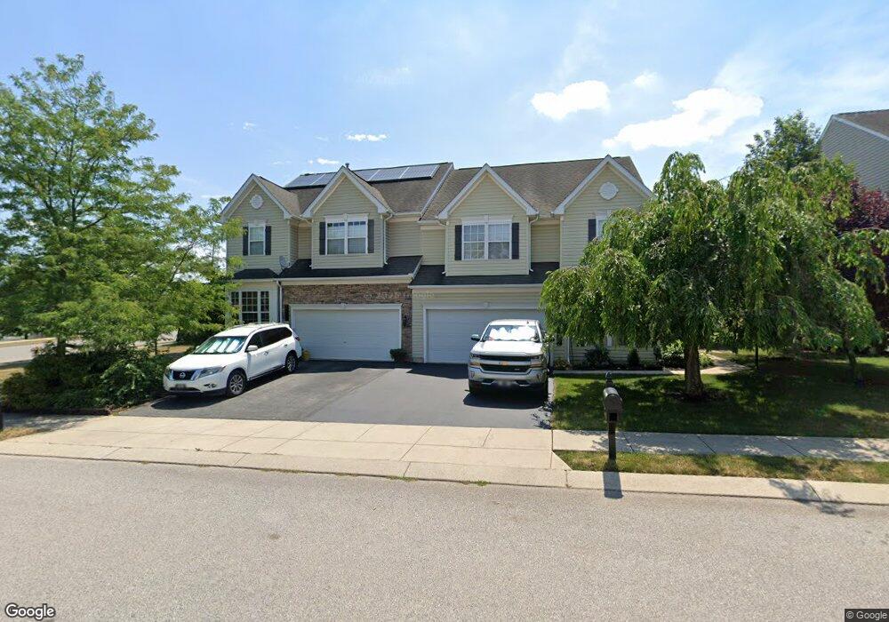
Estimated Value: $325,000 - $420,000
3
Beds
4
Baths
2,944
Sq Ft
$126/Sq Ft
Est. Value
About This Home
This home is located at 2600 Brownstone Dr, Dover, PA 17315 and is currently estimated at $370,791, approximately $125 per square foot. 2600 Brownstone Dr is a home located in York County with nearby schools including Dover Area High School and Lighthouse Christian School.
Ownership History
Date
Name
Owned For
Owner Type
Purchase Details
Closed on
Jun 30, 2006
Sold by
Altieri Enterprises Inc
Bought by
Storer Charles Frederick and Storer Sandra T
Current Estimated Value
Home Financials for this Owner
Home Financials are based on the most recent Mortgage that was taken out on this home.
Original Mortgage
$208,800
Outstanding Balance
$123,617
Interest Rate
6.6%
Mortgage Type
Purchase Money Mortgage
Estimated Equity
$247,174
Create a Home Valuation Report for This Property
The Home Valuation Report is an in-depth analysis detailing your home's value as well as a comparison with similar homes in the area
Home Values in the Area
Average Home Value in this Area
Purchase History
| Date | Buyer | Sale Price | Title Company |
|---|---|---|---|
| Storer Charles Frederick | $261,015 | None Available |
Source: Public Records
Mortgage History
| Date | Status | Borrower | Loan Amount |
|---|---|---|---|
| Open | Storer Charles Frederick | $208,800 |
Source: Public Records
Tax History Compared to Growth
Tax History
| Year | Tax Paid | Tax Assessment Tax Assessment Total Assessment is a certain percentage of the fair market value that is determined by local assessors to be the total taxable value of land and additions on the property. | Land | Improvement |
|---|---|---|---|---|
| 2025 | $6,663 | $203,090 | $34,880 | $168,210 |
| 2024 | $6,602 | $203,090 | $34,880 | $168,210 |
| 2023 | $6,602 | $203,090 | $34,880 | $168,210 |
| 2022 | $6,482 | $203,090 | $34,880 | $168,210 |
| 2021 | $6,116 | $203,090 | $34,880 | $168,210 |
| 2020 | $6,061 | $203,090 | $34,880 | $168,210 |
| 2019 | $5,986 | $203,090 | $34,880 | $168,210 |
| 2018 | $5,836 | $203,090 | $34,880 | $168,210 |
| 2017 | $5,836 | $203,090 | $34,880 | $168,210 |
| 2016 | $0 | $203,090 | $34,880 | $168,210 |
| 2015 | -- | $203,090 | $34,880 | $168,210 |
| 2014 | -- | $203,090 | $34,880 | $168,210 |
Source: Public Records
Map
Nearby Homes
- 2602 Brownstone Dr
- 2509 Village Rd
- 2601 Village Rd
- 2642 Victorian Dr
- 2670 Victorian Dr
- 2692 Victorian Dr
- 2662 Victorian Dr
- 2638 Victorian Dr
- 2690 Victorian Dr
- 2654 Victorian Dr
- 2666 Victorian Dr
- 3700 Castle Dr
- 2653 Victorian Dr
- 2637 Victorian Dr
- 2645 Victorian Dr
- 2641 Victorian Dr
- 2669 Victorian Dr
- 2691 Victorian Dr
- 2673 Victorian Dr
- 2695 Victorian Dr
- 2604 Brownstone Dr
- 2617 Brownstone Dr
- 2550 Brownstone Ct Unit 1
- 2550 Brownstone Ct
- 2601 Brownstone Dr
- 2606 Brownstone Dr
- 2603 Brownstone Dr
- 2660 Brownstone Dr
- 2658 Brownstone Dr
- 2654 Brownstone Dr
- 2674 Brownstone Dr
- 2639 Brownstone Dr
- 2610 Brownstone Dr
- 2546 Brownstone Ct Unit 35
- 2607 Brownstone Dr
- 2551 Brownstone Ct
- 2612 Brownstone Dr
- 0 Brownstone Dr
- 2600 Victorian Dr
- 2609 Brownstone Dr
