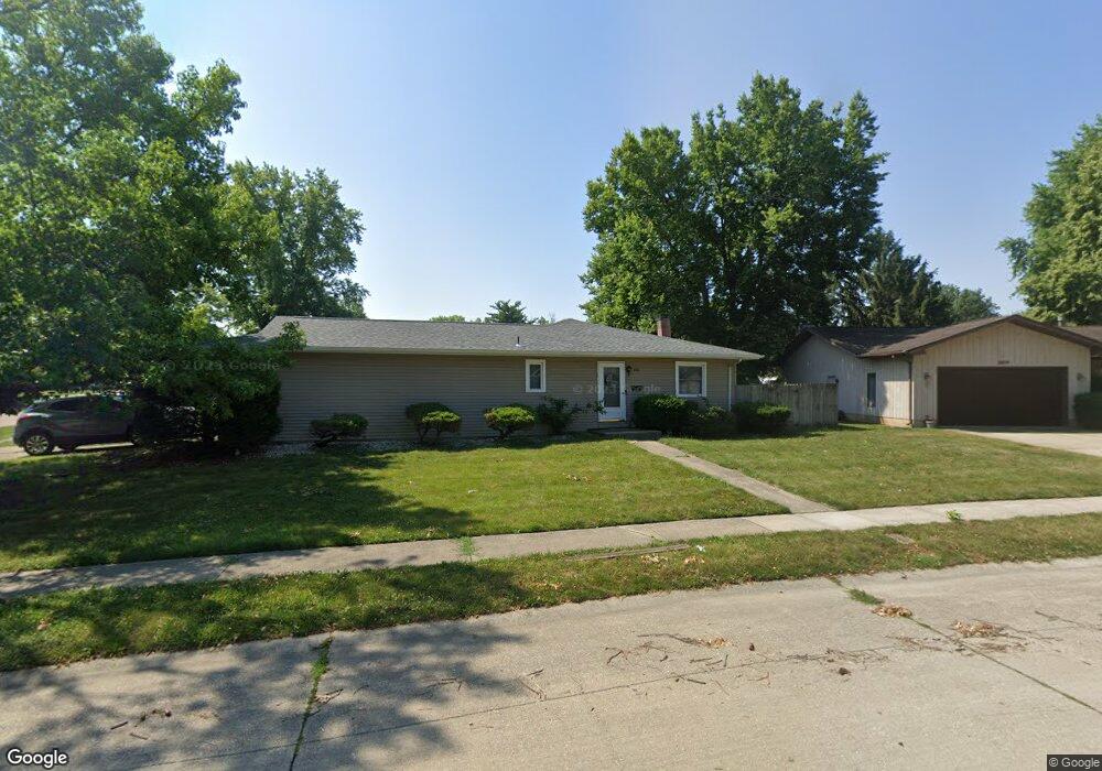
2600 Cardifs Ave Springfield, IL 62704
Pasfield Park Place NeighborhoodEstimated Value: $131,910 - $182,000
2
Beds
1
Bath
991
Sq Ft
$159/Sq Ft
Est. Value
About This Home
This home is located at 2600 Cardifs Ave, Springfield, IL 62704 and is currently estimated at $157,978, approximately $159 per square foot. 2600 Cardifs Ave is a home located in Sangamon County with nearby schools including Dubois Elementary School, U.S. Grant Middle School, and Springfield High School.
Ownership History
Date
Name
Owned For
Owner Type
Purchase Details
Closed on
Aug 11, 2022
Sold by
Hott and Katlyn
Bought by
Lin Philip Liang-Ying and Leung Catherine Ka
Current Estimated Value
Purchase Details
Closed on
Sep 17, 2020
Sold by
Schantz Mark L
Bought by
Hott Stephen and Hott Katlyn
Purchase Details
Closed on
Feb 19, 2008
Purchase Details
Closed on
Dec 5, 2007
Purchase Details
Closed on
Oct 29, 2007
Create a Home Valuation Report for This Property
The Home Valuation Report is an in-depth analysis detailing your home's value as well as a comparison with similar homes in the area
Home Values in the Area
Average Home Value in this Area
Purchase History
| Date | Buyer | Sale Price | Title Company |
|---|---|---|---|
| Lin Philip Liang-Ying | $225,000 | Barber Segatto Hoffee Wilke & | |
| Hott Stephen | $80,000 | Way Law Offices Llc | |
| -- | $38,000 | -- | |
| -- | -- | -- | |
| -- | -- | -- |
Source: Public Records
Tax History
| Year | Tax Paid | Tax Assessment Tax Assessment Total Assessment is a certain percentage of the fair market value that is determined by local assessors to be the total taxable value of land and additions on the property. | Land | Improvement |
|---|---|---|---|---|
| 2024 | $3,301 | $39,295 | $6,980 | $32,315 |
| 2023 | $3,173 | $35,893 | $6,376 | $29,517 |
| 2022 | $3,028 | $33,788 | $6,047 | $27,741 |
| 2021 | $2,927 | $32,523 | $5,821 | $26,702 |
| 2020 | $2,869 | $32,572 | $5,830 | $26,742 |
| 2019 | $2,816 | $32,459 | $5,810 | $26,649 |
| 2018 | $2,222 | $32,301 | $5,782 | $26,519 |
| 2017 | $2,170 | $31,883 | $5,707 | $26,176 |
| 2016 | $2,120 | $31,418 | $5,624 | $25,794 |
| 2015 | $2,093 | $31,043 | $5,557 | $25,486 |
| 2014 | $2,014 | $30,842 | $5,521 | $25,321 |
| 2013 | $1,969 | $30,301 | $5,521 | $24,780 |
Source: Public Records
Map
Nearby Homes
- 160 S Durkin Dr Unit 4
- 243 S Durkin Dr Unit 24
- 2651 W Lawrence Ave Unit 2
- 107 Collier Dr
- 6 Redwood Ln
- 36 Trailridge Ln Unit 152
- 504 Brandywine Rd
- 2309 W Lawrence Ave
- 900 S Durkin Dr Unit 7
- 2900 W Lawrence Ave
- 2138 W Lawrence Ave
- 2134 W Lawrence Ave
- 812 Roanoke Dr
- 1914 Jeanette Ln Unit 6
- 3229 W Point Dr
- 1913 Jeanette Ln Unit 8
- 3 Greenview Ct
- 2 Interlacken Rd
- 804 Fairfax Ct
- 3400 Briana Dr
- 2600 Cardifs Ave Unit 201 Oxford
- 2600 Cardifs Ave Unit 201 Oxford & 2600 Ca
- 201 S Oxford Rd
- 2604 Cardifs Ave
- 211 S Oxford Rd
- 121 S Oxford Rd
- 2605 Parsifal Ave
- 2601 Parsifal Ave
- 2609 Parsifal Ave
- 2605 Cardifs Ave
- 200 S Oxford Rd
- 204 S Oxford Rd
- 208 S Oxford Rd
- 2612 Cardifs Ave
- 2609 Cardifs Ave
- 2613 Parsifal Ave
- 212 S Oxford Rd
- 117 S Oxford Rd
- 120 S Oxford Rd
- 2616 Cardifs Ave
Your Personal Tour Guide
Ask me questions while you tour the home.