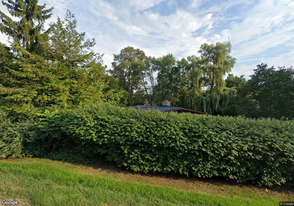
2600 Carlson Ct West Bloomfield, MI 48323
Estimated Value: $551,000 - $736,000
4
Beds
4
Baths
2,109
Sq Ft
$302/Sq Ft
Est. Value
About This Home
This home is located at 2600 Carlson Ct, West Bloomfield, MI 48323 and is currently estimated at $637,063, approximately $302 per square foot. 2600 Carlson Ct is a home located in Oakland County with nearby schools including West Hills Middle School, Bloomfield Hills High School, and Brookfield Academy - West Bloomfield Campus.
Ownership History
Date
Name
Owned For
Owner Type
Purchase Details
Closed on
Jul 14, 2020
Sold by
Ganapathy Hari V and Ganapathy Rachna H
Bought by
Ganapathy Hari V and Ganapathy Rachna H
Current Estimated Value
Purchase Details
Closed on
Dec 23, 2011
Sold by
Small Kimberly Fae
Bought by
Ganapathy Hari V and Ganapathy Rachna H
Purchase Details
Closed on
May 3, 1999
Sold by
Stern Sheldon Lee
Bought by
Small Kimberly Fae
Create a Home Valuation Report for This Property
The Home Valuation Report is an in-depth analysis detailing your home's value as well as a comparison with similar homes in the area
Home Values in the Area
Average Home Value in this Area
Purchase History
| Date | Buyer | Sale Price | Title Company |
|---|---|---|---|
| Ganapathy Hari V | -- | None Available | |
| Ganapathy Hari V | $400,000 | Interstate Title Inc | |
| Small Kimberly Fae | -- | -- |
Source: Public Records
Tax History Compared to Growth
Tax History
| Year | Tax Paid | Tax Assessment Tax Assessment Total Assessment is a certain percentage of the fair market value that is determined by local assessors to be the total taxable value of land and additions on the property. | Land | Improvement |
|---|---|---|---|---|
| 2024 | $3,308 | $271,660 | $0 | $0 |
| 2022 | $3,201 | $223,850 | $44,270 | $179,580 |
| 2021 | $5,903 | $213,100 | $0 | $0 |
| 2020 | $2,928 | $204,730 | $44,270 | $160,460 |
| 2018 | $5,549 | $191,590 | $35,470 | $156,120 |
| 2015 | -- | $169,170 | $0 | $0 |
| 2014 | -- | $151,860 | $0 | $0 |
| 2011 | -- | $132,650 | $0 | $0 |
Source: Public Records
Map
Nearby Homes
- 2460 Turner St
- 4641 Cove Rd
- 4274 Wendell Rd
- 2433 Wickfield Rd
- 4670 Cove Rd
- 4710 Cove Rd
- 0 Wendell Rd Unit 20250033815
- 3075 Bloomfield Park Dr
- 3142 Bloomfield Shore Dr
- 4724 Tara Ct
- 4768 Wendrick Dr
- 0000 Middlebelt Rd
- 3367 Lone Pine Rd
- 3440 Lone Pine Rd
- 4941 Fairway Ridge Cir
- 1992 Bent Tree Trail
- 4297 Wabeek Lake Dr S Unit 26
- 4174 Prescott Park Cir
- 4170 Prescott Park Cir
- 4033 Fox Lake Dr
- 2628 Ogden Dr
- 2574 Carlson Ct
- 2590 Carlson Ct
- 2611 Ogden Dr
- 2720 Lone Pine Rd
- 2565 Ogden Dr
- 2662 Ogden Dr
- 2582 Carlson Ct
- 2744 Lone Pine Rd
- 2554 Ogden Dr
- 2623 Worcester Rd
- 2584 Worcester Rd
- 2708 Lone Pine Rd
- 2543 Ogden Dr
- 2603 Worcester Rd
- 2532 Ogden Dr
- 2558 Worcester Rd
- 2654 Lone Pine Rd
- 2573 Worcester Rd
- 2521 Ogden Dr