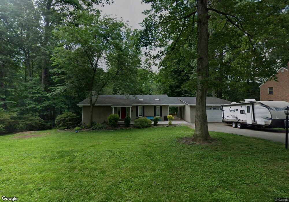
2600 Claret Dr Fallston, MD 21047
Estimated Value: $491,163 - $628,000
4
Beds
3
Baths
1,239
Sq Ft
$445/Sq Ft
Est. Value
About This Home
This home is located at 2600 Claret Dr, Fallston, MD 21047 and is currently estimated at $550,791, approximately $444 per square foot. 2600 Claret Dr is a home located in Harford County with nearby schools including Youths Benefit Elementary School, Fallston Middle School, and Fallston High School.
Ownership History
Date
Name
Owned For
Owner Type
Purchase Details
Closed on
Sep 13, 2010
Sold by
Watson James B
Bought by
Garrett Alan E and Mc Kenzie Mindy R
Current Estimated Value
Home Financials for this Owner
Home Financials are based on the most recent Mortgage that was taken out on this home.
Original Mortgage
$319,582
Outstanding Balance
$210,279
Interest Rate
4.37%
Mortgage Type
FHA
Estimated Equity
$340,512
Purchase Details
Closed on
Aug 27, 1999
Sold by
Taranto Richard J
Bought by
Watson James B and Watson Brooke B
Create a Home Valuation Report for This Property
The Home Valuation Report is an in-depth analysis detailing your home's value as well as a comparison with similar homes in the area
Home Values in the Area
Average Home Value in this Area
Purchase History
| Date | Buyer | Sale Price | Title Company |
|---|---|---|---|
| Garrett Alan E | $329,000 | -- | |
| Watson James B | $191,000 | -- |
Source: Public Records
Mortgage History
| Date | Status | Borrower | Loan Amount |
|---|---|---|---|
| Open | Garrett Alan E | $319,582 | |
| Closed | Watson James B | -- |
Source: Public Records
Tax History Compared to Growth
Tax History
| Year | Tax Paid | Tax Assessment Tax Assessment Total Assessment is a certain percentage of the fair market value that is determined by local assessors to be the total taxable value of land and additions on the property. | Land | Improvement |
|---|---|---|---|---|
| 2025 | $4,056 | $381,300 | $126,700 | $254,600 |
| 2024 | $4,056 | $366,633 | $0 | $0 |
| 2023 | $3,896 | $351,967 | $0 | $0 |
| 2022 | $3,736 | $337,300 | $126,700 | $210,600 |
| 2021 | $3,811 | $331,167 | $0 | $0 |
| 2020 | $3,811 | $325,033 | $0 | $0 |
| 2019 | $3,740 | $318,900 | $140,800 | $178,100 |
| 2018 | $3,610 | $310,467 | $0 | $0 |
| 2017 | $3,514 | $318,900 | $0 | $0 |
| 2016 | -- | $293,600 | $0 | $0 |
| 2015 | $3,497 | $293,600 | $0 | $0 |
| 2014 | $3,497 | $293,600 | $0 | $0 |
Source: Public Records
Map
Nearby Homes
- 2511 Port Ln
- 2509 Port Ln
- 2517 Port Ln
- 1709 C Laurel Brook Rd
- 1709 D Laurel Brook Rd
- 1709 B Laurel Brook Rd
- 1602 Thornwood Ct
- 2510 Roy Terrace
- 2702 Pleasantville Rd
- 2208 Arden Dr
- 2204 Arden Dr
- 2708 Lawson Rd
- Lot 5 Arden Dr
- 2114 Oaklyn Dr
- 2123 Round Hill Rd
- 1315 Old Fallston Rd
- 2011 Fallsgrove Way
- 2208 Carrs Mill Rd
- 700 Remington Rd
- 2326 Willow Vale Dr
- 2512 Claret Dr
- 2601 Claret Dr
- 2510 Claret Dr
- 2606 Claret Dr
- 2603 Claret Dr
- 1717 Chateau Ct
- 2602 Claret Dr
- 2605 Claret Dr
- 2608 Claret Dr
- 2508 Claret Dr
- 1710 Chateau Ct
- 1715 Chateau Ct
- 2604 Claret Dr
- 2607 Claret Dr
- 2511 Claret Dr
- 1708 Chateau Ct
- 1713 Chateau Ct
- 1802 Bordeaux Ct
- 2610 Claret Dr
- 1804 Bordeaux Ct