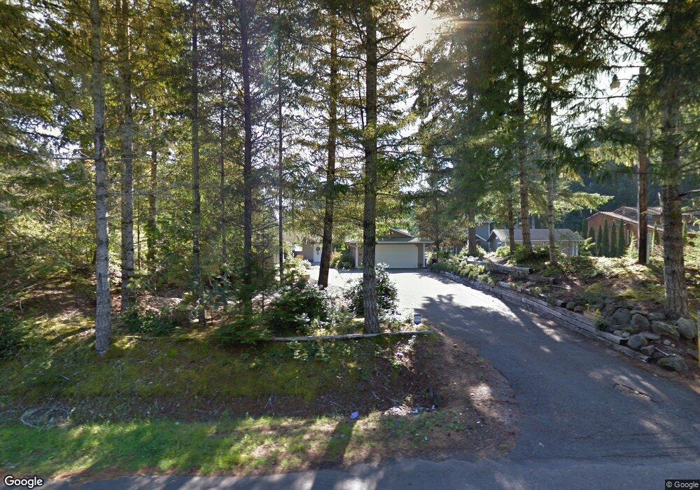
2600 E Saint Andrews Dr N Shelton, WA 98584
Estimated Value: $534,000 - $701,000
2
Beds
2
Baths
1,780
Sq Ft
$365/Sq Ft
Est. Value
About This Home
This home is located at 2600 E Saint Andrews Dr N, Shelton, WA 98584 and is currently estimated at $650,104, approximately $365 per square foot. 2600 E Saint Andrews Dr N is a home located in Mason County with nearby schools including Pioneer Primary School and Pioneer Intermediate/Middle School.
Ownership History
Date
Name
Owned For
Owner Type
Purchase Details
Closed on
Mar 19, 2009
Sold by
Croasdell John D W and Croasdell Julie W
Bought by
Croasdell John D W and Croasdell Julie
Current Estimated Value
Purchase Details
Closed on
Jul 11, 2005
Sold by
Oleary Larry Richard and Oleary Eileen Jane
Bought by
Croasdell John and Croasdell Julie
Home Financials for this Owner
Home Financials are based on the most recent Mortgage that was taken out on this home.
Original Mortgage
$186,760
Outstanding Balance
$94,897
Interest Rate
5.25%
Mortgage Type
Assumption
Estimated Equity
$555,207
Create a Home Valuation Report for This Property
The Home Valuation Report is an in-depth analysis detailing your home's value as well as a comparison with similar homes in the area
Home Values in the Area
Average Home Value in this Area
Purchase History
| Date | Buyer | Sale Price | Title Company |
|---|---|---|---|
| Croasdell John D W | -- | None Available | |
| Croasdell John | $233,169 | Mason County Title Ins Co |
Source: Public Records
Mortgage History
| Date | Status | Borrower | Loan Amount |
|---|---|---|---|
| Open | Croasdell John | $186,760 |
Source: Public Records
Tax History Compared to Growth
Tax History
| Year | Tax Paid | Tax Assessment Tax Assessment Total Assessment is a certain percentage of the fair market value that is determined by local assessors to be the total taxable value of land and additions on the property. | Land | Improvement |
|---|---|---|---|---|
| 2025 | $4,005 | $649,610 | $221,965 | $427,645 |
| 2023 | $4,005 | $545,245 | $138,215 | $407,030 |
| 2022 | $4,472 | $456,920 | $148,620 | $308,300 |
| 2021 | $4,231 | $456,920 | $148,620 | $308,300 |
| 2020 | $4,172 | $397,395 | $123,850 | $273,545 |
| 2018 | $3,245 | $278,205 | $120,000 | $158,205 |
| 2017 | $2,747 | $278,205 | $120,000 | $158,205 |
| 2016 | $2,751 | $242,565 | $105,000 | $137,565 |
| 2015 | $2,367 | $242,565 | $105,000 | $137,565 |
| 2014 | -- | $231,165 | $100,000 | $131,165 |
| 2013 | -- | $214,935 | $100,000 | $114,935 |
Source: Public Records
Map
Nearby Homes
- 310 E Ballantrae Dr
- 280 E Clonakilty Dr
- 550 E Way To Tipperary St
- 30 E Glenmorgan Ct
- 30 E Ballycastle Way
- 271 E Ballantrae Dr
- 201 E Sleaford Rd
- 220 E Peebles Ct
- 40 E Olde Lyme Rd
- 0 E Olde Lyme Rd
- 821 E Olde Lyme Rd
- 321 E Ballycastle Way
- 110 E Shannon Place
- 1341 E Saint Andrews Dr N
- 151 E Galway Rd
- 120 E Shannon Place
- 51 E Glamis Ct
- 1091 E Saint Andrews Dr
- 571 E Olde Lyme Rd
- 81 E Dunoon Place
- 2590 E Saint Andrews Dr N
- 2620 E Saint Andrews Dr N
- 2570 E Saint Andrews Dr N
- 2560 E Saint Andrews Dr N
- 2601 E Saint Andrews Dr N
- 2621 E Saint Andrews Dr N
- 2550 E Saint Andrews Dr N
- 2571 St Andrews Dr N
- 2571 E Saint Andrews Dr N
- 2551 E Saint Andrews Dr N
- 2540 E Saint Andrews Dr N
- 2541 E St Andrews Dr
- 2541 E Saint Andrews Dr N
- 2520 E Saint Andrews Dr N
- 0 L169 Saint Andrews Dr N
- 2521 E Saint Andrews Dr N
- 2490 E Saint Andrews Dr N
- 2501 E Saint Andrews Dr N
- 2491 E Saint Andrews Dr N
- 2470 E Saint Andrews Dr N