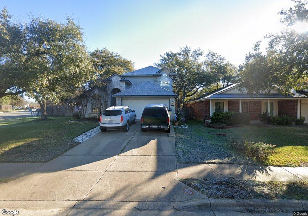
2600 Grist Ln Cedar Park, TX 78613
Anderson Mill West NeighborhoodEstimated Value: $447,755 - $475,000
--
Bed
3
Baths
1,982
Sq Ft
$234/Sq Ft
Est. Value
About This Home
This home is located at 2600 Grist Ln, Cedar Park, TX 78613 and is currently estimated at $463,689, approximately $233 per square foot. 2600 Grist Ln is a home located in Travis County with nearby schools including Cypress Elementary School, Cedar Park Middle, and Cedar Park High School.
Ownership History
Date
Name
Owned For
Owner Type
Purchase Details
Closed on
Mar 18, 2021
Sold by
Broussard G Kelly G and Broussard Sandra G
Bought by
Broussard Sandra G
Current Estimated Value
Purchase Details
Closed on
Jun 24, 1998
Sold by
Dempsey Linda C and Dempsey Bea
Bought by
Broussard G Kelly and Broussard Sandra G
Home Financials for this Owner
Home Financials are based on the most recent Mortgage that was taken out on this home.
Original Mortgage
$119,428
Outstanding Balance
$24,225
Interest Rate
7.21%
Mortgage Type
FHA
Estimated Equity
$439,464
Purchase Details
Closed on
Jun 24, 1996
Sold by
Milburn Investments Inc
Bought by
Dempsey Linda C and Dempsey Bea
Home Financials for this Owner
Home Financials are based on the most recent Mortgage that was taken out on this home.
Original Mortgage
$92,150
Interest Rate
6.5%
Create a Home Valuation Report for This Property
The Home Valuation Report is an in-depth analysis detailing your home's value as well as a comparison with similar homes in the area
Home Values in the Area
Average Home Value in this Area
Purchase History
| Date | Buyer | Sale Price | Title Company |
|---|---|---|---|
| Broussard Sandra G | -- | None Available | |
| Broussard G Kelly | -- | -- | |
| Dempsey Linda C | -- | Travis Title |
Source: Public Records
Mortgage History
| Date | Status | Borrower | Loan Amount |
|---|---|---|---|
| Open | Broussard G Kelly | $119,428 | |
| Previous Owner | Dempsey Linda C | $92,150 |
Source: Public Records
Tax History Compared to Growth
Tax History
| Year | Tax Paid | Tax Assessment Tax Assessment Total Assessment is a certain percentage of the fair market value that is determined by local assessors to be the total taxable value of land and additions on the property. | Land | Improvement |
|---|---|---|---|---|
| 2025 | $8,436 | $412,364 | $100,000 | $312,364 |
| 2023 | $9,221 | $485,117 | $40,000 | $445,117 |
| 2022 | $10,542 | $503,925 | $40,000 | $463,925 |
| 2021 | $6,872 | $306,788 | $40,000 | $266,788 |
| 2020 | $6,743 | $280,683 | $40,000 | $240,683 |
| 2018 | $6,674 | $264,784 | $40,000 | $224,784 |
| 2017 | $6,488 | $252,038 | $40,000 | $212,038 |
| 2016 | $5,980 | $232,277 | $40,000 | $199,284 |
| 2015 | $4,886 | $211,161 | $40,000 | $171,161 |
| 2014 | $4,886 | $195,922 | $40,000 | $155,922 |
Source: Public Records
Map
Nearby Homes
- 2404 Guara Dr
- 2113 Lobelia Dr
- 2411 Guara Dr
- 2310 Dervingham Dr
- 2901 Cashell Wood Dr
- 2602 Rainfall Trail
- 2803 Corabella Place
- 2907 Briona Wood Ln
- 2003 Dayflower Trace
- 2608 Buckeye Trail
- 2909 Cashell Wood Dr
- 2401 Powderham Ln
- 2204 Tattler Dr
- 2410 Falmer Ct
- 2919 Cashell Wood Dr
- 2601 Izoro Bend
- 2519 Terlingua Dr
- 2513 Durlston Ct
- 1707 Yucca Ln
- 1704 Old Mill Rd