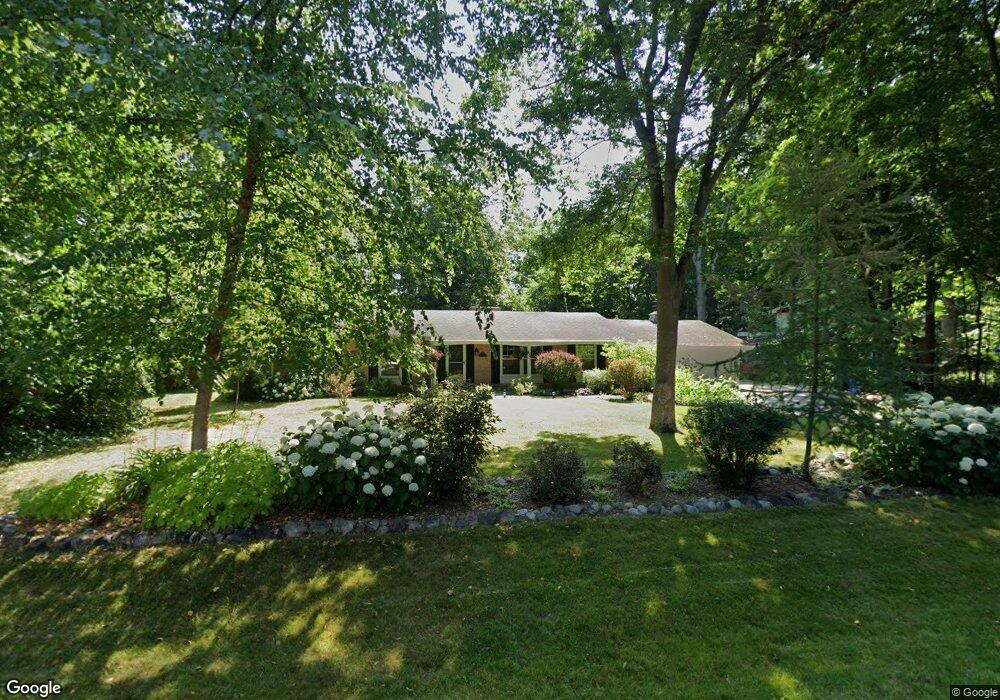
2600 Harmony Cir Brookfield, WI 53045
Brookfield Town NeighborhoodEstimated Value: $481,482 - $572,000
Studio
--
Bath
--
Sq Ft
0.47
Acres
About This Home
This home is located at 2600 Harmony Cir, Brookfield, WI 53045 and is currently estimated at $512,621. 2600 Harmony Cir is a home located in Waukesha County with nearby schools including Brookfield Elementary School, Wisconsin Hills Middle School, and Brookfield Central High School.
Ownership History
Date
Name
Owned For
Owner Type
Purchase Details
Closed on
May 19, 2017
Sold by
Doepke David J
Bought by
Brien Erin O
Current Estimated Value
Purchase Details
Closed on
Dec 27, 2013
Sold by
The Jack E Felser And Jeraldine J Felser
Bought by
Doepke David J and Doepke Debra R
Purchase Details
Closed on
Jul 10, 2008
Sold by
The Jack E & Jeraldine J Felser Joint Li
Bought by
Doepke David J and Doepke Debra R
Home Financials for this Owner
Home Financials are based on the most recent Mortgage that was taken out on this home.
Original Mortgage
$190,400
Interest Rate
5.62%
Mortgage Type
Purchase Money Mortgage
Purchase Details
Closed on
Dec 19, 2003
Sold by
Felser Jack E and Felser Jeraldine J
Bought by
Felser Jack E and Felser Jeraldine J
Create a Home Valuation Report for This Property
The Home Valuation Report is an in-depth analysis detailing your home's value as well as a comparison with similar homes in the area
Home Values in the Area
Average Home Value in this Area
Purchase History
| Date | Buyer | Sale Price | Title Company |
|---|---|---|---|
| Brien Erin O | $303,200 | Prism Title | |
| Doepke David J | -- | None Available | |
| Doepke David J | $238,000 | None Available | |
| Felser Jack E | -- | -- |
Source: Public Records
Mortgage History
| Date | Status | Borrower | Loan Amount |
|---|---|---|---|
| Previous Owner | Doepke David J | $190,400 |
Source: Public Records
Tax History
| Year | Tax Paid | Tax Assessment Tax Assessment Total Assessment is a certain percentage of the fair market value that is determined by local assessors to be the total taxable value of land and additions on the property. | Land | Improvement |
|---|---|---|---|---|
| 2024 | $3,871 | $364,100 | $92,600 | $271,500 |
| 2023 | $3,746 | $364,100 | $92,600 | $271,500 |
| 2022 | $4,037 | $364,100 | $92,600 | $271,500 |
| 2021 | $4,123 | $302,900 | $77,200 | $225,700 |
| 2020 | $4,338 | $302,900 | $77,200 | $225,700 |
| 2019 | $4,268 | $302,900 | $77,200 | $225,700 |
| 2018 | $4,080 | $277,800 | $73,500 | $204,300 |
| 2017 | $4,002 | $277,800 | $73,500 | $204,300 |
| 2016 | $3,575 | $247,200 | $73,500 | $173,700 |
| 2015 | $3,573 | $247,200 | $73,500 | $173,700 |
| 2014 | $3,689 | $247,200 | $73,500 | $173,700 |
| 2013 | $3,689 | $232,000 | $69,300 | $162,700 |
Source: Public Records
Map
Nearby Homes
- 2465 Lionel Ct
- 2820 Norman Dr
- W221N3075 Greenwood Ct
- 1930 Cotton Tail Ln
- W224N2507 Ridgewood Ln
- N19W22081 Foxview Ct Unit 2B
- 20305 Downing Ct
- Lt118 Berwick Ct
- Lt120 Berwick Ct
- Lt116 Berwick Ct
- Lt114 Berwick Ct
- 1825 Derrin Ln
- 21445 Gumina Rd
- 2000 Kathlynn Ct
- 19775 Trilby Ct
- 19260 Brookdale Dr
- 18860 N Hills Dr
- 18850 N Hills Dr
- 18985 Wilderness Ct Unit B
- N37W22910 Wyndemere Dr
- 2620 Harmony Cir
- 2550 Harmony Cir
- 2605 Almesbury Ave
- 21630 Gaywood Dr
- 2625 Almesbury Ave
- 2605 Harmony Cir
- 2640 Harmony Cir
- 21665 Mayrose Blvd
- 2565 Almesbury Ave
- 21625 Gaywood Dr
- 2645 Almesbury Ave
- 21705 Mayrose Blvd
- 21670 Gaywood Dr
- 2570 Gaywood Ct
- 2545 Almesbury Ave
- 2620 Almesbury Ave
- 21665 Gaywood Dr
- 21660 Mayrose Blvd
- 21425 Talbots Ln
- 2640 Almesbury Ave
Your Personal Tour Guide
Ask me questions while you tour the home.