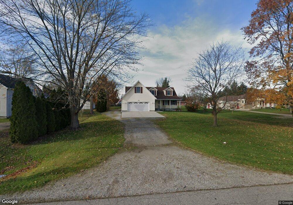
2600 Henry St Port Huron, MI 48060
Estimated Value: $249,000 - $317,363
3
Beds
3
Baths
2,186
Sq Ft
$137/Sq Ft
Est. Value
About This Home
This home is located at 2600 Henry St, Port Huron, MI 48060 and is currently estimated at $299,591, approximately $137 per square foot. 2600 Henry St is a home located in St. Clair County with nearby schools including H.D. Crull Elementary School, Holland Woods Middle School, and Port Huron High School.
Create a Home Valuation Report for This Property
The Home Valuation Report is an in-depth analysis detailing your home's value as well as a comparison with similar homes in the area
Home Values in the Area
Average Home Value in this Area
Tax History
| Year | Tax Paid | Tax Assessment Tax Assessment Total Assessment is a certain percentage of the fair market value that is determined by local assessors to be the total taxable value of land and additions on the property. | Land | Improvement |
|---|---|---|---|---|
| 2025 | $1,810 | $147,100 | $0 | $0 |
| 2024 | $1,757 | $159,800 | $0 | $0 |
| 2023 | $1,621 | $147,100 | $0 | $0 |
| 2022 | $2,995 | $127,200 | $0 | $0 |
| 2020 | $2,742 | $108,500 | $108,500 | $0 |
| 2019 | $2,691 | $83,500 | $0 | $0 |
| 2018 | $2,628 | $83,500 | $0 | $0 |
| 2017 | $2,569 | $72,400 | $0 | $0 |
| 2016 | $1,227 | $72,400 | $0 | $0 |
| 2015 | -- | $72,600 | $72,600 | $0 |
| 2014 | -- | $69,700 | $69,700 | $0 |
| 2013 | -- | $68,000 | $0 | $0 |
Source: Public Records
Map
Nearby Homes