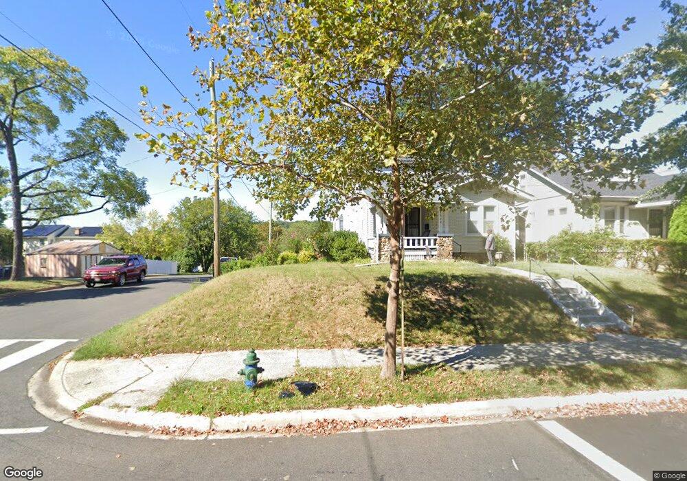
2600 Monroe St NE Washington, DC 20018
Woodridge NeighborhoodEstimated Value: $522,000 - $713,000
3
Beds
2
Baths
1,450
Sq Ft
$427/Sq Ft
Est. Value
About This Home
This home is located at 2600 Monroe St NE, Washington, DC 20018 and is currently estimated at $619,355, approximately $427 per square foot. 2600 Monroe St NE is a home located in District of Columbia with nearby schools including Burroughs Education Campus, Brookland Middle School, and Dunbar High School.
Ownership History
Date
Name
Owned For
Owner Type
Purchase Details
Closed on
Jun 19, 2025
Sold by
Crutchfield Hamilton Lewis and Hamilton Olivia B
Bought by
Hamilton Living Trust
Current Estimated Value
Purchase Details
Closed on
Sep 22, 1993
Sold by
Sev Vet Affr
Bought by
Hamilton Olivia B
Home Financials for this Owner
Home Financials are based on the most recent Mortgage that was taken out on this home.
Original Mortgage
$81,000
Interest Rate
7.1%
Create a Home Valuation Report for This Property
The Home Valuation Report is an in-depth analysis detailing your home's value as well as a comparison with similar homes in the area
Home Values in the Area
Average Home Value in this Area
Purchase History
| Date | Buyer | Sale Price | Title Company |
|---|---|---|---|
| Hamilton Living Trust | -- | None Listed On Document | |
| Hamilton Olivia B | $84,000 | -- |
Source: Public Records
Mortgage History
| Date | Status | Borrower | Loan Amount |
|---|---|---|---|
| Previous Owner | Hamilton Olivia B | $81,000 |
Source: Public Records
Tax History Compared to Growth
Tax History
| Year | Tax Paid | Tax Assessment Tax Assessment Total Assessment is a certain percentage of the fair market value that is determined by local assessors to be the total taxable value of land and additions on the property. | Land | Improvement |
|---|---|---|---|---|
| 2025 | $1,668 | $668,910 | $386,470 | $282,440 |
| 2024 | $1,647 | $661,190 | $382,970 | $278,220 |
| 2023 | $1,627 | $639,190 | $367,850 | $271,340 |
| 2022 | $1,618 | $557,250 | $321,860 | $235,390 |
| 2021 | $1,550 | $544,110 | $320,320 | $223,790 |
| 2020 | $1,479 | $533,490 | $310,940 | $222,550 |
| 2019 | $1,412 | $511,120 | $300,860 | $210,260 |
| 2018 | $1,351 | $491,980 | $0 | $0 |
| 2017 | $1,231 | $447,870 | $0 | $0 |
| 2016 | $1,122 | $413,790 | $0 | $0 |
| 2015 | $1,532 | $367,550 | $0 | $0 |
| 2014 | $1,867 | $318,450 | $0 | $0 |
Source: Public Records
Map
Nearby Homes
- 2622 Rhode Island Ave NE
- 2439 Monroe St NE
- 2620 Brentwood Rd NE
- 3123 S Dakota Ave NE
- 3121 S Dakota Ave NE
- 3505 24th St NE
- 2628 Myrtle Ave NE
- 2405 Rhode Island Ave NE
- 2814 Rhode Island Ave NE
- 2639 Myrtle Ave NE
- 2316 Monroe St NE
- 3141 Central Ave NE
- 3309 22nd St NE
- 2838 Myrtle Ave NE
- 2222 Otis St NE
- 3015 26th St NE
- 2123 Kearny St NE
- 2905 Carlton Ave NE
- 2414 Perry St NE
- 2114 Kearny St NE
- 2604 Monroe St NE
- 2606 Monroe St NE
- 3515 26th St NE
- 2444 Monroe St NE
- 2608 Monroe St NE
- 2440 Monroe St NE
- 2610 Monroe St NE
- 2605 Newton St NE
- 3518 26th St NE
- 2609 Newton St NE
- 2601 Monroe St NE
- 2624 Monroe St NE
- 2603 Monroe St NE
- 2607 Monroe St NE
- 2438 Monroe St NE
- 2439 Newton St NE
- 2443 Monroe St NE
- 2615 Newton St NE
- 2609 Monroe St NE
- 2626 Monroe St NE