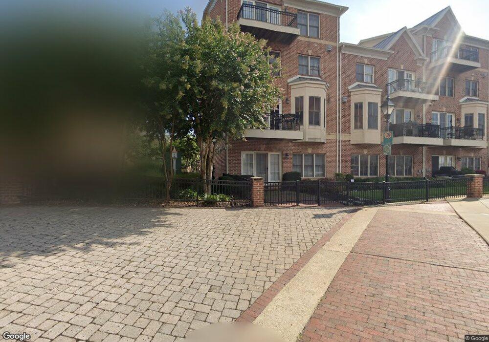
2600 Moorings Ct Baltimore, MD 21224
Canton NeighborhoodEstimated Value: $971,288 - $1,389,000
3
Beds
5
Baths
4,160
Sq Ft
$284/Sq Ft
Est. Value
About This Home
This home is located at 2600 Moorings Ct, Baltimore, MD 21224 and is currently estimated at $1,182,822, approximately $284 per square foot. 2600 Moorings Ct is a home located in Baltimore City with nearby schools including Booker T. Washington Middle School, Paul Laurence Dunbar Community High School, and Digital Harbor High School.
Ownership History
Date
Name
Owned For
Owner Type
Purchase Details
Closed on
Oct 13, 2011
Sold by
Cammarata Glenn R
Bought by
Glazer Barry and Gargeu Gina
Current Estimated Value
Purchase Details
Closed on
Aug 31, 2005
Sold by
Moorings At Canton
Bought by
Cammarata Glenn R
Purchase Details
Closed on
Aug 11, 2005
Sold by
Moorings At Canton
Bought by
Cammarata Glenn R
Create a Home Valuation Report for This Property
The Home Valuation Report is an in-depth analysis detailing your home's value as well as a comparison with similar homes in the area
Home Values in the Area
Average Home Value in this Area
Purchase History
| Date | Buyer | Sale Price | Title Company |
|---|---|---|---|
| Glazer Barry | $620,000 | -- | |
| Cammarata Glenn R | $968,300 | -- | |
| Cammarata Glenn R | $968,300 | -- |
Source: Public Records
Tax History Compared to Growth
Tax History
| Year | Tax Paid | Tax Assessment Tax Assessment Total Assessment is a certain percentage of the fair market value that is determined by local assessors to be the total taxable value of land and additions on the property. | Land | Improvement |
|---|---|---|---|---|
| 2025 | $18,423 | $1,102,867 | -- | -- |
| 2024 | $18,423 | $1,001,433 | $0 | $0 |
| 2023 | $20,375 | $900,000 | $150,000 | $750,000 |
| 2022 | $16,700 | $1,067,833 | $0 | $0 |
| 2021 | $21,638 | $916,867 | $0 | $0 |
| 2020 | $18,075 | $765,900 | $150,000 | $615,900 |
| 2019 | $16,249 | $765,900 | $150,000 | $615,900 |
| 2018 | $16,535 | $765,900 | $150,000 | $615,900 |
| 2017 | $19,121 | $810,200 | $0 | $0 |
| 2016 | $21,412 | $746,633 | $0 | $0 |
| 2015 | $21,412 | $683,067 | $0 | $0 |
| 2014 | $21,412 | $619,500 | $0 | $0 |
Source: Public Records
Map
Nearby Homes
- 2702 Lighthouse Point E
- 2702 Lighthouse Point E
- 2772 Lighthouse Point E Unit 101
- 2772 Lighthouse Point E Unit 211
- 2515 Boston St Unit 1206
- 2515 Boston St Unit 706
- 2515 Boston St Unit 201
- 1200 S Kenwood Ave
- 1004 S Belnord Ave
- 2807 Elliott St
- 1012 S Kenwood Ave
- 2718 Dillon St
- 1015 S Kenwood Ave
- 2415 Boston St
- 922 S Kenwood Ave
- 935 S Kenwood Ave
- 832 S Milton Ave
- 1024 S Linwood Ave
- 2901 Boston St Unit 302
- 2901 Boston St Unit 513
- 2602 Moorings Ct
- 2604 Moorings Ct
- 2606 Moorings Ct
- 1226 Dockside Cir
- 1228 Dockside Cir
- 2608 Moorings Ct
- 1251 Dockside Cir
- 2600 Lighthouse Ln
- 1230 Dockside Cir
- 1219 Dockside Cir
- 2602 Lighthouse Ln
- 1212 Anchorage View Ct
- 2610 Moorings Ct
- 1217 Dockside Cir
- 1232 Dockside Cir
- 2607 Moorings Ct
- 2604 Lighthouse Ln
- 1210 Anchorage View Ct
- 1215 Dockside Cir
- 2609 Moorings Ct