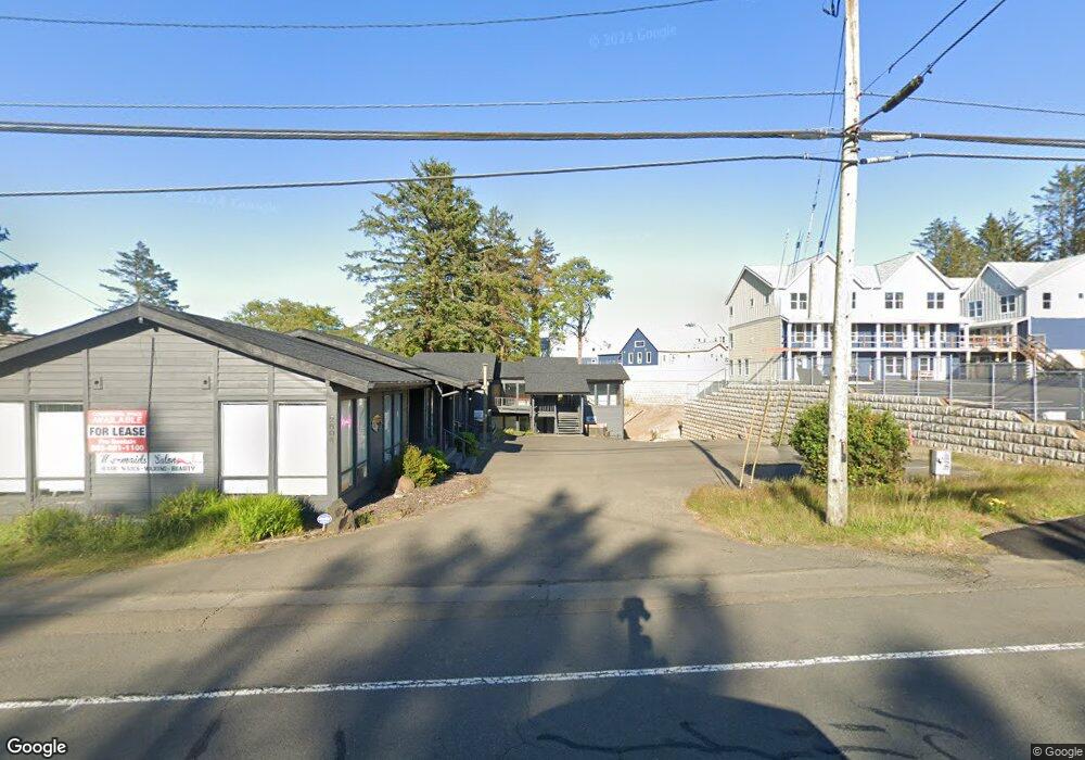
2600 NE Highway 101 Lincoln City, OR 97367
Estimated Value: $1,265,698
--
Bed
7
Baths
7,558
Sq Ft
$167/Sq Ft
Est. Value
About This Home
This home is located at 2600 NE Highway 101, Lincoln City, OR 97367 and is currently priced at $1,265,698, approximately $167 per square foot. 2600 NE Highway 101 is a home located in Lincoln County with nearby schools including Oceanlake Elementary School, Taft Elementary School, and Taft High School.
Ownership History
Date
Name
Owned For
Owner Type
Purchase Details
Closed on
Mar 8, 2023
Sold by
Miyamoto Rodney
Bought by
Provancha Yui and Provancha Mary Leach
Current Estimated Value
Home Financials for this Owner
Home Financials are based on the most recent Mortgage that was taken out on this home.
Original Mortgage
$725,000
Outstanding Balance
$353,765
Interest Rate
6.13%
Mortgage Type
New Conventional
Purchase Details
Closed on
Feb 15, 2005
Sold by
Derr Robert G and Derr Kathryn M
Bought by
Miyamoto Rodney
Create a Home Valuation Report for This Property
The Home Valuation Report is an in-depth analysis detailing your home's value as well as a comparison with similar homes in the area
Home Values in the Area
Average Home Value in this Area
Purchase History
| Date | Buyer | Sale Price | Title Company |
|---|---|---|---|
| Provancha Yui | $450,000 | Western Title | |
| Miyamoto Rodney | $545,000 | -- |
Source: Public Records
Mortgage History
| Date | Status | Borrower | Loan Amount |
|---|---|---|---|
| Open | Provancha Yui | $725,000 |
Source: Public Records
Tax History Compared to Growth
Tax History
| Year | Tax Paid | Tax Assessment Tax Assessment Total Assessment is a certain percentage of the fair market value that is determined by local assessors to be the total taxable value of land and additions on the property. | Land | Improvement |
|---|---|---|---|---|
| 2025 | $13,137 | $786,440 | $404,890 | $381,550 |
| 2024 | $15,836 | $922,300 | -- | -- |
| 2023 | $15,399 | $895,440 | $0 | $0 |
| 2022 | $14,970 | $869,360 | $0 | $0 |
| 2021 | $14,262 | $844,040 | $0 | $0 |
| 2020 | $13,746 | $819,460 | $0 | $0 |
| 2019 | $13,112 | $785,610 | $0 | $0 |
| 2018 | $13,200 | $785,610 | $0 | $0 |
| 2017 | $13,009 | $785,610 | $0 | $0 |
| 2016 | $12,917 | $796,160 | $0 | $0 |
| 2015 | $12,442 | $772,980 | $0 | $0 |
| 2014 | $12,275 | $753,830 | $0 | $0 |
Source: Public Records
Map
Nearby Homes
- 2631 NE Quay Ave
- 2820 NE Hwy 101
- 2509 NE 27th Dr
- 2930 NE Hwy 101
- Parcel 1 NE Surf Ave
- TL5300 NE 27th Dr
- 296 NE Highway 101
- 296 NW U S 101
- 1455 NW 26th St
- 3034 NW Oar Dr
- 3039 NW Oar Dr
- 0 SE 6300 Quay Place Place Unit 390340457
- 2300 Blk NE Surf Ave
- 3244 NW Oar Dr
- 2716 NW Jetty Ave
- 2270 NE Surf Ave
- 2064 NW 33rd St
- 3015 NW Keel Ave
- 3246 NW Mast Ave
- 2100 NE 21st St
- 2600 NE Highway 101 (-2604) Hwy
- 2626 NE Highway 101
- 2644 NE Highway 101
- 2707 NE Quay Ave
- 2702 NE Highway 101
- 2702 NE Highway 101
- 2632 NE Quay Ave
- 1919 NW 26th St Unit + One Commercial Lot
- 1919 NW 26th St
- 1907 NW 26th St
- 2711 NE Quay Ave
- 2646 NE Quay Ave
- 2701 NW U S 101
- 2728 NE Highway 101
- 2728 NE Highway 101
- 2700 NE Quay Ave
- 2710 NE Quay Ave
- 2424 NE Highway 101
- 2735 NE Quay Ave
- 1845 NW 26th St