2600 Pheasant Loop Westcliffe, CO 81252
Estimated Value: $1,202,895 - $1,657,000
About This Home
This home is located at 2600 Pheasant Loop, Westcliffe, CO 81252 and is currently estimated at $1,445,724, approximately $231 per square foot. 2600 Pheasant Loop is a home located in Custer County with nearby schools including Custer County Elementary School, Custer Middle School, and Custer County High School.
Ownership History
We collect this data history from publicly available records. To have your information removed, we recommend requesting removal directly through your county’s website.
Purchase Details
Purchase Details
Home Financials for this Owner
Home Financials are based on the most recent Mortgage that was taken out on this home.Purchase History
We collect this data history from publicly available records. To have your information removed, we recommend requesting removal directly through your county’s website.
| Date | Buyer | Sale Price | Title Company |
|---|---|---|---|
| -- | -- | ||
| -- | None Available | ||
| $1,208,000 | None Listed On Document |
Mortgage History
We collect this data history from publicly available records. To have your information removed, we recommend requesting removal directly through your county’s website.
| Date | Status | Borrower | Loan Amount |
|---|---|---|---|
| Previous Owner | $770,000 |
Tax History
We collect this data history from publicly available records. To have your information removed, we recommend requesting removal directly through your county’s website.
| Year | Tax Paid | Tax Assessment Tax Assessment Total Assessment is a certain percentage of the fair market value that is determined by local assessors to be the total taxable value of land and additions on the property. | Land | Improvement |
|---|---|---|---|---|
| 2025 | $5,669 | $83,860 | $0 | $0 |
| 2024 | $5,195 | $86,140 | $0 | $0 |
| 2023 | $5,195 | $86,140 | $0 | $0 |
| 2022 | $5,447 | $84,510 | $7,550 | $76,960 |
| 2021 | $5,113 | $84,510 | $7,550 | $76,960 |
| 2020 | $4,641 | $78,240 | $7,550 | $70,690 |
| 2019 | $4,617 | $78,240 | $7,550 | $70,690 |
| 2018 | $3,955 | $67,750 | $7,600 | $60,150 |
| 2017 | $3,834 | $67,744 | $7,603 | $60,141 |
| 2016 | $3,983 | $73,410 | $7,570 | $65,840 |
| 2015 | -- | $922,215 | $95,040 | $827,175 |
| 2012 | $4,507 | $950,687 | $105,600 | $845,087 |
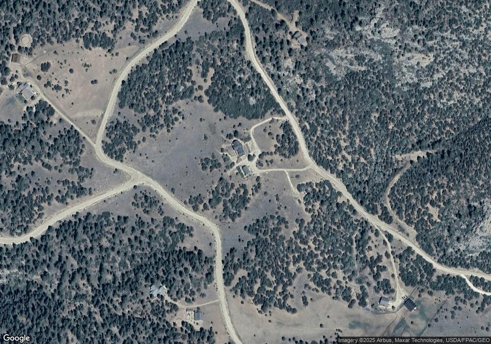
Map
- 2613 Pheasant Loop
- 1301 Pheasant Loop
- 278 Blue Grouse Cir
- 1328 Roundup Rd
- 1328 Round up Rd
- 100 Reatta Rd
- 68600 Colorado 69
- 870 Oak Dr
- 68600 State Highway 69
- 325 Mcmurtrie Rd
- 188 Looters Ln
- 5155 County Road 215
- 5155 Co Rd 215
- TBD Lot 36 Corral N
- TBD - Lot 36 Corral
- 0 Corral N Unit REC4003395
- 0 Corral N Unit 5584754
- 1380&1410 Oak Dr
- 1491 Oak Dr
- TBD Lot 34 Corral N
- 2600 Pheasant Loop
- 200 Lot 18 Pheasant
- 200 Pheasant Loop
- 2600 Fka Pheasant Loop
- 0 Wild Turkey Rd Unit 2660223
- 0 Wild Turkey Rd Unit 1 136473
- 0 Wild Turkey Rd Unit 3255071
- 1520 Wild Turkey Rd
- Lot 40 N Pheasant Loop Unit 40
- 2410 Pheasant Loop
- 114 Merriam Turkey Rd
- 1880 Pheasant Loop
- 475 Merriam Turkey Rd
- 0 Merriam Turkey Rd
- 151 Merriam Turkey Rd
- 1830 Wild Turkey Rd
- 1051 Wild Turkey Rd
- 260 Merriam Turkey Rd
- 1705 Pheasant Loop
- 205 Kestrel Ct
Ask me questions while you tour the home.